Byron Bay
The most easterly point of mainland Australia, a surf and wellness town below a whitewashed clifftop lighthouse.
Updated 18 October 2026
AI illustration
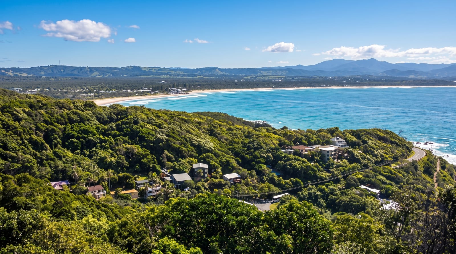
Byron Bay wraps around a bay below Cape Byron, the easternmost point of the Australian mainland, marked by a lighthouse built in 1901 that stands white against the headland with a walking track looping around the cape below it. The town went from a whaling and meatworks port to a surf and counterculture destination in the 1970s and has since become one of the most visited places on the coast, with a dense scene of yoga studios, restaurants, markets and festivals. The surf breaks at The Pass and Wategos are long and forgiving, dolphins are often seen from the headland, and humpbacks pass close between May and November. Development pressure and housing costs are constant local issues.
History
The area is the land of the Arakwal, Minjungbal and Widjabul peoples of the Bundjalung Nation, who have lived on this coast for at least 22,000 years; the township area was called Cavvanbah, meeting place, and tradition holds that the creator Nguthungulli rests at what are now the Julian Rocks. In 1770 James Cook found safe anchorage here and named Cape Byron after Vice Admiral John Byron, grandfather of the poet, European settlement followed in the 1830s, and cedar logging was the first industry, its log chutes remembered in place names such as Possum Shoot and Coopers Shoot, until it faded after the First World War; gold was found on the beaches in 1870 (Wikipedia, Byron Bay).
What's there
- Cape Byron Lighthouse - the 1901 tower at the mainland's easternmost point.
- The headland walk - the loop track around the cape with ocean views.
- The surf breaks - The Pass, Wategos and Main Beach.
- The whale migration - humpbacks passing close from May to November.
When to go
April to November for the mildest weather and the whale season; summer is humid, crowded and expensive, with January and Easter at their peak. Festivals in winter and spring fill the town. Weekdays outside holidays are noticeably calmer.
Things to know
Byron is expensive and crowded, with parking scarce and paid, and accommodation prices among the highest on the coast. The lighthouse car park fills early and a shuttle operates in peak periods. The town's popularity has drawn considerable local resentment about housing and short-term letting.
Nearby
Nimbin lies inland; Lennox Head and Ballina are south, the Gold Coast north.
Key facts
Source: Wikidata, item Q1018597, read on 18 October 2026.
What to pack for Byron Bay
Chosen from what this place is for. Tap a kit for the full checklist.
- Reef-safe sunscreen - High SPF that will not bleach the coral you are swimming over. Find on Amazon
- Quick-dry clothing - Board shorts or synthetics that shrug off spray and dry fast. Find on Amazon
- Binoculars - The single best wildlife tool - even a compact pair transforms a sighting. Find on Amazon
- Strong insect repellent - DEET or picaridin; the jungle is where bites and disease risk are highest. Find on Amazon
Some links on this page are Amazon affiliate links - if you buy through them we may earn a small commission at no extra cost to you.
All packing kitsPlan your trip
Where to start if Byron Bay is going on the list.
Booking links on this page are affiliate links - if you book through them we may earn a small commission at no extra cost to you. It never changes what we write about a place.
Opening times, ticket prices and seasonal closures change - check the official source before you go: official site.