Nightcap National Park
Rainforest on the rim of an ancient volcano, holding Minyon Falls and the highest rainfall recorded in the state.
Updated 20 October 2026
AI illustration
UNESCO World Heritage
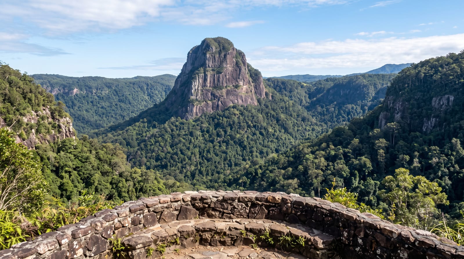
Nightcap National Park sits on the southern rim of the Tweed shield volcano, a caldera formed more than twenty million years ago whose eroded remains dominate the Northern Rivers, and it holds subtropical rainforest that receives the highest rainfall in New South Wales. Minyon Falls drops around a hundred metres over a rhyolite cliff into a rainforest gorge, seen from a lookout at the top or reached by a track to the base. The park was created in April 1983, and its forests, Terania Creek among them, are part of the Gondwana Rainforests of Australia World Heritage area. The park holds rare species including the nightcap oak, discovered only in 2000.
What you'll find
- Minyon Falls - a hundred-metre drop over rhyolite into rainforest.
- The caldera rim - the volcanic escarpment with views to Mount Warning.
- Terania Creek - the rainforest creek valley on the park's access road.
- The rare plants - nightcap oak and other endemic Gondwanan species.
When to go
April to November for drier tracks; this is the wettest part of the state and summer rain is heavy, with tracks and roads closing after storms. The falls are strongest after rain. Leeches are abundant in wet weather.
Good to know
Access roads are partly unsealed and can be closed by landslip; several tracks have been shut for extended periods after major storms. The walk to the base of Minyon Falls is long and steep. Phone coverage is poor.
Nearby
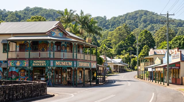
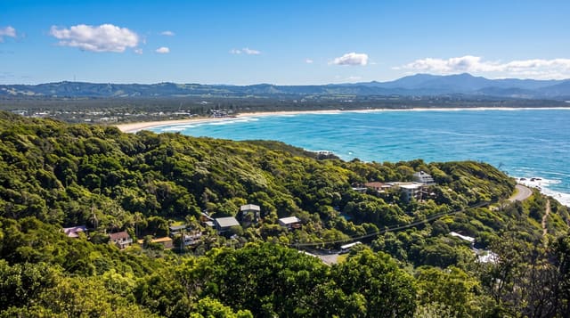
Lismore and Nimbin lie south and west; Byron Bay is east on the coast.
Key facts
Source: Wikidata, item Q1573530, read on 18 October 2026.
What to pack for Nightcap National Park
Chosen from what this place is for. Tap a kit for the full checklist.
- Broken-in walking shoes or boots - Grip and ankle support matter more than looks; never hike in brand-new boots. Find on Amazon
- Binoculars - The single best wildlife tool - even a compact pair transforms a sighting. Find on Amazon
- Strong insect repellent - DEET or picaridin; the jungle is where bites and disease risk are highest. Find on Amazon
- Layers + a waterproof shell - Mountain weather turns fast; a packable rain jacket saves the day. Find on Amazon
Some links on this page are Amazon affiliate links - if you buy through them we may earn a small commission at no extra cost to you.
All packing kitsPlan your trip
Where to start if Nightcap National Park is going on the list.
Booking links on this page are affiliate links - if you book through them we may earn a small commission at no extra cost to you. It never changes what we write about a place.
Opening times, ticket prices and seasonal closures change - check the official source before you go: official site.