Border Ranges National Park
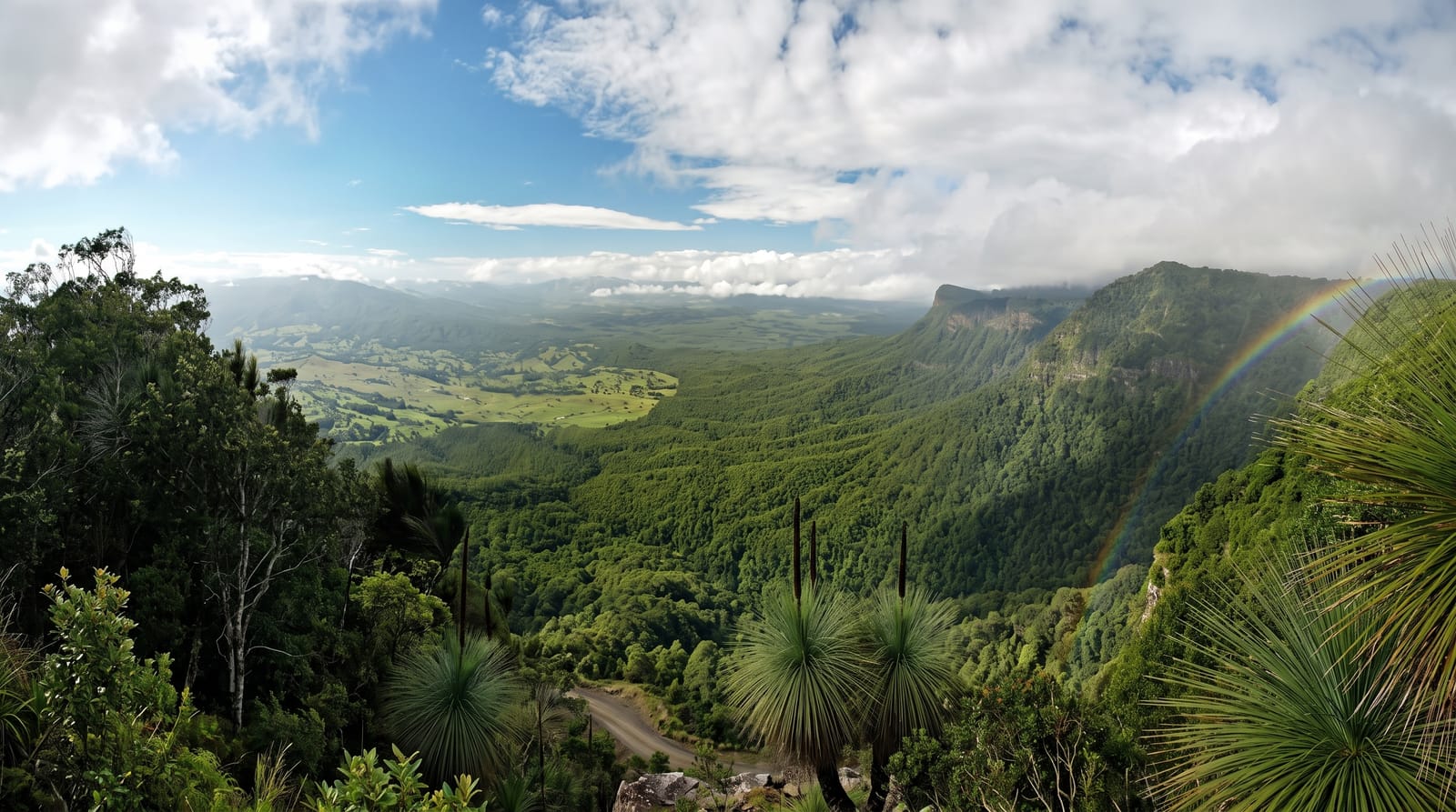
A World Heritage rainforest park on the caldera rim, with a scenic drive looking straight down at Wollumbin.
Updated 14 October 2026
AI illustration
UNESCO World Heritage
Border Ranges runs along the New South Wales side of the Tweed caldera rim, part of the Gondwana Rainforests of Australia World Heritage area, protecting Antarctic beech forest on the tops and subtropical rainforest in the gullies. The Tweed Range Scenic Drive, a sixty-four-kilometre gravel loop, follows the rim past lookouts at Blackbutts, Pinnacle and Antarctic Beech, several of which give the definitive view down into the caldera with Wollumbin standing at its centre, the eroded plug of the original volcano. Short walks lead to Brindle Creek, Selva Falls and stands of ancient beech with trunks up to two thousand years old in their root systems.
Highlights
- The caldera view - lookouts over the Tweed valley with Wollumbin at the centre.
- The Antarctic beech - ancient Gondwanan trees on the high rim.
- The scenic drive - a sixty-four-kilometre gravel loop along the escarpment.
- Brindle Creek - rainforest walks and small falls off the drive.
When to go
April to November for the driest roads; the gravel drive becomes slippery and dangerous in wet weather and is sometimes closed. Cloud frequently covers the rim, particularly in summer. Winter mornings are clear and cold at altitude.
Practical notes
The scenic drive is entirely unsealed, narrow with steep drops and slow, taking several hours; caravans are not permitted. There is no fuel, food or phone coverage. Cloud can hide the caldera view completely.
Nearby
Murwillumbah and Wollumbin lie east; the Queensland border and Lamington are north.
Key facts
Source: Wikidata, item Q893407, read on 18 October 2026.
What to pack for Border Ranges National Park
Chosen from what this place is for. Tap a kit for the full checklist.
- Broken-in walking shoes or boots - Grip and ankle support matter more than looks; never hike in brand-new boots. Find on Amazon
- Binoculars - The single best wildlife tool - even a compact pair transforms a sighting. Find on Amazon
- Strong insect repellent - DEET or picaridin; the jungle is where bites and disease risk are highest. Find on Amazon
- Layers + a waterproof shell - Mountain weather turns fast; a packable rain jacket saves the day. Find on Amazon
Some links on this page are Amazon affiliate links - if you buy through them we may earn a small commission at no extra cost to you.
All packing kitsPlan your trip
Where to start if Border Ranges National Park is going on the list.
Booking links on this page are affiliate links - if you book through them we may earn a small commission at no extra cost to you. It never changes what we write about a place.
Opening times, ticket prices and seasonal closures change - check the official source before you go: official site.