Mount Aragats
Armenia's highest mountain, a four-peaked volcano with an alpine lake at three thousand metres and a fortress on its flank.
Updated 18 October 2026
AI illustration
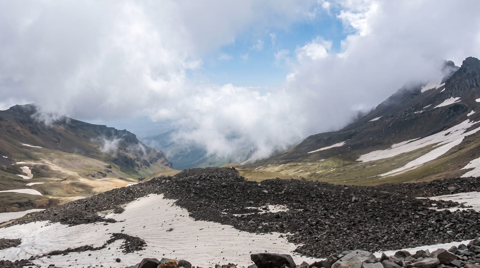
Aragats is an extinct volcano with four summits arranged around a collapsed crater, the highest reaching 4,090 metres, and it is the highest point in Armenia. A road climbs to Lake Kari at around 3,200 metres, which puts the southern summit within a long half-day walk for anyone reasonably fit and acclimatised; the northern summit is a much harder proposition. The lake is a cold alpine tarn that holds ice into early summer, with a cosmic ray research station beside it, a Soviet-era facility still operating. On the lower southern slopes stands Amberd, a seventh-century fortress with an eleventh-century church, in a superb defensive position above two gorges.
History
The volcano was built up in four phases, from perhaps 2.5 million years ago to about 450,000 years ago, and rock paintings of animals and human-like figures in the Kasagh valley may date from the early Holocene, with petroglyphs at Aghavnatun from the 4th to the 1st millennium BC. Armenian tradition links the name to Ara the Handsome and the historian Movses Khorenatsi to Aramaneak, son of Hayk, while legend makes Aragats and Ararat two sisters parted by a quarrel and tells of Gregory the Illuminator praying on the summit by a lamp hung from heaven; the Turkic name Alagöz was common in European and Russian sources until the middle of the 20th century. In 1935 around a thousand people climbed the summit from five directions, and on 28 May 2005 some 250,000 people formed a ring 163 kilometres long around the mountain in a Dance of Unity (Wikipedia, Mount Aragats).
What's there
- Lake Kari - the alpine lake at the road head, with the research station beside it.
- The southern summit - the accessible peak, a long walk from the lake.
- Amberd fortress - a seventh-century fort and church on the lower slopes.
- Alpine wildflowers - the high meadows in July and August.
When to go
July to September is the window for the summits, once snow has cleared; snow lingers around Lake Kari into summer and returns early. The road to the lake is closed for much of the year. Weather changes fast and cloud can arrive within minutes.
Before you go
The summit walk is at altitude and much harder than the modest distance suggests, with loose volcanic rock and no shelter. Weather turns quickly and people get caught out in cloud and hail in August. The last stretch of road to Lake Kari is rough and closed by snow for a long season. There are no facilities at the top beyond the research station.
Nearby
Amberd is on the same road; Yerevan is around an hour and a half south.
Key facts
Source: Wikidata, item Q203568, read on 18 October 2026.
What to pack for Mount Aragats
Chosen from what this place is for. Tap a kit for the full checklist.
- Broken-in walking shoes or boots - Grip and ankle support matter more than looks; never hike in brand-new boots. Find on Amazon
- Warm base layers - Merino or synthetic against the skin - never cotton, which chills when damp. Find on Amazon
- Layers for big temperature swings - Warm sun by day, near-freezing at night, even near the equator. Find on Amazon
- Layers + a waterproof shell - Mountain weather turns fast; a packable rain jacket saves the day. Find on Amazon
Some links on this page are Amazon affiliate links - if you buy through them we may earn a small commission at no extra cost to you.
All packing kitsPlan your trip
Where to start if Mount Aragats is going on the list.
Booking links on this page are affiliate links - if you book through them we may earn a small commission at no extra cost to you. It never changes what we write about a place.
Opening times, ticket prices and seasonal closures change - check the official source before you go: official site.


