Wallings Nature Reserve
A community-run forest reserve around a Victorian reservoir in Antigua's southern hills.
Updated 21 October 2026
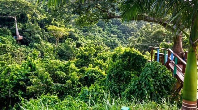
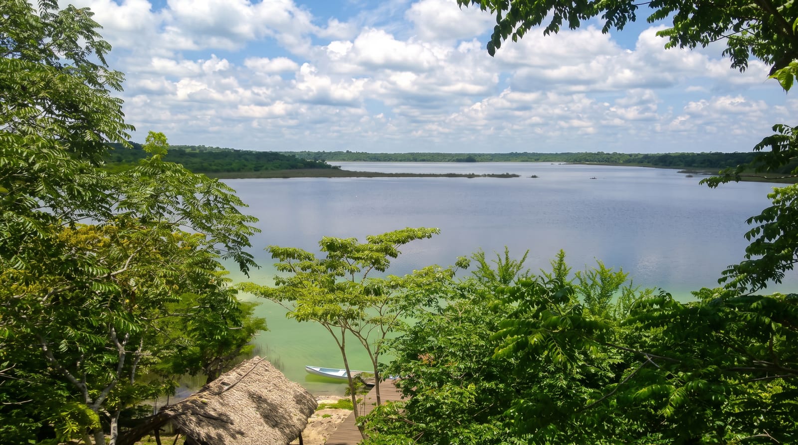
Wallings covers a block of forest in the southern hills around a stone dam and reservoir built in the 1890s to supply water to the island, which was the largest such work in the region at the time and is still standing. The forest around it was replanted to protect the catchment and is now the best surviving woodland on Antigua. Trails run from the dam through the trees and up towards Signal Hill, and the reserve is run by a community group.
Background
Wallings lies in the Shekerley Mountains, in the Leeward Islands moist forests, and is one of seven forest reserves listed under environmental protection rules of 2015, which aim to guard its wildlife and forest cover. Antigua and Barbuda counts it among its important bird areas. In 2018 it was formally established as the country's first national park run by the community, with its head office in John Hughes. Before that, the area served mainly as a source of water: the first dam went up in 1890, and a second followed in 1945.
Source: Wikipedia, "Wallings"
The landscape
- The Victorian dam - the 1890s stone reservoir at the centre of the reserve.
- The forest - the best surviving woodland on the island, planted to protect the catchment.
- The trail network - routes from the dam through the trees and up the hills.
- The community management - the local group running the reserve.
When to go
December to April is the dry season and best for walking. Trails are muddy after rain. Mornings are coolest and best for birds.
Practical notes
Trails are steep and slippery after rain. The reservoir is often low or empty. Facilities are basic and depend on the community group's resources.
Nearby
Boggy Peak is north, and Fig Tree Drive runs past.
Key facts
Source: Wikidata, item Q139961729, read on 18 October 2026.
What to pack for Wallings Nature Reserve
Chosen from what this place is for. Tap a kit for the full checklist.
- Broken-in walking shoes or boots - Grip and ankle support matter more than looks; never hike in brand-new boots. Find on Amazon
- Binoculars - The single best wildlife tool - even a compact pair transforms a sighting. Find on Amazon
- Layers + a waterproof shell - Mountain weather turns fast; a packable rain jacket saves the day. Find on Amazon
- A zoom camera or long lens - Animals rarely come close; reach beats megapixels. Find on Amazon
Some links on this page are Amazon affiliate links - if you buy through them we may earn a small commission at no extra cost to you.
All packing kitsPlan your trip
Where to start if Wallings Nature Reserve is going on the list.
Booking links on this page are affiliate links - if you book through them we may earn a small commission at no extra cost to you. It never changes what we write about a place.
Opening times, ticket prices and seasonal closures change - check the official source before you go: official site.