Nhat Le Beach
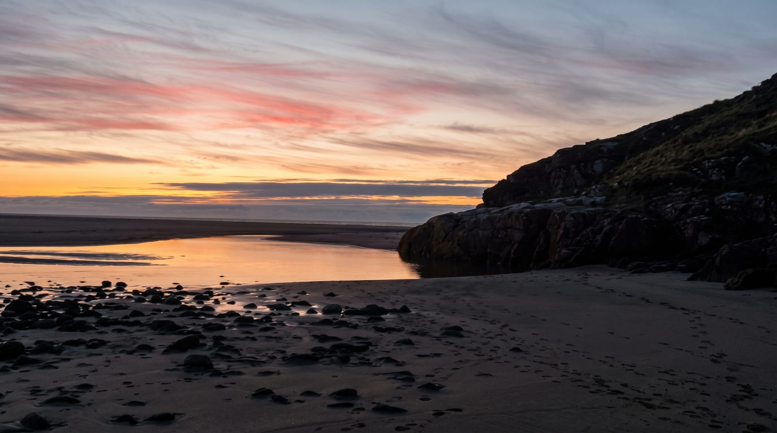
A beach at a river mouth in Dong Hoi, with a sand dune behind it and the caves of Phong Nha inland.
Updated 30 August 2026
Nhat Le runs north from the mouth of the river of the same name at Dong Hoi, a wide beach of pale sand facing east into the South China Sea, with the Bao Ninh sand spit on the far bank reached by a bridge. Behind the spit are dunes, some of them substantial, which are used for sandboarding and quad bikes. Dong Hoi is chiefly the base for Phong Nha-Ke Bang inland - the cave system that includes Son Doong, the largest known cave passage in the world - and most visitors are passing through, which keeps the beach quieter than its equivalents further south.
What to look for
- A wide beach at a river mouth - facing east from Dong Hoi.
- The Bao Ninh spit and its dunes - across the bridge.
- A base for Phong Nha - the cave country inland.
- Quieter than the southern beaches - most visitors are passing through.
When to go
April to August; the monsoon and typhoons run from about September. Half a day.
Before you go
Quang Binh takes typhoons and the coast can be dangerous in the wet season. The city was heavily rebuilt in the twentieth century and has little old fabric. The beach is developing quickly.
Nearby
Phong Nha-Ke Bang is about fifty kilometres inland; Dong Hoi is the base.
Key facts
Source: Wikidata, item Q1960947, read on 18 October 2026.
What to pack for Nhat Le Beach
Chosen from what this place is for. Tap a kit for the full checklist.
- Reef-safe sunscreen - High SPF that will not bleach the coral you are swimming over. Find on Amazon
- Head torch + spare batteries - Hands-free light is essential; caves are truly dark. Find on Amazon
- Loose, light, long clothing - Covering up beats bare skin in the desert - and locals dress this way for a reason. Find on Amazon
- Strong insect repellent - DEET or picaridin; the jungle is where bites and disease risk are highest. Find on Amazon
Some links on this page are Amazon affiliate links - if you buy through them we may earn a small commission at no extra cost to you.
All packing kitsPlan your trip
Where to start if Nhat Le Beach is going on the list.
Booking links on this page are affiliate links - if you book through them we may earn a small commission at no extra cost to you. It never changes what we write about a place.
Opening times, ticket prices and seasonal closures change - check the official source before you go: official site.