Cham Islands
A small granite archipelago off Hoi An with clear water, a coral reserve, two fishing villages and a handful of quiet beaches.
Updated 20 October 2026
AI illustration
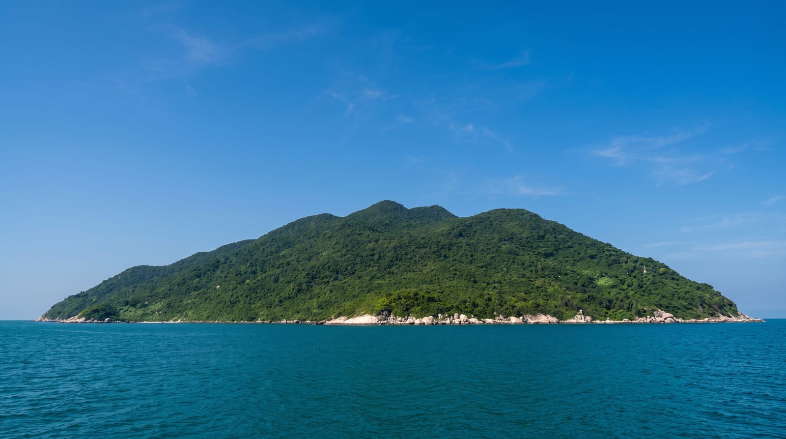
Cu Lao Cham lies about sixteen kilometres off the coast by the mouth of the Thu Bon river, a cluster of granite islands of which only the largest, Hon Lao, has a road, villages and beaches. Boats leave in the morning, usually as part of a day trip that takes in snorkelling over the coral reserve, lunch in Bai Lang village and an afternoon on Bai Chong or Bai Ong. Onshore there is a small market, an old well, a temple and a road that climbs to a lookout over the strait. The islands and much of the water around them are a marine protected area within a biosphere reserve, so fishing and collection are limited in parts of the bay.
What you'll find
- Snorkelling grounds - the shallow coral areas inside the marine protected zone.
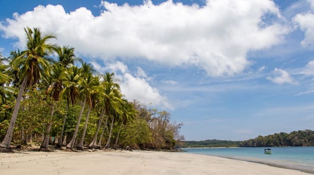
- Bai Chong and Bai Ong - the two main beaches, with clear water and shade trees.
- Bai Lang - the larger of the two fishing villages, with its market, temple and old well.
- The strait crossing - the speedboat run out from the mainland past the river mouth.
When to go
March to August is the only reliable season; from roughly October to February rough seas suspend crossings for days at a time. Go on a weekday, since Vietnamese weekend trips fill the beaches quickly. Boats leave early morning and return mid afternoon, and overnight stays have to be arranged in advance with a homestay on the island.
Before you go
Day trips are heavily packaged: fixed timings, large groups and a rushed half hour of snorkelling at a crowded spot. Reef quality is patchy and visibility varies a lot. The beaches fill with sunbeds and lunch tables in high season. Speedboat crossings are bumpy and unpleasant in swell, and trips are cancelled outright when the sea is rough, sometimes at very short notice.
Nearby
Hoi An and its river mouth are the departure point, with Da Nang about an hour north.
Key facts
Source: Wikidata, item Q386184, read on 18 October 2026.
What to pack for Cham Islands
Chosen from what this place is for. Tap a kit for the full checklist.
- Travel rod + reel - A packable multi-piece rod fits in a case and covers most holiday fishing. Find on Amazon
- Reef-safe sunscreen - High SPF that will not bleach the coral you are swimming over. Find on Amazon
- Your own mask + snorkel - A well-fitting mask is the single biggest comfort upgrade underwater. Find on Amazon
- Modest clothing - Shoulders and knees covered - the single most common requirement. Find on Amazon
Some links on this page are Amazon affiliate links - if you buy through them we may earn a small commission at no extra cost to you.
All packing kitsPlan your trip
Where to start if Cham Islands is going on the list.
Booking links on this page are affiliate links - if you book through them we may earn a small commission at no extra cost to you. It never changes what we write about a place.
Opening times, ticket prices and seasonal closures change - check the official source before you go: official site.