Palo Duro Canyon
The eighth-largest canyon system in the country, cut into the flat Texas Panhandle where nothing suggests it is there.
Updated 20 October 2026
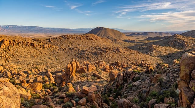
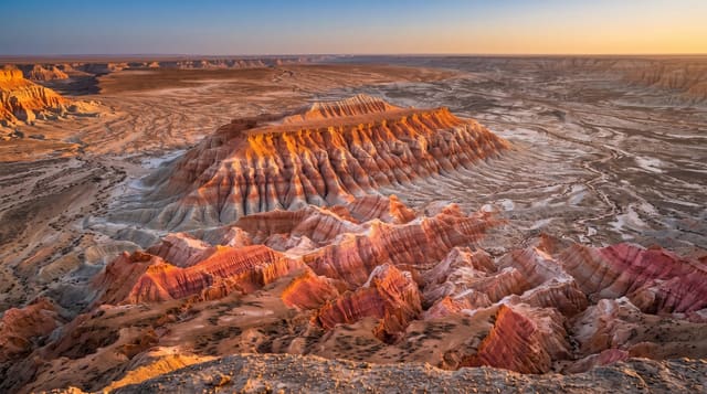
The canyon runs about 72 kilometres long and up to thirty-two wide, with a depth of around 240 metres, cut by the Prairie Dog Town Fork of the Red River into the Llano Estacado - and the approach is the striking part, because the plain is dead flat and the canyon does not appear until you are at the rim. The rock is banded red, orange, yellow and white through four geological layers. The Lighthouse, a hoodoo of sandstone over soft shale, is the park's emblem and reached by a loop trail of about ten kilometres. In 1874 an army expedition under Ranald S. Mackenzie captured about 1,200 Comanche and Kiowa horses here and slaughtered them in nearby Tule Canyon, after which the two tribes left the area.
What you'll find
- A canyon invisible until the rim - cut into flat plain.
- Banded rock in four layers - red, orange, yellow and white.
- The Lighthouse hoodoo - on a ten-kilometre loop trail.
- The 1874 campaign site - where the horse herd was destroyed.
When to go
March to May and September to November; summer exceeds forty degrees. A full day.
Before you go
Summer heat in the canyon is dangerous - the floor is hotter than the rim. There is no shade on the Lighthouse trail. Flash floods close the road across the river. Winter can bring ice on the descent.
Nearby
Amarillo is north; Caprock Canyons is south-east.
Key facts
Source: Wikidata, item Q1369399, read on 18 October 2026.
What to pack for Palo Duro Canyon
Chosen from what this place is for. Tap a kit for the full checklist.
- Broken-in walking shoes or boots - Grip and ankle support matter more than looks; never hike in brand-new boots. Find on Amazon
- Shelter suited to the place - Tent, tarp or hut booking - match it to the terrain and rules. Find on Amazon
- Layers + a waterproof shell - Mountain weather turns fast; a packable rain jacket saves the day. Find on Amazon
- A warm sleeping bag + mat - Rated a little colder than you expect the nights to be. Find on Amazon
Some links on this page are Amazon affiliate links - if you buy through them we may earn a small commission at no extra cost to you.
All packing kitsPlan your trip
Where to start if Palo Duro Canyon is going on the list.
Booking links on this page are affiliate links - if you book through them we may earn a small commission at no extra cost to you. It never changes what we write about a place.
Opening times, ticket prices and seasonal closures change - check the official source before you go: official site.