Cape Flattery
The north-western tip of the contiguous United States, on Makah land, reached by a boardwalk to sea-stack cliffs.
Updated 30 August 2026
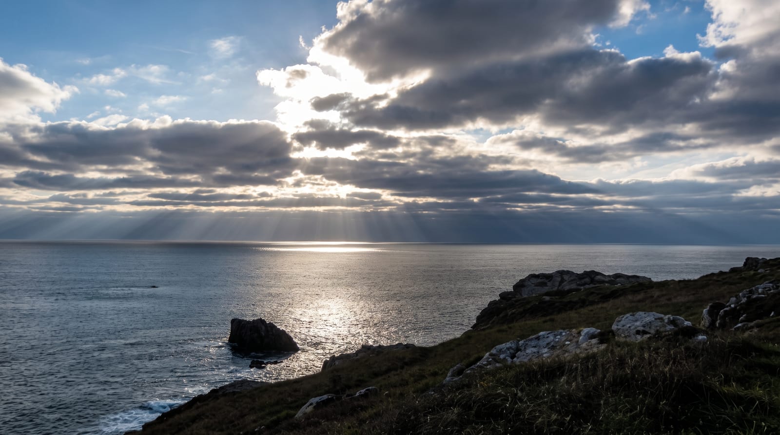
This is the north-westernmost point of the lower forty-eight states, on the Makah Reservation, and a permit bought in Neah Bay is required to visit - the tribe manages access and the money maintains the trail. A boardwalk of about 1.2 kilometres runs through coastal forest to platforms on the cliff edge, looking out over sea caves, stacks and Tatoosh Island with its lighthouse offshore. The Makah have whaled and fished from here for millennia. The Makah Cultural and Research Center in Neah Bay holds material from Ozette, a village buried by a mudslide around 1750 and excavated in the 1970s, which preserved wooden and woven objects that normally rot - it is among the most important archaeological collections on the coast.
Highlights
- The north-western tip of the lower 48 - on Makah land.
- A 1.2-kilometre boardwalk - through forest to cliff platforms.
- Sea caves, stacks and Tatoosh Island - off the point.
- The Ozette collection - wooden objects preserved by a mudslide.
When to go
May to September; the coast is wet the rest of the year. Half a day.
Things to know
A Makah permit is required and must be bought in Neah Bay - there is no online option at the trailhead. The drive out is long and winding. Fog obscures the view frequently. The tribe closed the reservation entirely at times, so check.
Nearby
Neah Bay is east; Olympic National Park is south.
Key facts
Source: Wikidata, item Q1034424, read on 18 October 2026.
What to pack for Cape Flattery
Chosen from what this place is for. Tap a kit for the full checklist.
- Broken-in walking shoes or boots - Grip and ankle support matter more than looks; never hike in brand-new boots. Find on Amazon
- Head torch + spare batteries - Hands-free light is essential; caves are truly dark. Find on Amazon
- Layers + a waterproof shell - Mountain weather turns fast; a packable rain jacket saves the day. Find on Amazon
- Grippy closed shoes - Cave floors are wet, muddy and slick with formations. Find on Amazon
Some links on this page are Amazon affiliate links - if you buy through them we may earn a small commission at no extra cost to you.
All packing kitsPlan your trip
Where to start if Cape Flattery is going on the list.
Booking links on this page are affiliate links - if you book through them we may earn a small commission at no extra cost to you. It never changes what we write about a place.
Opening times, ticket prices and seasonal closures change - check the official source before you go: official site.