Rathlin Island
Northern Ireland's only inhabited island, with an upside-down lighthouse whose light sits at the bottom of the tower.
Updated 4 September 2026
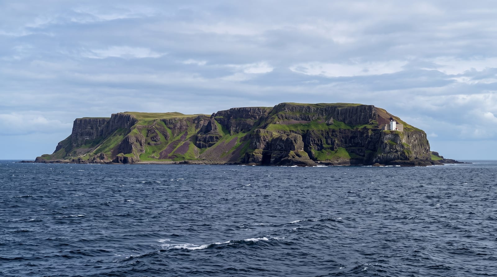
AI illustration
Rathlin lies about ten kilometres off Ballycastle and is the only inhabited offshore island in Northern Ireland, with a population of around one hundred and fifty. The West Light is built into the cliff face with its lamp at the base of the structure rather than the top, an arrangement adopted because the light needed to sit below the fog that gathers at cliff height; it is one of very few upside-down lighthouses anywhere. A seabird centre at the light looks onto stacks holding tens of thousands of guillemots, razorbills and puffins, with a viewing platform almost level with the ledges. The island also holds a population of golden hares, a colour variant of the Irish hare found in unusual numbers here, and the Rathlin Sound between island and mainland has strong tidal races.
The landscape
- The upside-down lighthouse - a light built at the base of the tower in the cliff.
- The seabird stacks - tens of thousands of auks viewed almost at eye level.
- The golden hares - a pale colour form of Irish hare unusually common here.
- The tidal races - strong currents running in the sound to the mainland.
When to go
April to August for the seabird colony, with puffins present until late July; the birds leave and the centre closes after that. Ferries run year-round but cancel in swell and reduce in winter.
Before you go
Ferry cancellations happen at short notice and can strand day visitors overnight. The West Light is about six kilometres from the harbour, so a bus, bike or long walk is needed. Facilities are limited to a handful of businesses.
Nearby
Ballycastle is the ferry port; Carrick-a-Rede and the Causeway lie west along the coast.
Key facts
Source: Wikidata, item Q1136111, read on 18 October 2026.
What to pack for Rathlin Island
Chosen from what this place is for. Tap a kit for the full checklist.
- Reef-safe sunscreen - High SPF that will not bleach the coral you are swimming over. Find on Amazon
- Padded shorts - The one thing that makes a full day in the saddle bearable. Find on Amazon
- Shelter suited to the place - Tent, tarp or hut booking - match it to the terrain and rules. Find on Amazon
- Quick-dry towel - A microfibre towel packs small and dries in minutes. Find on Amazon
Some links on this page are Amazon affiliate links - if you buy through them we may earn a small commission at no extra cost to you.
All packing kitsPlan your trip
Where to start if Rathlin Island is going on the list.
Booking links on this page are affiliate links - if you book through them we may earn a small commission at no extra cost to you. It never changes what we write about a place.
Opening times, ticket prices and seasonal closures change - check the official source before you go: official site.