Lake Mutanda
An island-studded lake below the Virunga volcanoes near Kisoro, crossed by dugout canoe.
Updated 21 October 2026
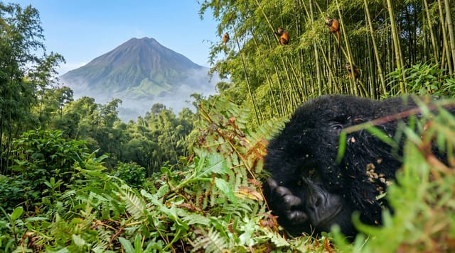
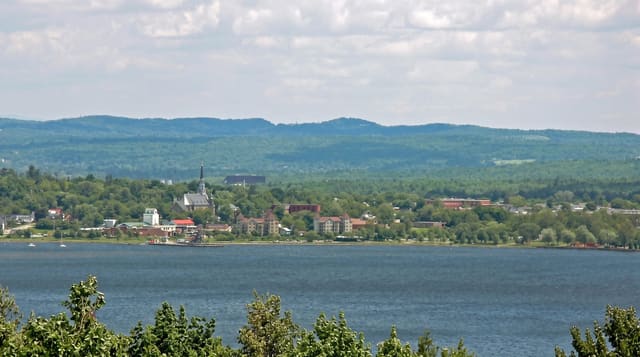
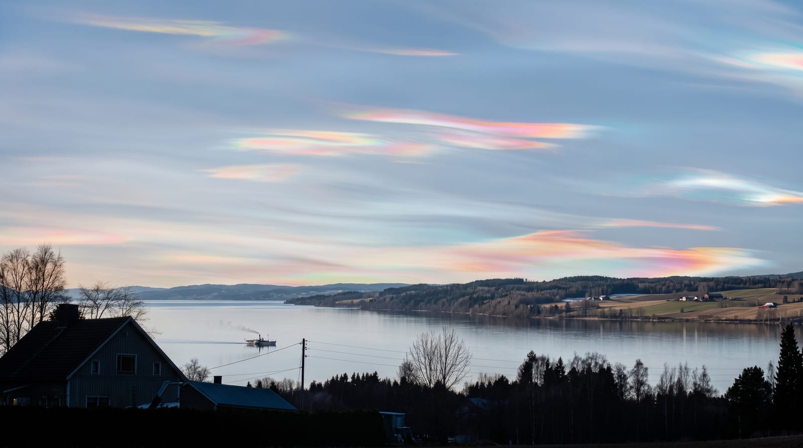
Lake Mutanda lies north of Kisoro in the southwestern corner of Uganda, a lake of irregular shape scattered with small islands and set against the wall of the Virunga volcanoes, with Muhabura, Gahinga and Sabyinyo standing on the southern horizon. Dugout canoes cross it, and it is used as a route between Kisoro and the southern edge of Bwindi. It lies at about 1,800 metres, some 20 kilometres north of Kisoro, and drains through the Rutshuru river north to Lake Edward.
The landscape
- The Virunga backdrop - the volcanoes standing along the southern horizon.
- The islands - small islands scattered across the lake, some inhabited.
- The dugout canoes - the traditional boats used to cross the water.
- The canoe route - the paddle between Kisoro and the southern side of Bwindi.
When to go
June to September and December to February are the drier windows. Mornings are clearest for the volcano views before cloud builds. It is cool at this altitude, especially at night.
Things to know
Canoe crossings can be long and are cancelled in wind. Accommodation is a handful of lodges on the shore. The roads in the southwest are rough and journeys are slow.
Nearby
Kisoro is south, and Mgahinga is beyond it.
Key facts
Source: Wikidata, item Q6477049, read on 18 October 2026.
What to pack for Lake Mutanda
Chosen from what this place is for. Tap a kit for the full checklist.
- Reef-safe sunscreen - High SPF that will not bleach the coral you are swimming over. Find on Amazon
- Quick-dry clothing - Board shorts or synthetics that shrug off spray and dry fast. Find on Amazon
- Quick-dry towel - A microfibre towel packs small and dries in minutes. Find on Amazon
- Secure water shoes or reef boots - Grip on slippery launches and protection on rocky shores. Find on Amazon
Some links on this page are Amazon affiliate links - if you buy through them we may earn a small commission at no extra cost to you.
All packing kitsPlan your trip
Where to start if Lake Mutanda is going on the list.
Booking links on this page are affiliate links - if you book through them we may earn a small commission at no extra cost to you. It never changes what we write about a place.
Opening times, ticket prices and seasonal closures change - check the official source before you go: official site.