East Caicos
The largest uninhabited island in the chain, with caves, a ruined sisal plantation, wild cattle and no way to reach it easily.
Updated 4 September 2026
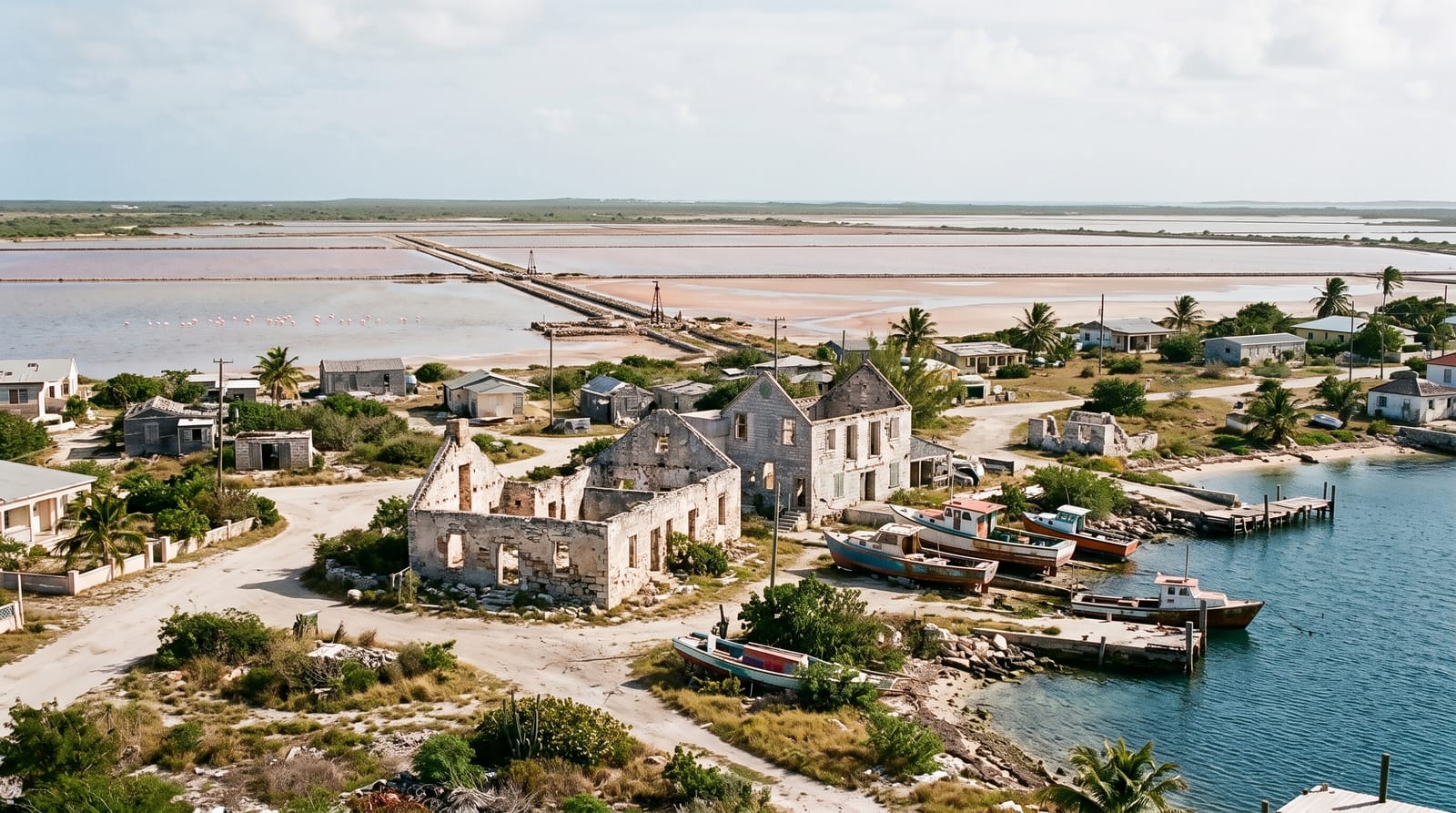
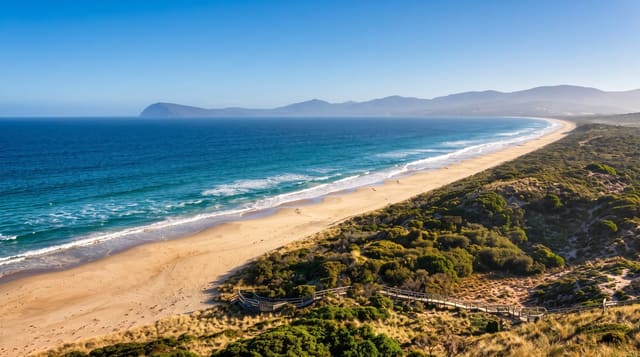
East Caicos is about ninety square kilometres and nobody lives on it. It had a sisal plantation and a cattle operation in the nineteenth century with a rail line running to a landing, and the ruins of Jacksonville are still in the bush along with the rail bed. Flamingo Hill at forty-eight metres is the highest point in the territory. There are cave systems with Lucayan remains, mangrove creeks, a long north-coast beach and a population of feral cattle descended from the plantation stock. Access is by chartered boat and there is nothing at all when you arrive.
The landscape
- Jacksonville - the ruined sisal settlement and its rail bed.
- Flamingo Hill - the highest point in the territory, at 48 metres.
- The caves - systems with Lucayan material inside.
- Feral cattle - descended from the nineteenth-century herd.
When to go
November to May is the calmest for the crossing. Access is by chartered boat from Middle or South Caicos and must be arranged; there is no scheduled service and no reason for boats to go otherwise.
Practical notes
There is nothing here: no water, no shelter, no track, no phone signal and no help. The bush is dense and thorny, mosquitoes are severe, and navigating inland without a guide is a genuinely bad idea. Charters are expensive and weather-dependent. Development proposals for the island surface periodically and have never come to anything.
Nearby
Middle Caicos is west across a channel; South Caicos is southeast.
Key facts
Source: Wikidata, item Q921616, read on 18 October 2026.
What to pack for East Caicos
Chosen from what this place is for. Tap a kit for the full checklist.
- Reef-safe sunscreen - High SPF that will not bleach the coral you are swimming over. Find on Amazon
- Head torch + spare batteries - Hands-free light is essential; caves are truly dark. Find on Amazon
- Quick-dry towel - A microfibre towel packs small and dries in minutes. Find on Amazon
- Grippy closed shoes - Cave floors are wet, muddy and slick with formations. Find on Amazon
Some links on this page are Amazon affiliate links - if you buy through them we may earn a small commission at no extra cost to you.
All packing kitsPlan your trip
Where to start if East Caicos is going on the list.
Booking links on this page are affiliate links - if you book through them we may earn a small commission at no extra cost to you. It never changes what we write about a place.
Opening times, ticket prices and seasonal closures change - check the official source before you go: official site.