Bruny Island
An island of two halves joined by a narrow isthmus, known for white wallabies, sea cliffs and a dense food trail.
Updated 18 October 2026
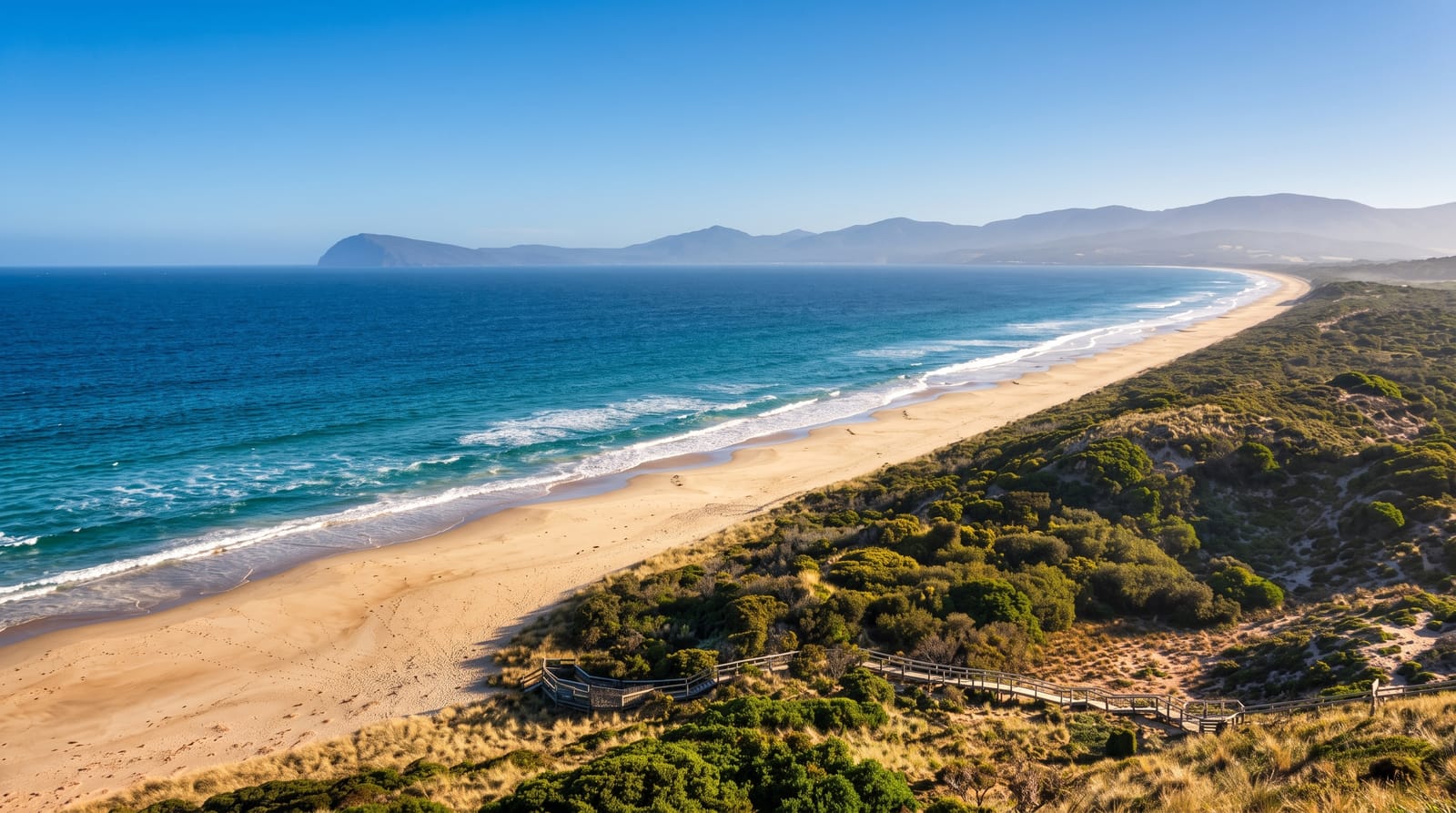
AI illustration
Bruny is two islands connected by a sandy isthmus a few hundred metres wide, with a lookout and boardwalk at the Neck giving a view along both. The southern half holds South Bruny National Park, with the 1836 Cape Bruny lighthouse, sea cliffs and beaches, while the northern half is farmland and small settlements. The island has become a food destination, with cheese, oysters, honey, whisky and berries produced within a short drive. Its wildlife includes a population of white Bennett's wallabies, a rare colour form that survives here without predation pressure, and little penguins that come ashore at the Neck at dusk.
History
Aboriginal Tasmanians lived on the island, whose Aboriginal name is lunawanna-allonah, and Abel Tasman sighted it in November 1642 without realising it was an island; on 11 March 1773 Tobias Furneaux anchored for four days in Adventure Bay, named after his ship, and found it was one. James Cook stayed in the bay in January 1777, and William Bligh in 1788 and again in 1792, while the French explorer Bruni d'Entrecasteaux explored the channel in 1792 and gave the island his name, spelled Bruni until 1918. Whalers worked its coast in the first half of the 19th century, from the British Alexander in 1804 onwards (Wikipedia, Bruny Island).
What you'll find
- The Neck - the narrow isthmus with a boardwalk lookout over both halves.
- The white wallabies - a rare white colour form of Bennett's wallaby.
- Cape Bruny Lighthouse - the 1836 tower at the southern end.
- The food producers - cheese, oysters, honey and whisky along the road.
When to go
November to April for the mildest weather and penguins ashore at the Neck; winter is cold and wet with shorter ferry timetables. Summer holidays and weekends fill the ferry, which can mean long waits without a booking.
Practical notes
Ferry queues in peak season can run to hours; bookings are advisable. Roads on the island are partly unsealed. Penguin viewing at the Neck requires red light only, and vehicle strikes on wildlife are a serious local problem.
Nearby
Kettering is the ferry port; the Huon Valley lies west across the channel.
Key facts
Source: Wikidata, item Q25605, read on 18 October 2026.
What to pack for Bruny Island
Chosen from what this place is for. Tap a kit for the full checklist.
- Broken-in walking shoes or boots - Grip and ankle support matter more than looks; never hike in brand-new boots. Find on Amazon
- Reef-safe sunscreen - High SPF that will not bleach the coral you are swimming over. Find on Amazon
- Binoculars - The single best wildlife tool - even a compact pair transforms a sighting. Find on Amazon
- Layers + a waterproof shell - Mountain weather turns fast; a packable rain jacket saves the day. Find on Amazon
Some links on this page are Amazon affiliate links - if you buy through them we may earn a small commission at no extra cost to you.
All packing kitsPlan your trip
Where to start if Bruny Island is going on the list.
Booking links on this page are affiliate links - if you book through them we may earn a small commission at no extra cost to you. It never changes what we write about a place.
Opening times, ticket prices and seasonal closures change - check the official source before you go: official site.