Garabogazköl
A hypersaline gulf of the Caspian, filled through a narrow strait and used for salt extraction.
Updated 16 October 2026
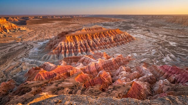
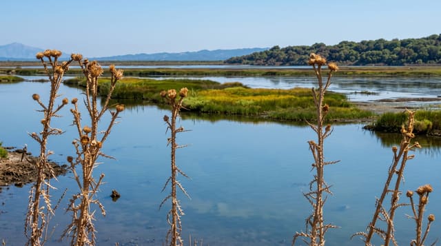
Garabogazköl is a shallow gulf on the eastern side of the Caspian, joined to it by a strait only a few hundred metres wide through which water runs in a constant one-way current and then evaporates, leaving the gulf several times saltier than the sea. A dam closed the strait in 1980 and the gulf dried almost entirely before the barrier was removed in the 1990s. Sodium sulphate is extracted commercially from the deposits.
Background
The lagoon's surface area varies but is typically about 18,000 square kilometres, and its average depth is 10 meters. A narrow, rocky ridge separates it from the Caspian. Salinity averages about 35%, where the Caspian Sea has 1.2% and the oceans of the world 3% to 4%. Local people gathered salt from deposits on the south shore from the 1920s, and the industry later shifted northwest to Garabogaz, about 50 kilometres north of the channel, where a modern plant was built between 1963 and 1973. The lagoon dried out completely in 1984. Konstantin Paustovsky wrote about it in his 1932 book Kara-Bugaz, filmed in 1935 by Aleksandr Razumny.
Source: Wikipedia, "Garabogazköl"
What you'll find
- The strait - the narrow channel with its constant one-way inflow.
- The hypersaline water - a gulf several times saltier than the Caspian.
- The salt deposits - the mineral flats worked for sodium sulphate.
- The dam history - the 1980 closure that dried the gulf and its later removal.
When to go
April to May and September to October are the tolerable months. Summer heat and glare off the salt are severe. Winds off the Caspian are constant.
Things to know
There is no infrastructure of any kind around the gulf. Summer conditions are harsh with no shade or water. Industrial extraction dominates parts of the shore.
Nearby
Turkmenbashi is south, and Yangykala is southeast.
Key facts
Source: Wikidata, item Q239379, read on 18 October 2026.
What to pack for Garabogazköl
Chosen from what this place is for. Tap a kit for the full checklist.
- Broken-in walking shoes or boots - Grip and ankle support matter more than looks; never hike in brand-new boots. Find on Amazon
- Reef-safe sunscreen - High SPF that will not bleach the coral you are swimming over. Find on Amazon
- Layers + a waterproof shell - Mountain weather turns fast; a packable rain jacket saves the day. Find on Amazon
- Quick-dry towel - A microfibre towel packs small and dries in minutes. Find on Amazon
Some links on this page are Amazon affiliate links - if you buy through them we may earn a small commission at no extra cost to you.
All packing kitsPlan your trip
Where to start if Garabogazköl is going on the list.
Booking links on this page are affiliate links - if you book through them we may earn a small commission at no extra cost to you. It never changes what we write about a place.
Opening times, ticket prices and seasonal closures change - check the official source before you go: official site.