Mount Erciyes
A dormant volcano close to 3,900 metres above the Kayseri plain, carrying one of the country's larger ski areas on its northern slopes.
Updated 4 September 2026

AI illustration
Erciyes is the volcano that shaped much of Cappadocia, standing alone above the Kayseri plain and visible from a long way off in clear weather. Its ash and lava are the parent rock of the soft tuff that people later carved into further west. The mountain holds snow for much of the year and carries a large ski area on its northern side, developed heavily over the past fifteen years, with lifts running from around two thousand metres upward. In summer the same lifts serve walkers and mountain bikers, and the summit becomes a scramble on loose volcanic rock that wants an early start and, in most seasons, an axe and crampons near the top.
The landscape
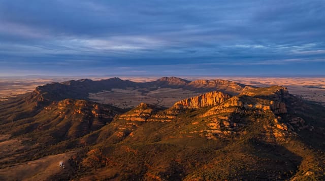
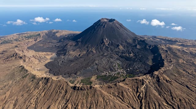
- The cone from the plain - a solitary snow-capped volcano above the city.
- The ski area - lifts and pistes across the northern slopes.
- The summit scramble - loose volcanic rock and permanent snow patches.
- Old lava ground - flows and crater walls around the base.
When to go
Ski season usually runs from December into March or April depending on snow, with January and February the most reliable and midweek by far the quietest. Summer walking runs June to September. Weather turns fast on this mountain in any season, and the summit is often in cloud by late morning even on a clear day.
What to expect
The resort is modern and functional rather than characterful, and the base is a cluster of large hotels with little around them. Snow cover varies a lot from year to year. The summit is not a walk: it involves exposed scrambling and snow, and people underestimate it every season. Winds on the upper mountain are severe.
Nearby
Kayseri, the Soganli valleys and the wider Cappadocia region.
Key facts
Source: Wikidata, item Q126804, read on 18 October 2026.
What to pack for Mount Erciyes
Chosen from what this place is for. Tap a kit for the full checklist.
- Broken-in walking shoes or boots - Grip and ankle support matter more than looks; never hike in brand-new boots. Find on Amazon
- Warm base layers - Merino or synthetic against the skin - never cotton, which chills when damp. Find on Amazon
- Layers for big temperature swings - Warm sun by day, near-freezing at night, even near the equator. Find on Amazon
- Layers + a waterproof shell - Mountain weather turns fast; a packable rain jacket saves the day. Find on Amazon
Some links on this page are Amazon affiliate links - if you buy through them we may earn a small commission at no extra cost to you.
All packing kitsPlan your trip
Where to start if Mount Erciyes is going on the list.
Booking links on this page are affiliate links - if you book through them we may earn a small commission at no extra cost to you. It never changes what we write about a place.
Opening times, ticket prices and seasonal closures change - check the official source before you go: official site.