Karagöl-Sahara National Park
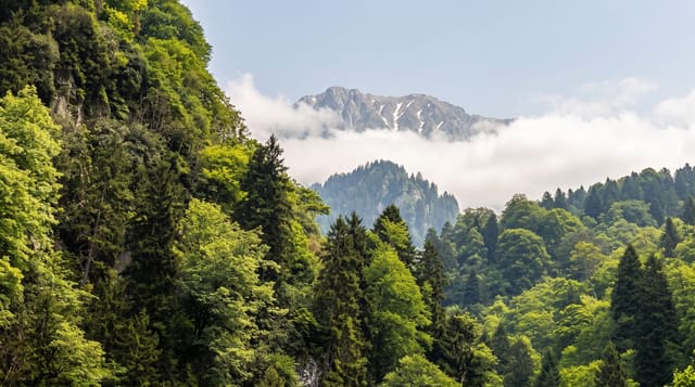
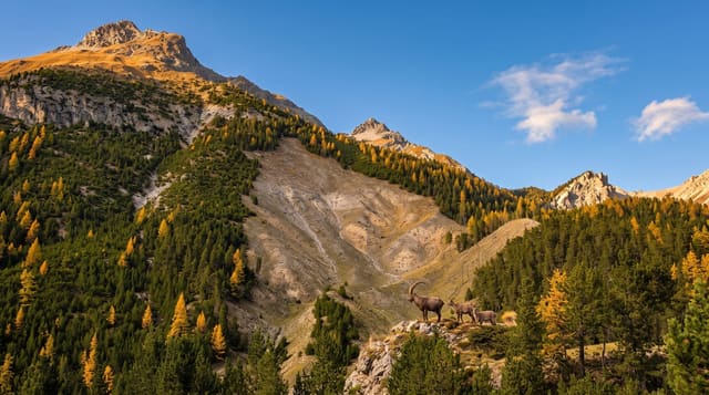
A dark lake ringed by spruce and a highland meadow of wildflowers above Şavşat, in the wettest forest in Artvin.
Updated 21 October 2026
The park, set up on 31 August 1994 over some 3,250 hectares at an average height of 1,800 metres, has two separate parts, Karagöl 45 kilometres and Sahara 17 kilometres from Şavşat. Karagöl - black lake - is a small landslide lake at around fifteen hundred metres, enclosed by dense spruce and fir that comes right down to the water and gives the lake its colour, with a walkway round part of the shore, bungalows and a campsite. Sahara, despite the name, is a highland meadow at around two thousand metres: an open basin of grass that fills with wildflowers in June and July, ringed by forest, used as a yayla and known for its colour. Both sit in the wettest forest belt of Artvin, where the eastern Black Sea rainfall meets the Caucasus foothills and produces old-growth spruce, fir and beech with an understory of rhododendron. Bears and wolves are present. Şavşat district also has the Cehennem Deresi canyon and a scatter of Georgian church ruins from the medieval kingdom that held this valley. Roads are mountain roads and winter closes much of it.
The landscape
- Karagöl - the dark lake enclosed by spruce.
- Sahara meadow - the high basin and its wildflowers.
- The old-growth forest - spruce and fir on the slopes.
- The yayla use - summer grazing on the upper meadow.
When to go
June to September; the flowers on Sahara peak in June and July. Roads are snowbound from late autumn to late spring.
Before you go
Rain and mist are frequent - this is among the wettest parts of Turkey. Facilities are bungalows and a campsite at Karagöl and nothing on Sahara. Mountain roads are slow.
Nearby
Şavşat's Georgian churches are in the same district; Borçka Karagöl is north and Artvin town west.
Key facts
Source: Wikidata, item Q6367923, read on 18 October 2026.
What to pack for Karagöl-Sahara National Park
Chosen from what this place is for. Tap a kit for the full checklist.
- Broken-in walking shoes or boots - Grip and ankle support matter more than looks; never hike in brand-new boots. Find on Amazon
- Binoculars - The single best wildlife tool - even a compact pair transforms a sighting. Find on Amazon
- Loose, light, long clothing - Covering up beats bare skin in the desert - and locals dress this way for a reason. Find on Amazon
- Shelter suited to the place - Tent, tarp or hut booking - match it to the terrain and rules. Find on Amazon
Some links on this page are Amazon affiliate links - if you buy through them we may earn a small commission at no extra cost to you.
All packing kitsPlan your trip
Where to start if Karagöl-Sahara National Park is going on the list.
Booking links on this page are affiliate links - if you book through them we may earn a small commission at no extra cost to you. It never changes what we write about a place.
Opening times, ticket prices and seasonal closures change - check the official source before you go: official site.