The Kackar Mountains
A wet, glaciated range above the eastern Black Sea coast, with summer pastures, small glaciers and a summit close to 3,900 metres.
Updated 4 September 2026
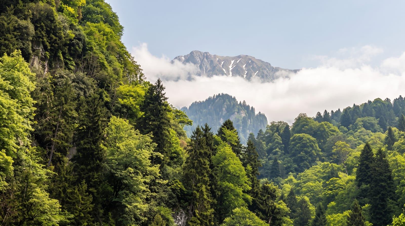
AI illustration
The Kackar range runs parallel to the eastern Black Sea coast, close enough to catch the moisture coming off the water, which is why the northern slopes are forest and fog while the southern side is dry and open. The high point is a little under three thousand nine hundred and forty metres, and small glaciers survive in north-facing cirques, among the southernmost in this part of the world. Between forest and rock lie the yaylas: summer settlements of wooden houses where families still bring cattle up for the season. Trails link them across passes, and the crossing from the wet Black Sea side to the Coruh valley is the classic multi-day walk here.
The landscape
- The yaylas - wooden summer villages at the top of the forest.
- The glaciers - small ice bodies held in north-facing cirques.
- Rhododendron slopes - dense flowering scrub above the treeline.
- The pass crossings - trails linking the wet north to the dry south.
When to go
The walking season is short: snow blocks the high passes until late June and returns in October. July and August are the reliable months, though the northern side is cloudy and wet in any of them. Guides and mules are arranged in Ayder or Barhal. Yayla houses are occupied only through the summer, and empty after.
Before you go
Rain and fog can shut the views for days at a time and the ground stays wet underfoot. Waymarking is inconsistent, and mist makes route-finding genuinely difficult without a guide or a GPS track. Accommodation in the yaylas is basic and cold. Road access is long, winding and slow from every direction, and landslides close it after heavy rain.
Nearby
Ayder, the Firtina valley with its stone bridges, and the Coruh valley.
Key facts
Source: Wikidata, item Q975280, read on 18 October 2026.
What to pack for The Kackar Mountains
Chosen from what this place is for. Tap a kit for the full checklist.
- Broken-in walking shoes or boots - Grip and ankle support matter more than looks; never hike in brand-new boots. Find on Amazon
- Warm base layers - Merino or synthetic against the skin - never cotton, which chills when damp. Find on Amazon
- Layers for big temperature swings - Warm sun by day, near-freezing at night, even near the equator. Find on Amazon
- Layers + a waterproof shell - Mountain weather turns fast; a packable rain jacket saves the day. Find on Amazon
Some links on this page are Amazon affiliate links - if you buy through them we may earn a small commission at no extra cost to you.
All packing kitsPlan your trip
Where to start if The Kackar Mountains is going on the list.
Booking links on this page are affiliate links - if you book through them we may earn a small commission at no extra cost to you. It never changes what we write about a place.
Opening times, ticket prices and seasonal closures change - check the official source before you go: official site.