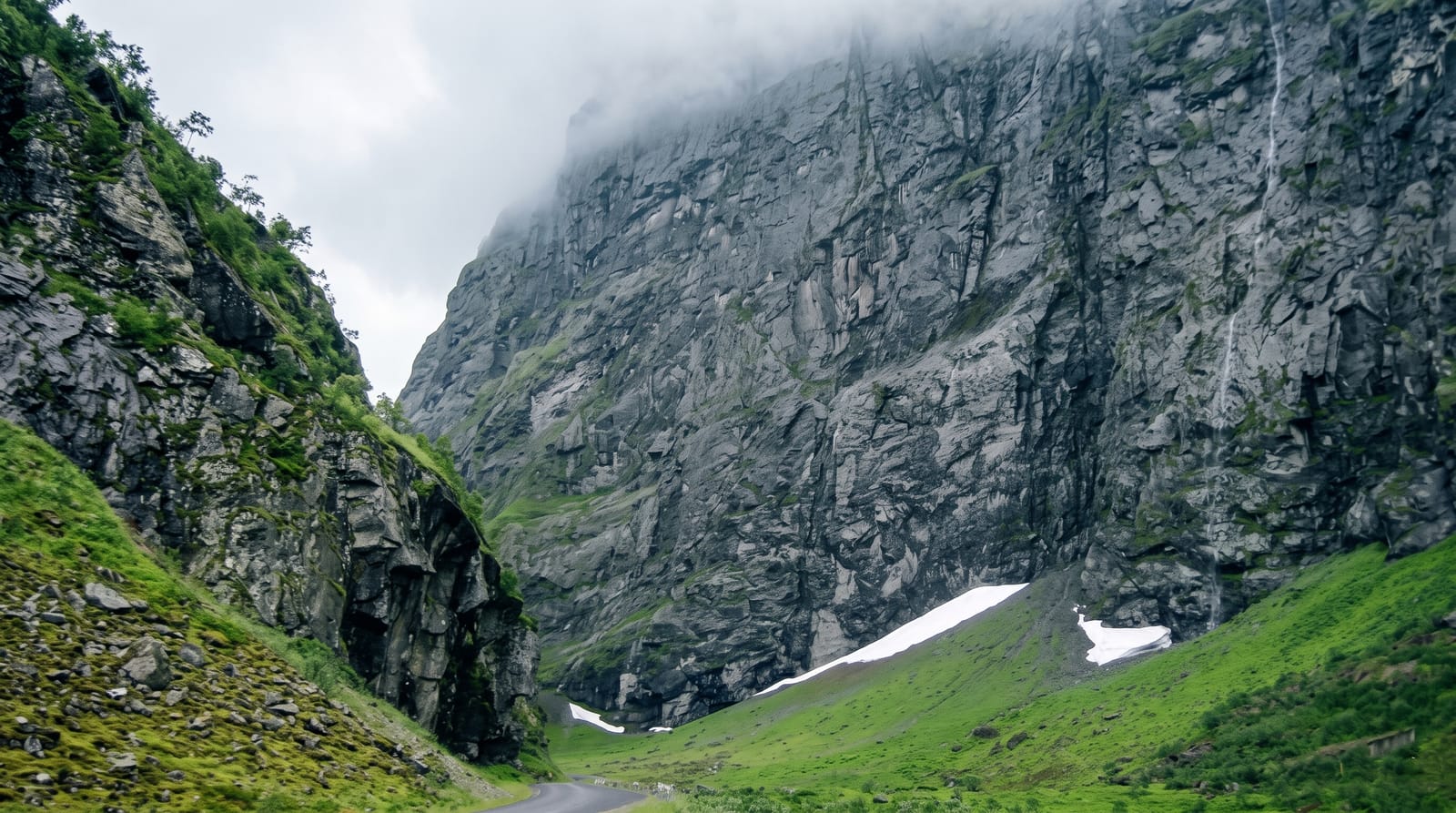
Fırtına Valley
The storm valley of Çamlıhemşin - a fast green river under humpback Ottoman bridges, running down out of the Kaçkar mountains.
Updated 25 August 2026
The Fırtına - storm - comes down from the Kaçkar range through a steep valley of dense forest, and the road up it from the coast is the spine of the eastern Black Sea's high country. What defines the valley visually are the bridges: single-arch humpbacked stone spans, Ottoman and later, built where the gorge narrows, several still in use and photographed constantly. Along the road are Zilkale castle, the wooden mansions of the Hemşin villages, tea gardens on platforms over the water, and turnings up to the yayla plateaus - Pokut, Sal, Elevit, Ayder - where families spend the summer. The river is rated for whitewater rafting and operators run it from Çamlıhemşin. Rain is the constant: this is the wettest part of Turkey by a wide margin, the forest is temperate rainforest as a result, and mist in the valley is the normal condition rather than the exception.
What's there
- The stone bridges - single-arch humpback spans over the river.
- The rainforest - dense wet valley forest on both walls.
- The Hemşin villages - wooden houses along the road.
- The rafting - whitewater runs from Çamlıhemşin.
When to go
June to September; the upper valley and yaylas are snowbound outside that window. Rain is likely on any day in any month - plan around it rather than for it.
Good to know
It rains constantly and mist often hides the valley. The road is narrow, winding and busy with minibuses in season. Facilities are village pensions and simple restaurants.
Nearby
Zilkale is up the valley; Pokut plateau, Palovit falls and Ayder are beyond it.
What to pack for Fırtına Valley
Chosen from what this place is for. Tap a kit for the full checklist.
- Broken-in walking shoes or boots - Grip and ankle support matter more than looks; never hike in brand-new boots. Find on Amazon
- Quick-dry clothing - Board shorts or synthetics that shrug off spray and dry fast. Find on Amazon
- Strong insect repellent - DEET or picaridin; the jungle is where bites and disease risk are highest. Find on Amazon
- Layers + a waterproof shell - Mountain weather turns fast; a packable rain jacket saves the day. Find on Amazon
Some links on this page are Amazon affiliate links - if you buy through them we may earn a small commission at no extra cost to you.
All packing kitsPlan your trip
Where to start if Fırtına Valley is going on the list.
Booking links on this page are affiliate links - if you book through them we may earn a small commission at no extra cost to you. It never changes what we write about a place.
Opening times, ticket prices and seasonal closures change - check the official source before you go: official site.