Phu Phan National Park
A forested sandstone range in Sakon Nakhon with natural rock bridges, cliff viewpoints and waterfalls.
Updated 19 October 2026
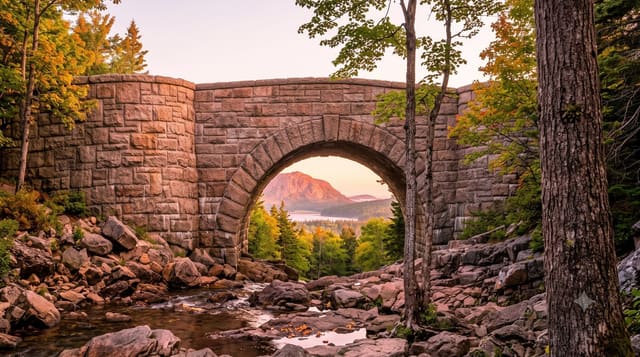
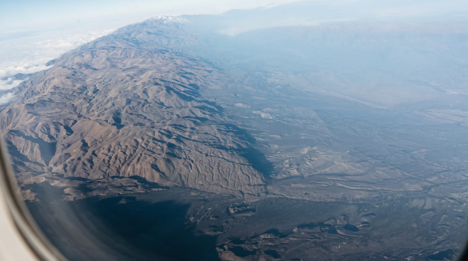
Phu Phan covers about 660 square kilometres of the sandstone range that separates the Sakon Nakhon basin from the rest of Isan. Its distinctive features are erosional: Saphan Hin, a natural stone bridge formed where softer rock weathered from beneath a harder slab, and Pha Nang Merng, a cliff viewpoint over the plain, along with waterfalls and rock formations through the forest. A royal palace, Phu Phan Ratchaniwet, was built at the foot of the range partly as part of the state's engagement with the region. Facilities are basic and the park sees few foreign visitors.
History
The range's isolation has long made it a hiding place. During the Second World War Seri Thai resistance fighters stored weapons in a cave still known as Tham Seri Thai (Wikipedia, Phu Phan National Park).
What's there
- Saphan Hin - the natural stone bridge left by differential weathering.
- Pha Nang Merng - the cliff viewpoint over the Sakon Nakhon plain.
- The forest range - sandstone hills dividing the basin from the rest of Isan.
- The waterfalls - running from July to November.
When to go
November to February for the weather; waterfalls run from July into November. Trails are muddy in the rains.
Before you go
Basic facilities and limited English interpretation. The rock formations are modest rather than spectacular. Few foreign visitors and little tourist infrastructure. Foreign entry fees are higher than Thai.
Nearby
Sakon Nakhon and Nong Han lake are north-east; Kalasin is south-west.
Key facts
Source: Wikidata, item Q1968970, read on 18 October 2026.
What to pack for Phu Phan National Park
Chosen from what this place is for. Tap a kit for the full checklist.
- Broken-in walking shoes or boots - Grip and ankle support matter more than looks; never hike in brand-new boots. Find on Amazon
- Head torch + spare batteries - Hands-free light is essential; caves are truly dark. Find on Amazon
- Binoculars - The single best wildlife tool - even a compact pair transforms a sighting. Find on Amazon
- Layers + a waterproof shell - Mountain weather turns fast; a packable rain jacket saves the day. Find on Amazon
Some links on this page are Amazon affiliate links - if you buy through them we may earn a small commission at no extra cost to you.
All packing kitsPlan your trip
Where to start if Phu Phan National Park is going on the list.
Booking links on this page are affiliate links - if you book through them we may earn a small commission at no extra cost to you. It never changes what we write about a place.
Opening times, ticket prices and seasonal closures change - check the official source before you go: official site.