Doi Phu Kha National Park
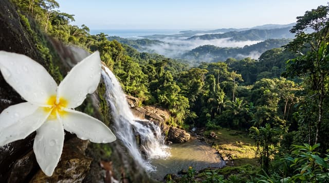
A Nan mountain road through cloud forest, with a tree that flowers pink in February and grows almost nowhere else.
Updated 21 October 2026
Doi Phu Kha, a national park since June 1999 and the largest in northern Thailand, covers about 1,700 square kilometres of steep forested mountain in Nan province near the Lao border, where the Nan and Pua rivers rise, rising to around 1,980 metres. Its emblem is chomphu phu kha, Bretschneidera sinensis, a rare tree that flowers pink for a few weeks in February and is found in Thailand almost only here - the road through the park has stands of it, and the flowering brings Thai visitors specifically. The rest of the year the draw is the road itself, Route 1256, which climbs through cloud forest with viewpoints over ridge after ridge, and continues to Bo Kluea, a village where salt has been boiled from inland brine wells for centuries. There are trails, waterfalls, caves and camping. Nan is remote and the roads are steep and severely winding, which makes the province quiet compared with Chiang Mai but also means long slow driving.
What's there
- Chomphu phu kha - the rare pink-flowering tree, in bloom for weeks in February.
- Route 1256 - the mountain road through cloud forest with ridge viewpoints.
- The camping and trails - simple facilities on the high ground.
- Bo Kluea - the inland salt wells at the far end of the road.
When to go
February for the blossom, which is short and shifts year to year; November to February for the clearest weather. The road is unpleasant in heavy rain and landslips occur.
What to expect
Steep, severely winding roads causing motion sickness, and long drives to reach Nan at all. The blossom window is a few weeks and unpredictable. Facilities are basic. Foreign entry fees are higher than Thai.
Nearby
Bo Kluea salt wells are east along the road; Pua and Nan town are west.
Key facts
Source: Wikidata, item Q1322836, read on 18 October 2026.
What to pack for Doi Phu Kha National Park
Chosen from what this place is for. Tap a kit for the full checklist.
- Broken-in walking shoes or boots - Grip and ankle support matter more than looks; never hike in brand-new boots. Find on Amazon
- Head torch + spare batteries - Hands-free light is essential; caves are truly dark. Find on Amazon
- Binoculars - The single best wildlife tool - even a compact pair transforms a sighting. Find on Amazon
- Shelter suited to the place - Tent, tarp or hut booking - match it to the terrain and rules. Find on Amazon
Some links on this page are Amazon affiliate links - if you buy through them we may earn a small commission at no extra cost to you.
All packing kitsPlan your trip
Where to start if Doi Phu Kha National Park is going on the list.
Booking links on this page are affiliate links - if you book through them we may earn a small commission at no extra cost to you. It never changes what we write about a place.
Opening times, ticket prices and seasonal closures change - check the official source before you go: official site.