Mount Hanang
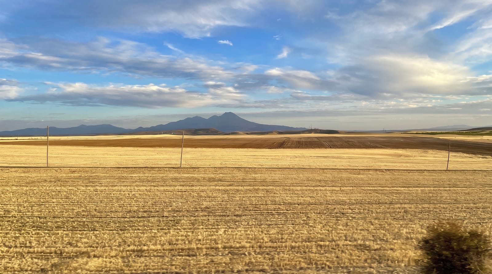
An extinct volcano of about three thousand four hundred metres rising alone from the plain, climbed in a day.
Updated 16 October 2026
Hanang stands alone above the plain south of Babati, an extinct volcano reaching about three thousand four hundred metres, which makes it one of the higher peaks in the country and one that can be climbed in a single long day without technical equipment. The route from Katesh climbs through farmland and then heath to a crater rim with a view over the Rift, Lake Balangida and the plains. Barabaig herders live around the mountain and their land is crossed on the way up.
Background
Hanang rises to 3,420 m in Hanang District of Manyara Region. Counting the three peaks of Kilimanjaro as one mountain, it ranks fourth in Tanzania after Kilimanjaro, Mount Meru and Mount Loolmalasin. The main path starts in Katesh, and the climb fits into one day of about 10 hours, though many climbers spend a night in a tented camp and reach the top on day two. The Mount Hanang Nature Forest Reserve covers 58.66 km² of the higher slopes. Between 2000 and 2700 meters, evergreen montane forest grows on the wetter east and south, with drier forest, bushland and grassland to the west and north. Higher up come ericaceous heathland and high-altitude grassland.
Source: Wikipedia, "Mount Hanang"
What's there
- The summit crater - the rim at about three thousand four hundred metres.
- The single-day climb - a non-technical ascent and descent within one long day.
- The Barabaig country - herding land crossed on the lower slopes.
- Lake Balangida - the soda lake below the mountain's western side.
When to go
June to October is the dry season and the climbing window. Starts are before dawn to reach the top before cloud. The rains make the upper slopes slippery and dangerous.
What to expect
The climb is long and steep, around twelve hours up and down, and altitude affects some people. Guides are compulsory and arranged informally in Katesh. There is no infrastructure on the mountain at all.
Nearby
Babati is north, and Dodoma is southeast.
Key facts
Source: Wikidata, item Q8535884, read on 18 October 2026.
What to pack for Mount Hanang
Chosen from what this place is for. Tap a kit for the full checklist.
- Broken-in walking shoes or boots - Grip and ankle support matter more than looks; never hike in brand-new boots. Find on Amazon
- Layers + a waterproof shell - Mountain weather turns fast; a packable rain jacket saves the day. Find on Amazon
- Daypack with rain cover - 20-30 litres holds water, snacks, layers and a first-aid kit. Find on Amazon
- Offline maps + a power bank - Download the trail before you lose signal; carry backup charge. Find on Amazon
Some links on this page are Amazon affiliate links - if you buy through them we may earn a small commission at no extra cost to you.
All packing kitsPlan your trip
Where to start if Mount Hanang is going on the list.
Booking links on this page are affiliate links - if you book through them we may earn a small commission at no extra cost to you. It never changes what we write about a place.
Opening times, ticket prices and seasonal closures change - check the official source before you go: official site.