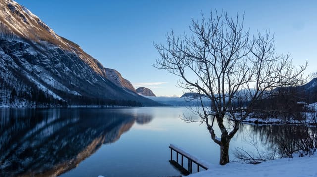
Lake Sarez
A lake formed by an earthquake landslide in 1911 that dammed a Pamir valley, inside the Tajik National Park.
Updated 27 September 2026
UNESCO World Heritage
In February 1911 an earthquake brought a mountainside down into the Murghab valley, burying the village of Usoi and damming the river behind a natural barrier about five hundred and sixty metres high - the tallest natural dam in the world - and the water backed up into a lake around seventy-five kilometres long. Lake Sarez sits at about three thousand two hundred and sixty metres inside the Tajik National Park, which is inscribed by UNESCO. Access needs permits and an organised trip; there is no road and no settlement.
Highlights
- The Usoi dam - a natural barrier about 560 metres high left by the 1911 landslide.
- The lake - around seventy-five kilometres of water held behind it at 3260 metres.
- The buried village - Usoi, the settlement destroyed by the original landslide.
- The Pamir setting - high mountain country inside the inscribed national park.
When to go
July to September is the only practical window. Permits take time and must be arranged well in advance. Weather at altitude changes fast.
Practical notes
This is an expedition, not a visit: permits, a guide and several days of travel are required and independent access is not possible. There is no infrastructure of any kind. The stability of the natural dam is a long-standing subject of study and monitoring.
Nearby
Bartang Valley is west, and Murghab is east.
Key facts
Source: Wikidata, item Q1474460, read on 18 October 2026.
What to pack for Lake Sarez
Chosen from what this place is for. Tap a kit for the full checklist.
- Reef-safe sunscreen - High SPF that will not bleach the coral you are swimming over. Find on Amazon
- Layers for big temperature swings - Warm sun by day, near-freezing at night, even near the equator. Find on Amazon
- Shelter suited to the place - Tent, tarp or hut booking - match it to the terrain and rules. Find on Amazon
- Quick-dry towel - A microfibre towel packs small and dries in minutes. Find on Amazon
Some links on this page are Amazon affiliate links - if you buy through them we may earn a small commission at no extra cost to you.
All packing kitsPlan your trip
Where to start if Lake Sarez is going on the list.
Booking links on this page are affiliate links - if you book through them we may earn a small commission at no extra cost to you. It never changes what we write about a place.
Opening times, ticket prices and seasonal closures change - check the official source before you go: official site.