Stockholm Archipelago
Some thirty thousand islands, islets and skerries scattered east of Stockholm - the great summer playground of the capital, reached by ferry.
Updated 16 October 2026
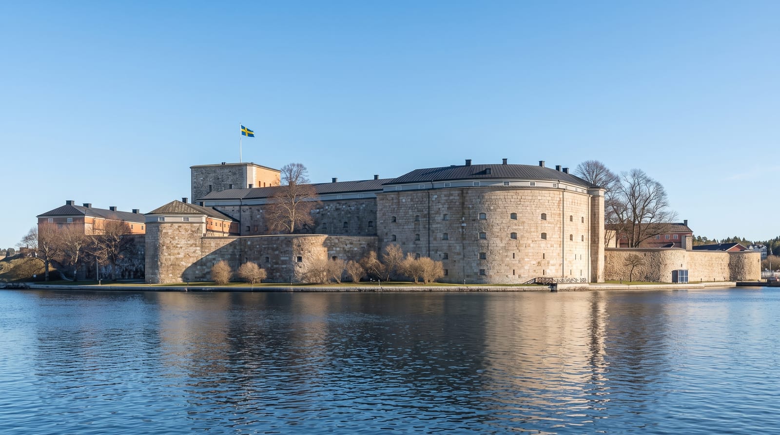
AI illustration
East of Stockholm the land dissolves into some thirty thousand islands, from wooded inner isles with red summer cottages to bare outer skerries facing the open Baltic. Laced by ferries from the city, it is the great summer escape of the capital, a world of swimming, sailing and island-hopping.
Background
Sweden's largest archipelago, and the second largest in the Baltic Sea, it stretches roughly 60 kilometres east from Stockholm and spans approximately 1,700 km², with approximately 530 km² of land. Part of it has been a Ramsar site since 12 June 1989. The water is far less salty than the ocean, about 0.6-0.7 per cent in the outer parts, and the land is lifting by about three millimeters a year. In 1719 an estimated 2,900 people lived here, mostly fishermen, and a combined life of farming and fishing lasted until around 1950-1955. The islands now hold around 10,000 year-round residences, plus 50,000 holiday homes. Ytterby on Resarö gave its name to four elements: erbium, terbium, ytterbium and yttrium.
Source: Wikipedia, "Stockholm Archipelago"
What you'll find
- Vaxholm - the archipelago gateway town with its fortress, close to the city.
- Grinda and Finnhamn - classic wooded islands for swimming and walking.
- Sandhamn - the sailing island at the outer edge, all yachts and open sea.
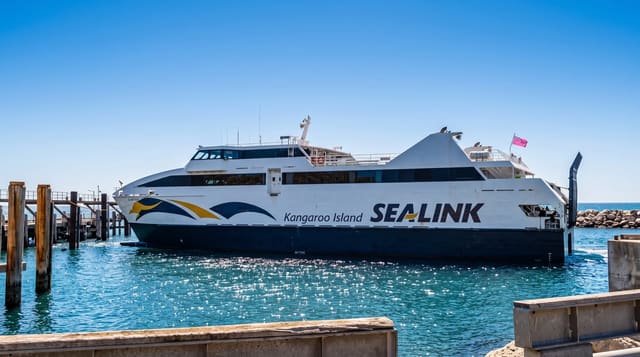
- The ferry journey - the archipelago boats threading between the islands.
When to go
High summer, when the ferries run full timetables and the islands come alive; spring and autumn are quiet and many services wind down. It is very much a summer world.
What to expect
It is enormous and spread out, so seeing it means choosing islands and ferry times rather than covering it all. Outside summer, boats thin and islands close down. The inner islands are easy day trips; the outer skerries take real time.
Nearby
Central Stockholm is the hub; the university town of Uppsala lies inland.
Key facts
Source: Wikidata, item Q764547, read on 18 October 2026.
What to pack for Stockholm Archipelago
Chosen from what this place is for. Tap a kit for the full checklist.
- Travel rod + reel - A packable multi-piece rod fits in a case and covers most holiday fishing. Find on Amazon
- Reef-safe sunscreen - High SPF that will not bleach the coral you are swimming over. Find on Amazon
- A small tackle selection - Hooks, weights, line and a few lures or flies suited to local waters. Find on Amazon
- Quick-dry towel - A microfibre towel packs small and dries in minutes. Find on Amazon
Some links on this page are Amazon affiliate links - if you buy through them we may earn a small commission at no extra cost to you.
All packing kitsPlan your trip
Where to start if Stockholm Archipelago is going on the list.
Booking links on this page are affiliate links - if you book through them we may earn a small commission at no extra cost to you. It never changes what we write about a place.
Opening times, ticket prices and seasonal closures change - check the official source before you go: official site.