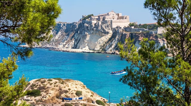
Sankt Anna Archipelago
Around six thousand low granite islands and skerries off the Ostergotland coast, most of them uninhabited.
Updated 12 October 2026
Sankt Anna is a dense archipelago - the count usually given is around six thousand islands, islets and skerries - running out from the Ostergotland coast into the Baltic, and almost all of it is uninhabited rock, juniper and pine with narrow sounds between. That density makes it good kayaking water: you can move for days through sheltered channels without crossing open sea, and the right of public access allows camping on most of it. Passenger boats run to a few of the larger inhabited islands from Tyrislot in summer. Harstena, further south, is the best known settlement. The land is still rising, so new skerries appear on a long timescale.
The landscape
- Around six thousand islands and skerries - mostly uninhabited.
- Narrow sheltered channels - kayaking water for days.
- Juniper, pine and bare rock - the standard island cover.
- A few inhabited islands - served by summer boats.
When to go
June to August. A full day or several.
What to expect
Getting into the archipelago needs a boat or kayak - the shore view shows little. Boats run a short season. Weather can trap small craft. Facilities are almost nonexistent once out among the islands.
Nearby
Harstena is south; Soderkoping and the Gota canal are inland.
What to pack for Sankt Anna Archipelago
Chosen from what this place is for. Tap a kit for the full checklist.
- Broken-in walking shoes or boots - Grip and ankle support matter more than looks; never hike in brand-new boots. Find on Amazon
- Quick-dry clothing - Board shorts or synthetics that shrug off spray and dry fast. Find on Amazon
- Shelter suited to the place - Tent, tarp or hut booking - match it to the terrain and rules. Find on Amazon
- Layers + a waterproof shell - Mountain weather turns fast; a packable rain jacket saves the day. Find on Amazon
Some links on this page are Amazon affiliate links - if you buy through them we may earn a small commission at no extra cost to you.
All packing kitsPlan your trip
Where to start if Sankt Anna Archipelago is going on the list.
Booking links on this page are affiliate links - if you book through them we may earn a small commission at no extra cost to you. It never changes what we write about a place.
Opening times, ticket prices and seasonal closures change - check the official source before you go: official site.