Brokopondo Reservoir
A vast dam lake with drowned forest still standing out of the water.
Updated 3 September 2026
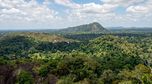
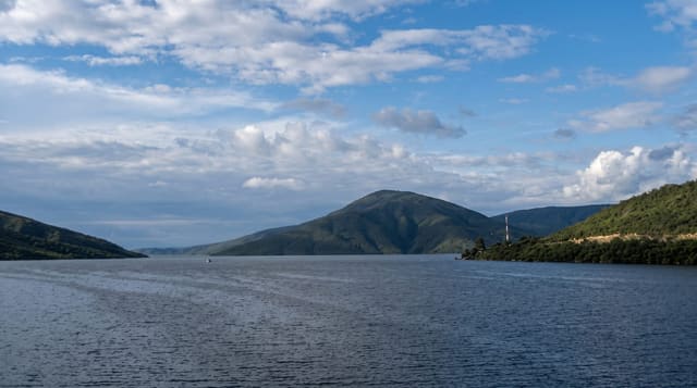
The Afobaka dam closed the Suriname river in 1964 to power the bauxite smelters and flooded around fifteen hundred square kilometres of rainforest behind it, one of the largest reservoirs in the world by area, and much of the drowned canopy is still standing: grey trunks breaking the surface across huge stretches of water. Villages were resettled when it filled. Boats work between the trunks.
What's there
- The drowned forest - grey trunks standing out of the water across the lake.
- The scale - around fifteen hundred square kilometres of flooded ground.
- The dam - the Afobaka barrage that closed the river in 1964.
- The islands - former hilltops standing out of the reservoir.
When to go
The dry seasons, February to April and August to November, are best. Water level rises and falls with the rains and changes how much timber shows. Storms build over the lake in the wet.
Good to know
It is a hydro reservoir and reads as eerie rather than scenic. The dead timber makes boating hazardous outside marked channels. Facilities around the shore are limited.
Nearby
Brownsberg is west, and Paramaribo is north.
Key facts
Source: Wikidata, item Q926100, read on 18 October 2026.
What to pack for Brokopondo Reservoir
Chosen from what this place is for. Tap a kit for the full checklist.
- Broken-in walking shoes or boots - Grip and ankle support matter more than looks; never hike in brand-new boots. Find on Amazon
- Strong insect repellent - DEET or picaridin; the jungle is where bites and disease risk are highest. Find on Amazon
- Layers + a waterproof shell - Mountain weather turns fast; a packable rain jacket saves the day. Find on Amazon
- Long, light, quick-dry clothing - Covers skin from insects and sun without cooking you in the humidity. Find on Amazon
Some links on this page are Amazon affiliate links - if you buy through them we may earn a small commission at no extra cost to you.
All packing kitsPlan your trip
Where to start if Brokopondo Reservoir is going on the list.
Booking links on this page are affiliate links - if you book through them we may earn a small commission at no extra cost to you. It never changes what we write about a place.
Opening times, ticket prices and seasonal closures change - check the official source before you go: official site.