Sai Island
A large Nile island with layers of occupation from the Kerma period to the Ottomans.
Updated 3 September 2026
Sai is one of the largest islands in the Sudanese Nile and has been occupied more or less continuously for thousands of years, so the layers run deep: a Kerma-period town, an Egyptian New Kingdom fortified settlement with a temple, Christian churches, and an Ottoman fort built over the earlier walls. Villages farm the island today. Excavation has run there for decades and continues in seasons. The island is around twelve kilometres long, which is enough that the settlements on it are spread out and moving between the sites takes most of a day.
What to look for
- The Egyptian town - the New Kingdom fortified settlement and its temple.
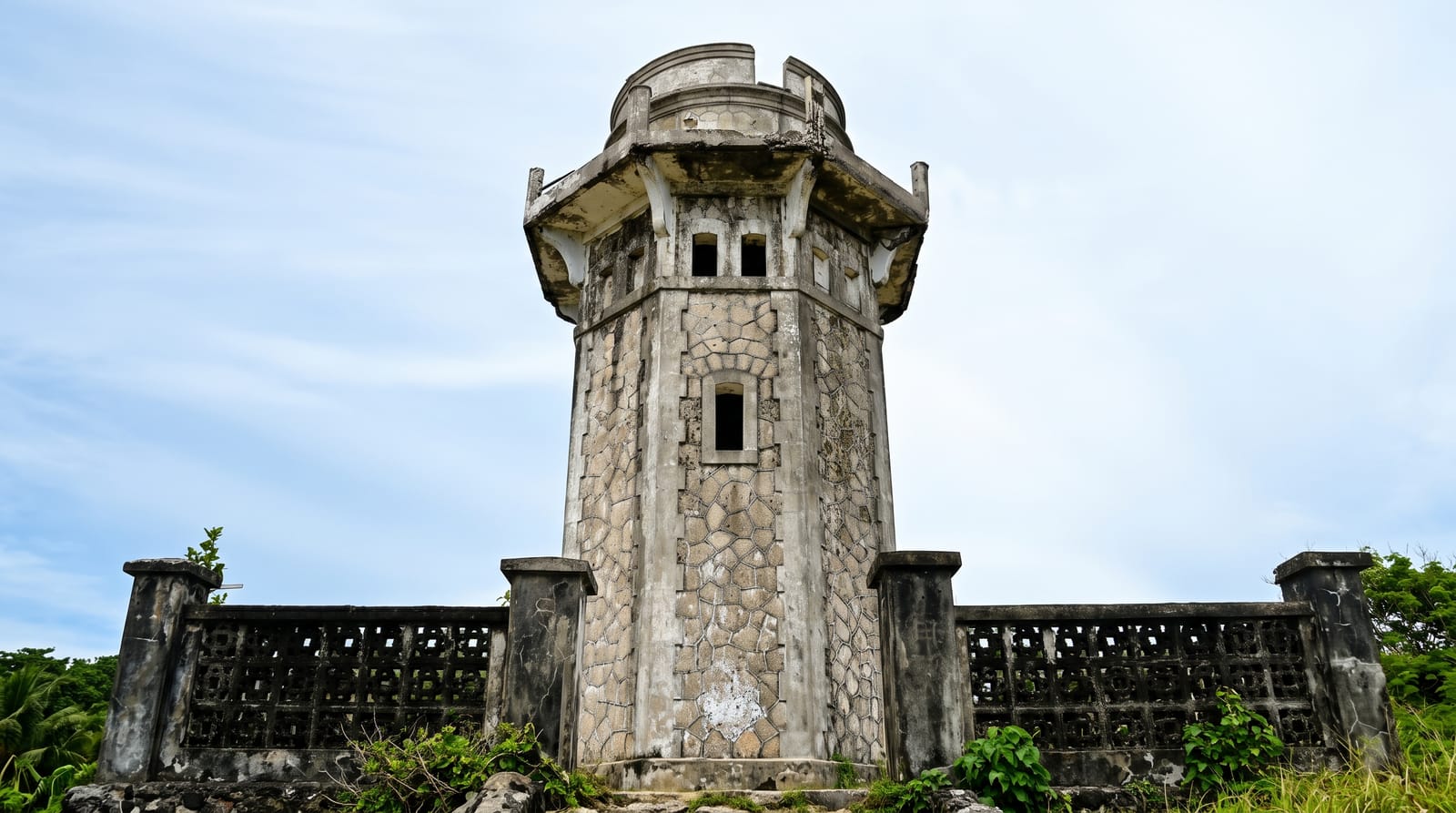
- The Ottoman fort - the later fortification built over the earlier walls.
- The Kerma layer - the settlement from before the Egyptian occupation.
- The living villages - the farming communities on the island today.
When to go
November to February is the cool season. March to May is extremely hot. Ferries run on local arrangement.
Good to know
The archaeological areas are largely unexcavated or backfilled and take reading. There is no interpretation on the ground. Ferry crossings are informal arrangements.
Nearby
Abri is on the west bank, and Soleb is south.
Key facts
Source: Wikidata, item Q49677083, read on 18 October 2026.
What to pack for Sai Island
Chosen from what this place is for. Tap a kit for the full checklist.
- Reef-safe sunscreen - High SPF that will not bleach the coral you are swimming over. Find on Amazon
- Modest clothing - Shoulders and knees covered - the single most common requirement. Find on Amazon
- Quick-dry towel - A microfibre towel packs small and dries in minutes. Find on Amazon
- A scarf or shawl - To cover the head or shoulders on entry; women especially at mosques. Find on Amazon
Some links on this page are Amazon affiliate links - if you buy through them we may earn a small commission at no extra cost to you.
All packing kitsPlan your trip
Where to start if Sai Island is going on the list.
Booking links on this page are affiliate links - if you book through them we may earn a small commission at no extra cost to you. It never changes what we write about a place.
Opening times, ticket prices and seasonal closures change - check the official source before you go: official site.