Sierra de Cebollera
A glaciated range in southern La Rioja with cirques, beech and pine forest, and a landscape sculpture trail through the woods.
Updated 4 September 2026

AI illustration
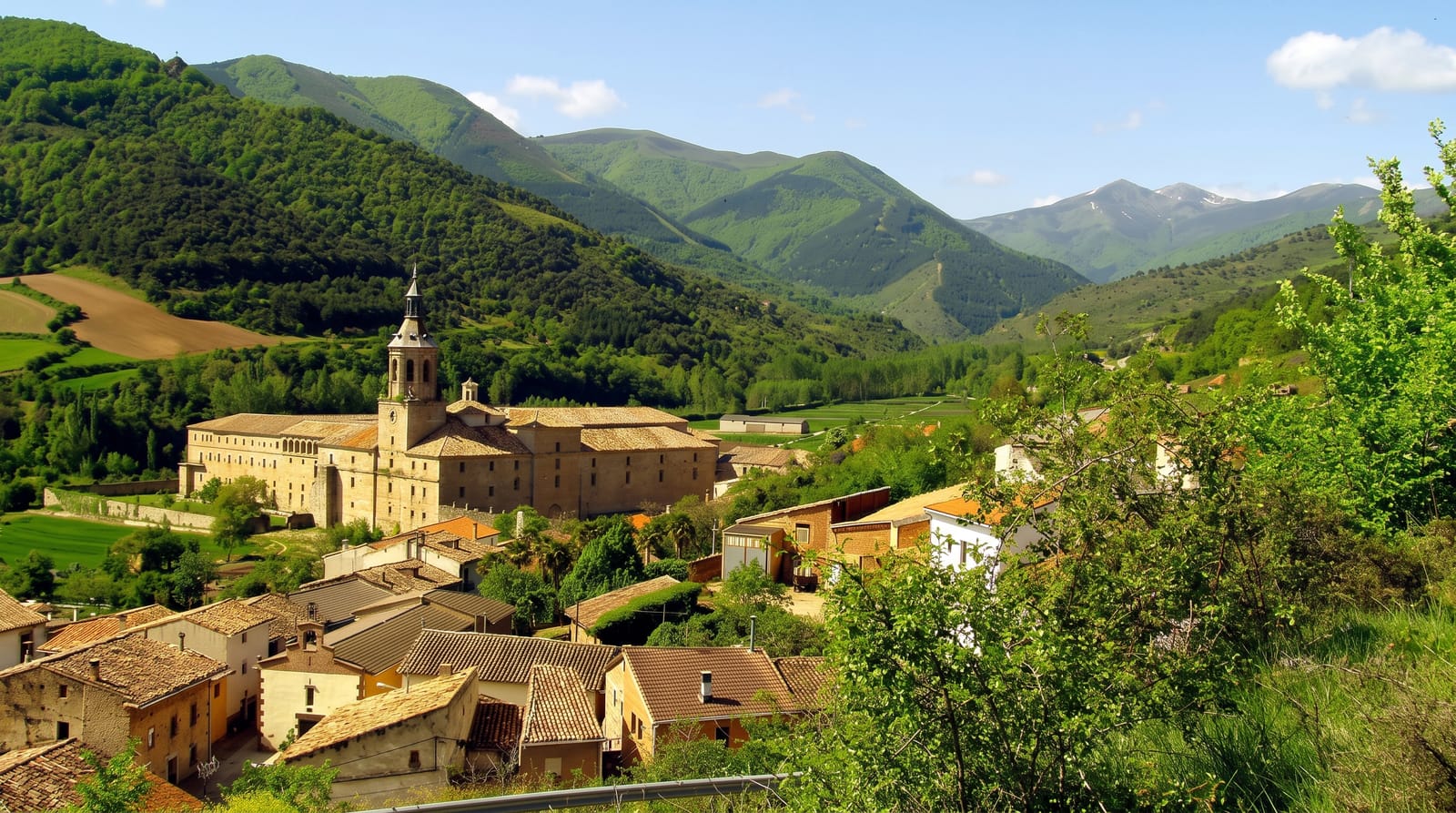
The Sierra de Cebollera rises to 2,142 metres on the border with Soria and holds the clearest glacial evidence in La Rioja: cirques, moraines and a few small lakes left by ice that persisted here through the last glaciation. Beech, Scots pine and oak cover the slopes, with high pasture above. The park was created in 1995. An unusual feature is the Sendero de los Cauces, a walking route through the woods along which land-art installations by invited artists have been built into the forest since 2000, using wood, stone and water from the site, and left to decay naturally, so the trail changes over years. The Cameros villages below preserve a transhumance history and a wooden building tradition.
The landscape
- The glacial cirques - the clearest ice-carved features in La Rioja.
- The land-art trail - installations built into the forest and left to decay.
- The beech and pine - mixed high forest across the slopes.
- The Cameros villages - settlements with a transhumance and timber tradition.
When to go
June to October for walking, when the high routes are clear; autumn colour in the beech is the visual peak in late October. Winter brings snow and the higher roads can close.
Before you go
The land-art works decay by design, so some are barely visible and others gone. Facilities are limited to the visitor centre and a few village bars. The Cameros are among the most depopulated areas in Spain.
Nearby
Villoslada and the Cameros villages are below; Soria and the Urbion forests lie south.
Key facts
Source: Wikidata, item Q24001981, read on 18 October 2026.
What to pack for Sierra de Cebollera
Chosen from what this place is for. Tap a kit for the full checklist.
- Broken-in walking shoes or boots - Grip and ankle support matter more than looks; never hike in brand-new boots. Find on Amazon
- Warm base layers - Merino or synthetic against the skin - never cotton, which chills when damp. Find on Amazon
- Layers + a waterproof shell - Mountain weather turns fast; a packable rain jacket saves the day. Find on Amazon
- An insulated + windproof jacket - A down or synthetic layer under a hard shell handles most cold. Find on Amazon
Some links on this page are Amazon affiliate links - if you buy through them we may earn a small commission at no extra cost to you.
All packing kitsPlan your trip
Where to start if Sierra de Cebollera is going on the list.
Booking links on this page are affiliate links - if you book through them we may earn a small commission at no extra cost to you. It never changes what we write about a place.
Opening times, ticket prices and seasonal closures change - check the official source before you go: official site.