Sierra de Cazorla
The largest protected area in Spain, a limestone range of pine gorges and deer where the Guadalquivir rises.
Updated 4 September 2026

AI illustration
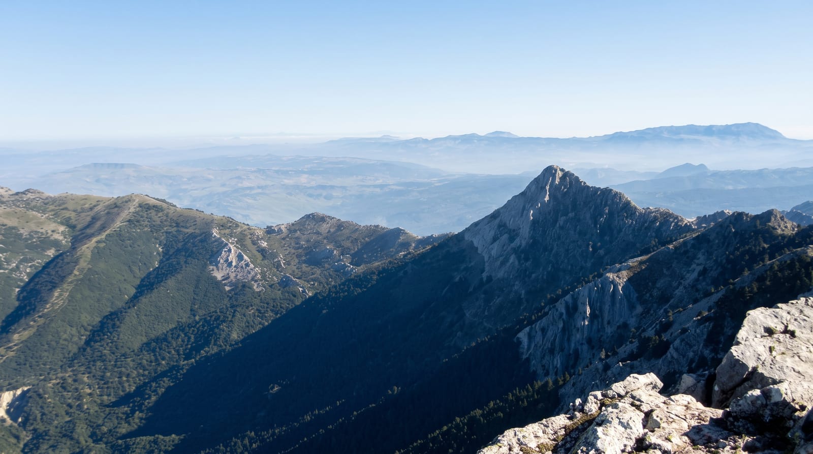
The Sierras de Cazorla, Segura y Las Villas natural park covers about 2,100 square kilometres, which makes it the largest protected area in Spain and one of the largest in Europe, a limestone massif rising to just over two thousand metres and cut by deep gorges. The Guadalquivir rises here at Canada de las Fuentes and runs north before turning west toward Cordoba and Seville. The forests are mainly Aleppo and black pine, with a rich endemic flora including the Cazorla violet, and the wildlife includes red and fallow deer, ibex, mouflon, wild boar and one of Spain's better lammergeier reintroduction programmes. The Cerrada de Elias and the Borosa river walk are the best-known routes.
Highlights
- The Borosa river walk - a gorge route with boardwalks and tunnels.
- The Guadalquivir source - the river's origin at Canada de las Fuentes.
- The deer and ibex - large populations, most visible at dawn and dusk.
- The pine forests - extensive Aleppo and black pine across the range.
When to go
April to June for flowers and water in the rivers, September to November for the deer rut and autumn colour; summer is hot and crowded with Spanish holidaymakers. Some areas close for fire risk in high summer.
Before you go
The park is very large and roads through it are slow and winding. Popular trailheads such as the Borosa fill their car parks early in season, and access can be restricted. Accommodation concentrates in Cazorla and a few villages and books out in August.
Nearby
Cazorla town sits at the western edge; Ubeda and Baeza lie west across the olive plain.
Key facts
Source: Wikidata, item Q7511639, read on 18 October 2026.
What to pack for Sierra de Cazorla
Chosen from what this place is for. Tap a kit for the full checklist.
- Broken-in walking shoes or boots - Grip and ankle support matter more than looks; never hike in brand-new boots. Find on Amazon
- Binoculars - The single best wildlife tool - even a compact pair transforms a sighting. Find on Amazon
- Layers + a waterproof shell - Mountain weather turns fast; a packable rain jacket saves the day. Find on Amazon
- A zoom camera or long lens - Animals rarely come close; reach beats megapixels. Find on Amazon
Some links on this page are Amazon affiliate links - if you buy through them we may earn a small commission at no extra cost to you.
All packing kitsPlan your trip
Where to start if Sierra de Cazorla is going on the list.
Booking links on this page are affiliate links - if you book through them we may earn a small commission at no extra cost to you. It never changes what we write about a place.
Opening times, ticket prices and seasonal closures change - check the official source before you go: official site.