San Vicente de la Barquera
A Cantabrian fishing town on an estuary, with a long bridge, a castle and the Picos de Europa rising directly behind.
Updated 21 October 2026

AI illustration
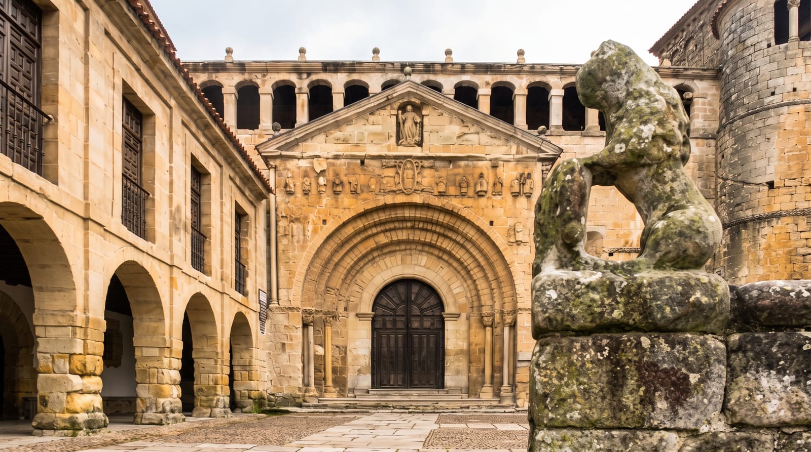
San Vicente sits on an estuary within the Oyambre natural park, and the standard image is the Puente de la Maza, a long bridge of many arches crossing the water, with the town on its ridge behind and, on a clear day, the snow-covered Picos de Europa rising beyond. It was one of the four maritime towns of the Cantabrian coast granted trading privileges in the medieval period, and it keeps a castle of the thirteenth century and the church of Santa Maria de los Angeles with a Gothic portal and the alabaster tomb of an inquisitor. The fishing fleet still works. Usually on the second Sunday after Easter the town holds La Folia, a festival of national tourist interest in which an image of the Virgin is carried by boat across the estuary.
Highlights
- The Puente de la Maza - a long multi-arched bridge across the estuary.
- The Picos backdrop - the mountains behind the town on clear days.
- The castle and church - thirteenth-century fortifications and a Gothic church.
- La Folia - a spring procession of boats on the estuary.
When to go
May, June, September and October; August fills the town with Spanish holidaymakers. The Picos view depends on clear weather, which on this coast is not guaranteed in any season.
Good to know
Cloud hides the Picos more often than not, and the famous view is a matter of luck. The town is busy in summer and quiet the rest of the year. Rain is frequent.
Nearby
Comillas lies east; the Picos de Europa and Potes are inland to the south.
Key facts
Source: Wikidata, item Q384817, read on 18 October 2026.
What to pack for San Vicente de la Barquera
Chosen from what this place is for. Tap a kit for the full checklist.
- Travel rod + reel - A packable multi-piece rod fits in a case and covers most holiday fishing. Find on Amazon
- Warm base layers - Merino or synthetic against the skin - never cotton, which chills when damp. Find on Amazon
- Comfortable walking shoes - Sightseeing means kilometres of pavement and cobbles daily. Find on Amazon
- A small tackle selection - Hooks, weights, line and a few lures or flies suited to local waters. Find on Amazon
Some links on this page are Amazon affiliate links - if you buy through them we may earn a small commission at no extra cost to you.
All packing kitsPlan your trip
Where to start if San Vicente de la Barquera is going on the list.
Booking links on this page are affiliate links - if you book through them we may earn a small commission at no extra cost to you. It never changes what we write about a place.
Opening times, ticket prices and seasonal closures change - check the official source before you go: official site.