Cap de Creus
The easternmost point of mainland Spain, a natural park of wind-scoured schist, small rock coves and a working lighthouse above the sea.
Updated 21 October 2026

AI illustration
Cap de Creus is where the Pyrenees run into the Mediterranean and stop. The rock is folded schist, twisted into shapes that read as organic and were drawn repeatedly by Dali, who kept a house in the next bay at Portlligat. A single road runs out to the lighthouse through low scrub, dry stone terracing and no buildings, and the tramuntana wind blows hard enough here to flatten anything that grows. Below the cape the coast breaks into small coves reachable only on foot or by boat, with clear water over rock rather than sand. It became Catalonia's first combined land and marine natural park in 1998, and the peninsula covers about 190 square kilometres some twenty-five kilometres south of the French border.
Highlights
- The folded schist - rock twisted into forms that fed Dali's painting.
- The lighthouse point - the easternmost land on the Spanish mainland.
- The rock coves - Cala Culip and its neighbours, reached on foot or by boat.
- Sant Pere de Rodes - the mountain monastery on the park's southern ridge.
When to go
Spring and early autumn give warm water without August traffic on the single cape road. The tramuntana can blow for days at a stretch in winter and spring, which is impressive from shelter and miserable on an exposed path. Snorkelling is best in September, when the sea is at its warmest and the coves have emptied out.
Things to know
The one road to the lighthouse is narrow and its car park fills fast in summer, leaving a long walk back if you miss out. There is no sand: swimming means scrambling over rock into deep water. The wind is genuinely strong and cancels boat trips at short notice. Shade is nonexistent and the walking is over loose stone.
Nearby
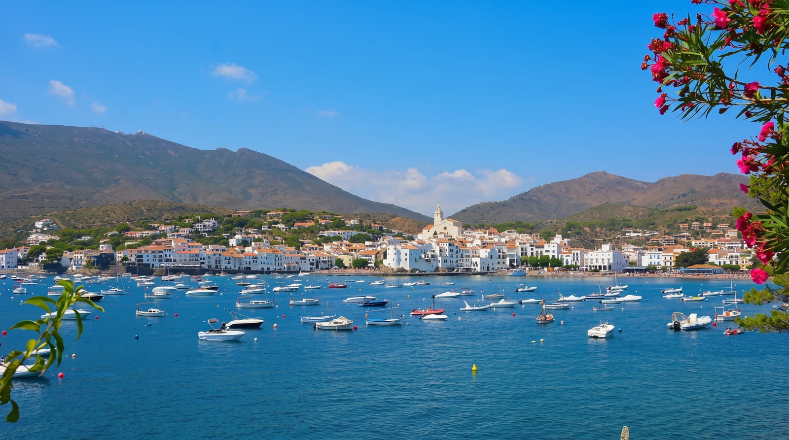
Cadaques and Portlligat sit just south; Roses closes the bay to the west.
Key facts
Source: Wikidata, item Q1034193, read on 18 October 2026.
What to pack for Cap de Creus
Chosen from what this place is for. Tap a kit for the full checklist.
- Broken-in walking shoes or boots - Grip and ankle support matter more than looks; never hike in brand-new boots. Find on Amazon
- Reef-safe sunscreen - High SPF that will not bleach the coral you are swimming over. Find on Amazon
- Your own mask + snorkel - A well-fitting mask is the single biggest comfort upgrade underwater. Find on Amazon
- Binoculars - The single best wildlife tool - even a compact pair transforms a sighting. Find on Amazon
Some links on this page are Amazon affiliate links - if you buy through them we may earn a small commission at no extra cost to you.
All packing kitsPlan your trip
Where to start if Cap de Creus is going on the list.
Booking links on this page are affiliate links - if you book through them we may earn a small commission at no extra cost to you. It never changes what we write about a place.
Opening times, ticket prices and seasonal closures change - check the official source before you go: official site.