Arcos de la Frontera
A white town on a sandstone ridge above a bend of the Guadalete, with a cliff-edge square looking straight down.
Updated 20 October 2026
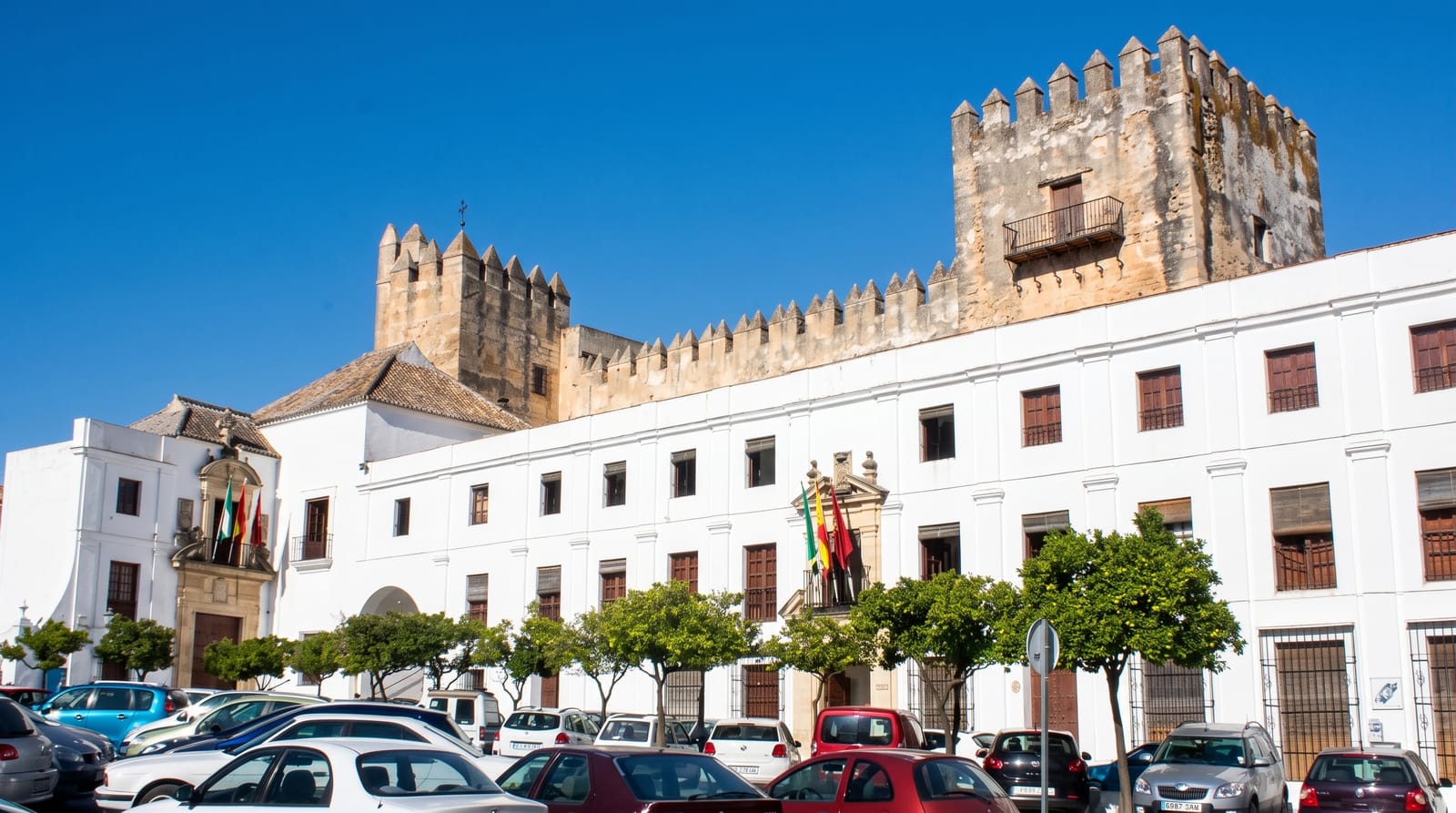
AI illustration
Arcos stands on a long spur of soft rock with the Guadalete river curving around its base, and on the northern side the ground simply stops: the Plaza del Cabildo at the top has a low wall and a drop of over a hundred metres to the valley, with the parador on one side and the church of Santa Maria de la Asuncion on another. The old town behind is a maze of lanes too narrow for two cars, with the Basilica de Santa Maria, the church of San Pedro on its own cliff, and Moorish and Renaissance houses along the way. It is the first of the pueblos blancos on the standard route east toward Grazalema and Ronda.
What to look for
- Plaza del Cabildo - a clifftop square with a hundred-metre drop below.
- Santa Maria de la Asuncion - a Gothic and Renaissance basilica on the square.
- The narrow lanes - a medieval street plan barely wide enough for a car.
- San Pedro - a second church standing on its own section of cliff.
When to go
Spring and autumn; the Guadalete valley below is green in spring and burnt by August. Holy Week processions through the narrow lanes are a notable event, and the summer heat here is severe.
What to expect
Driving into the old town is genuinely difficult, with lanes that mirrors barely clear, and most visitors park below and walk up. The climb is steep. Churches keep short and irregular hours.
Nearby
Grazalema and Zahara lie east; Jerez and its sherry bodegas are thirty kilometres west.
Key facts
Source: Wikidata, item Q637863, read on 18 October 2026.
What to pack for Arcos de la Frontera
Chosen from what this place is for. Tap a kit for the full checklist.
- Comfortable walking shoes - Sightseeing means kilometres of pavement and cobbles daily. Find on Amazon
- Modest clothing - Shoulders and knees covered - the single most common requirement. Find on Amazon
- A slim anti-theft daypack - Zips that close properly; keep it in front in crowds and on transit. Find on Amazon
- A scarf or shawl - To cover the head or shoulders on entry; women especially at mosques. Find on Amazon
Some links on this page are Amazon affiliate links - if you buy through them we may earn a small commission at no extra cost to you.
All packing kitsPlan your trip
Where to start if Arcos de la Frontera is going on the list.
Booking links on this page are affiliate links - if you book through them we may earn a small commission at no extra cost to you. It never changes what we write about a place.
Opening times, ticket prices and seasonal closures change - check the official source before you go: official site.