Chiaksan National Park
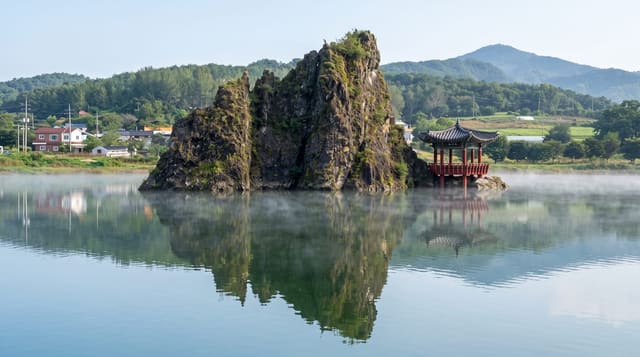
Steep forested ridges above Wonju with the Guryongsa temple valley below and a reputation for punishing climbs.
Updated 21 October 2026
Chiaksan runs to 1,288 metres at Birobong on a ridge east of Wonju, and among Korean hikers it has a specific reputation: the ascents are relentless, with long unbroken gradients and rock steps, and the name is popularly glossed as the mountain that makes you cry. The most-walked approach is from Guryongsa, a temple founded in the Silla period in a valley of pools and old trees at the northern end - the temple itself, its stone bridge and the surrounding forest are worth the walk even if you go no further. From Birobong three stone cairns stand on the summit, built and rebuilt by a local man over years. Other routes climb from Seongnam past Sangwonsa, a hermitage high on the ridge that carries a legend about a pheasant repaying a debt to a traveller, which is where the mountain's name comes from. Autumn colour here is strong and the park, designated in 1984 as the sixteenth in the country, is far quieter than Seoraksan.
What you'll find
- Guryongsa temple - the Silla foundation in its pool valley.
- The Birobong cairns - the stone piles on the summit.
- Sangwonsa hermitage - the high shrine and its pheasant legend.
- The autumn ridges - colour without Seoraksan's crowds.
When to go
May to June and October. Autumn is the best season and still far less crowded than the eastern parks. Winter needs crampons on the upper rock.
Good to know
The climbs are genuinely steep and sustained - this is not a gentle national park. Trails are rocky and hard on the knees descending. Facilities are limited to the trailheads.
Nearby
Wonju is 15 km west; Woraksan and Chungju Lake are south.
Key facts
Source: Wikidata, item Q3375188, read on 18 October 2026.
What to pack for Chiaksan National Park
Chosen from what this place is for. Tap a kit for the full checklist.
- Broken-in walking shoes or boots - Grip and ankle support matter more than looks; never hike in brand-new boots. Find on Amazon
- Binoculars - The single best wildlife tool - even a compact pair transforms a sighting. Find on Amazon
- Modest clothing - Shoulders and knees covered - the single most common requirement. Find on Amazon
- Layers + a waterproof shell - Mountain weather turns fast; a packable rain jacket saves the day. Find on Amazon
Some links on this page are Amazon affiliate links - if you buy through them we may earn a small commission at no extra cost to you.
All packing kitsPlan your trip
Where to start if Chiaksan National Park is going on the list.
Booking links on this page are affiliate links - if you book through them we may earn a small commission at no extra cost to you. It never changes what we write about a place.
Opening times, ticket prices and seasonal closures change - check the official source before you go: official site.