Lone Creek Falls
A seventy-metre fall into indigenous forest, with a paved path that goes right to the base and behind the spray.
Updated 21 October 2026
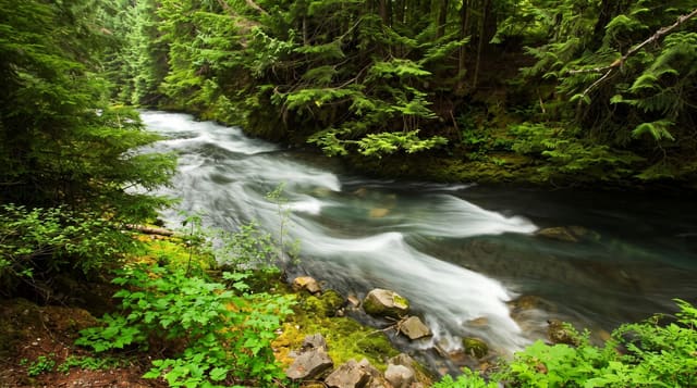
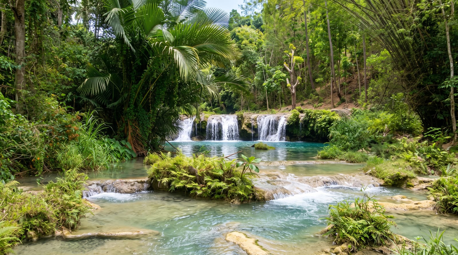
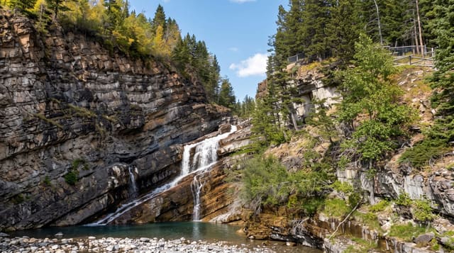
Lone Creek drops about seventy metres over a rock lip into a pocket of indigenous forest, and the fall has been declared a national monument, and unlike the Panorama Route falls that are viewed from across a gorge, this one you walk to: a short paved path with a footbridge leads to the base, close enough that spray reaches you and you can look up the full height. Ferns, tree ferns and moss grow in the permanent damp, and the surrounding forest is genuine indigenous remnant rather than plantation, which makes the walk itself worth the stop. The path is accessible for wheelchairs on the lower section. Sabie sits in the middle of one of the largest man-made forest areas in the world, and the district has several falls within a short drive - Bridal Veil, Horseshoe and Mac Mac - of which Lone Creek is generally rated the best for actually getting close to falling water.
The landscape
- The base approach - a paved path right to the foot of the fall, into the spray.
- The forest pocket - indigenous trees and tree ferns in permanent damp.
- The 70-metre drop - a single clean fall over a rock lip.
- The accessible path - the lower section usable by wheelchairs.
When to go
November to April for volume. One hour. Mornings have better light in the gorge.
Before you go
The path is short - this is a stop rather than a walk. Rocks near the base are slippery. Winter flow is much reduced. There is a fee and it is cash at some gates.
Nearby
Sabie is the base town; Mac Mac Falls is north on the R532.
Key facts
Source: Wikidata, item Q2006278, read on 18 October 2026.
What to pack for Lone Creek Falls
Chosen from what this place is for. Tap a kit for the full checklist.
- Broken-in walking shoes or boots - Grip and ankle support matter more than looks; never hike in brand-new boots. Find on Amazon
- Layers + a waterproof shell - Mountain weather turns fast; a packable rain jacket saves the day. Find on Amazon
- Daypack with rain cover - 20-30 litres holds water, snacks, layers and a first-aid kit. Find on Amazon
- Offline maps + a power bank - Download the trail before you lose signal; carry backup charge. Find on Amazon
Some links on this page are Amazon affiliate links - if you buy through them we may earn a small commission at no extra cost to you.
All packing kitsPlan your trip
Where to start if Lone Creek Falls is going on the list.
Booking links on this page are affiliate links - if you book through them we may earn a small commission at no extra cost to you. It never changes what we write about a place.
Opening times, ticket prices and seasonal closures change - check the official source before you go: official site.