Silhouette Island
A mountainous granite island west of Mahé, almost entirely national park.
Updated 22 October 2026
Silhouette rises steeply out of the sea twenty kilometres west of Mahé, its peak reaching 740 metres, and almost the whole island is national park with no roads and a single settlement at La Passe. The forest on it is among the least disturbed in the granitic Seychelles, holding endemic plants and the Seychelles sheath-tailed bat, one of the rarest bats anywhere. Trails cross the island on foot and the coast is walked between beaches.
History
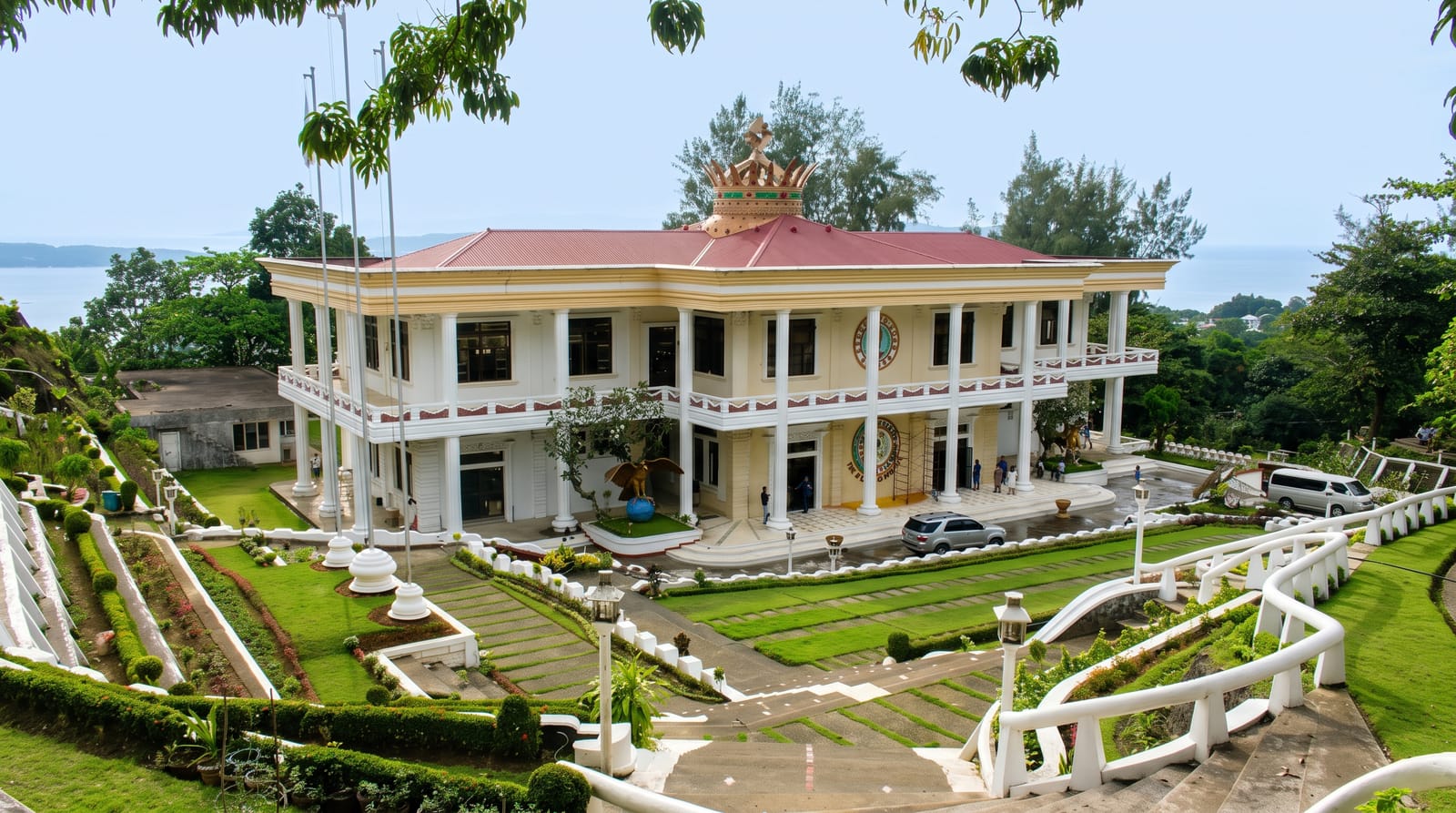
The crew of the English East India Company ship Ascension were the first people known to land here, in 1609, and Charles Oger took possession for the King of France on 28 January 1771; the island is named after Étienne de Silhouette, finance minister to Louis XV. From the mid-19th century until 1960 the Dauban family owned it and developed its plantations, and their mausoleum is modelled on the Madeleine in Paris (Wikipedia, Silhouette Island).
What you'll find
- The peak - Mont Dauban rising to 740 metres above the forest.
- The forest - among the least disturbed woodland in the granitic islands.
- The sheath-tailed bat - one of the world's rarest bats, surviving here.
- The trail network - foot routes crossing the island, with no roads anywhere.
When to go
April to May and October to November are the calm months between monsoons. December to March brings northwest wind and rain. Crossings can be rough.
Good to know
There is one hotel and no independent accommodation, which makes visiting expensive. Trails are steep, muddy and often overgrown. Boat crossings are cancelled in rough conditions.
Nearby
North Island is northeast, and Mahé is east.
Key facts
Source: Wikidata, item Q40413, read on 18 October 2026.
What to pack for Silhouette Island
Chosen from what this place is for. Tap a kit for the full checklist.
- Broken-in walking shoes or boots - Grip and ankle support matter more than looks; never hike in brand-new boots. Find on Amazon
- Reef-safe sunscreen - High SPF that will not bleach the coral you are swimming over. Find on Amazon
- Strong insect repellent - DEET or picaridin; the jungle is where bites and disease risk are highest. Find on Amazon
- Layers + a waterproof shell - Mountain weather turns fast; a packable rain jacket saves the day. Find on Amazon
Some links on this page are Amazon affiliate links - if you buy through them we may earn a small commission at no extra cost to you.
All packing kitsPlan your trip
Where to start if Silhouette Island is going on the list.
Booking links on this page are affiliate links - if you book through them we may earn a small commission at no extra cost to you. It never changes what we write about a place.
Opening times, ticket prices and seasonal closures change - check the official source before you go: official site.