Dinagat Islands
A little-visited province north of Surigao - bonsai forest on ultramafic rock, cliff coves, lagoons and almost no tourism.
Updated 21 October 2026
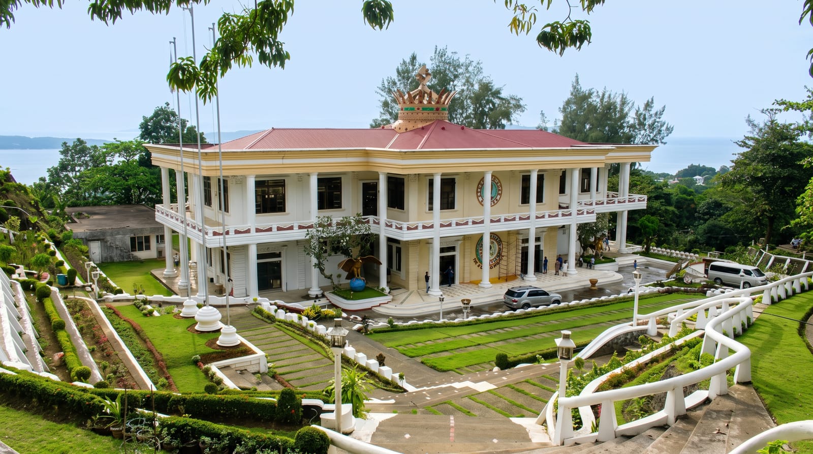
AI illustration
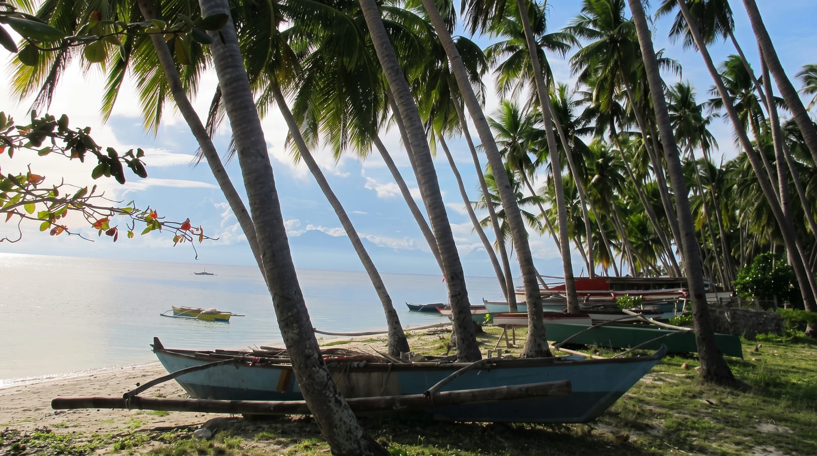
Dinagat is a province of islands lying between Surigao and Leyte Gulf, and it remains one of the least-visited corners of the country despite sitting an hour from Siargao's airport traffic. Its distinguishing feature is geological: much of the island is ultramafic rock, high in metals and hostile to ordinary plants, which has produced a stunted, wind-shaped forest that everyone calls the bonsai forest - dwarf trees a metre or two high spreading over ridges with views to the sea. The same geology has made the province a mining district, which is a live local subject. Around the coast are Bitaog and Punta Bilar's beaches, the lagoons and cliff formations at Kabakab and Isla Aga, caves, and clear water with very little boat traffic. Infrastructure is thin - ferries, habal-habal, small lodges - and travel here takes patience and cash.
History
The name means "of the sea", from the Visayan dagat. Settlers from Bohol and Leyte came here under Spanish rule, and Dinagat was founded as a pueblo on 25 April 1855 under Governor-General Manuel Crespo; Loreto, first called Mabua after its foaming river, became a pueblo on 4 September 1890 (Wikipedia, Dinagat Islands).
Highlights
- The bonsai forest - dwarf trees on ultramafic ridges.
- The cliff coves - lagoons and rock formations round the coast.
- The empty beaches - shore with almost no development.
- The island crossings - boats between the province's islands.
When to go
March to October for the calmest crossings; this coast is exposed to the northeast monsoon from late in the year. Ferries are weather-dependent year-round.
Practical notes
Tourism infrastructure is minimal - few lodges, limited food options, ATMs only in the main towns. Getting between sites takes boats and motorbikes and a lot of time. Bring cash.
Nearby
Surigao City is the ferry port; Siargao and Bucas Grande lie east across the strait.
What to pack for Dinagat Islands
Chosen from what this place is for. Tap a kit for the full checklist.
- Reef-safe sunscreen - High SPF that will not bleach the coral you are swimming over. Find on Amazon
- Head torch + spare batteries - Hands-free light is essential; caves are truly dark. Find on Amazon
- Strong insect repellent - DEET or picaridin; the jungle is where bites and disease risk are highest. Find on Amazon
- Quick-dry towel - A microfibre towel packs small and dries in minutes. Find on Amazon
Some links on this page are Amazon affiliate links - if you buy through them we may earn a small commission at no extra cost to you.
All packing kitsPlan your trip
Where to start if Dinagat Islands is going on the list.
Booking links on this page are affiliate links - if you book through them we may earn a small commission at no extra cost to you. It never changes what we write about a place.
Opening times, ticket prices and seasonal closures change - check the official source before you go: official site.