Golija
A forested massif in southwest Serbia recognised as a UNESCO biosphere reserve, with dense woods and scattered hamlets.
Updated 21 October 2026
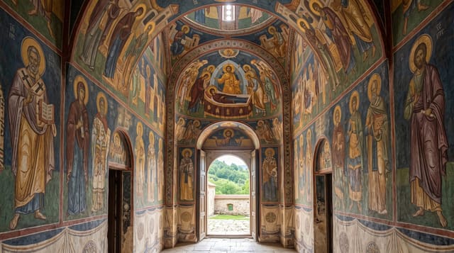
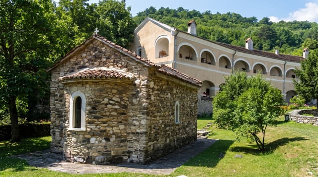
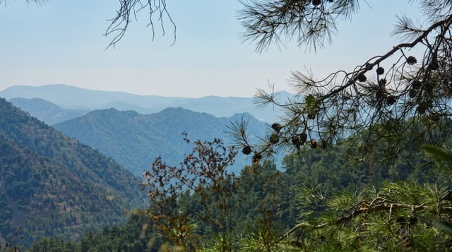
Golija reaches 1,833 metres at Jankov Kamen and is covered by some of the largest continuous forest in Serbia, beech, fir and spruce, with peat bogs, springs and a high proportion of endemic and relict plants; it was designated a UNESCO biosphere reserve in 2001, the first in Serbia, and is also a nature park. Human presence is thin: scattered hamlets, summer grazing, and the Studenica monastery on its northern flank. The massif runs about thirty-two kilometres in a C-shape and covers some 750 square kilometres. Walking and mountain biking routes cross it, and the Golijska Moravica river rises here. Ivanjica on the northern side is the usual base and is known for its air quality, having been a climatic resort for respiratory treatment. Roads over the mountain are rough and snowbound in winter.
The landscape
- Continuous forest - beech, fir and spruce over the whole massif.
- Peat bogs and springs - wet habitats with relict plant communities.
- Scattered hamlets - thin settlement and summer grazing.
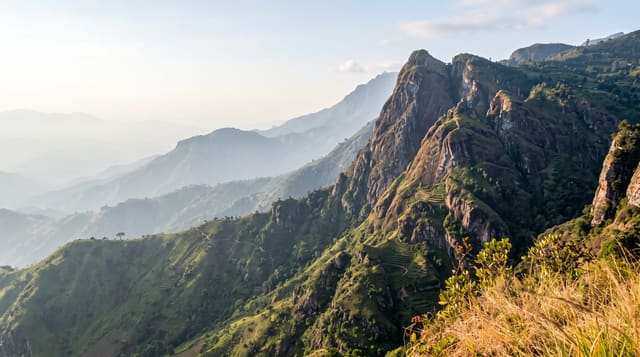
- Jankov Kamen - the summit and its view over southwest Serbia.
When to go
May to October for walking; June for flowers and September for clear weather. Snow closes the mountain roads from November to April, though some slopes are used for basic skiing.
What to expect
Trails are poorly marked and the forest makes navigation harder than open mountain. Accommodation is a few village households and small lodges. Roads are rough and long. Bears and wolves live here, which affects camping practice. There is no visitor centre of consequence.
Nearby
Studenica lies northeast; Novi Pazar is southeast.
Key facts
Source: Wikidata, item Q2734930, read on 18 October 2026.
What to pack for Golija
Chosen from what this place is for. Tap a kit for the full checklist.
- Broken-in walking shoes or boots - Grip and ankle support matter more than looks; never hike in brand-new boots. Find on Amazon
- Warm base layers - Merino or synthetic against the skin - never cotton, which chills when damp. Find on Amazon
- Layers for big temperature swings - Warm sun by day, near-freezing at night, even near the equator. Find on Amazon
- Modest clothing - Shoulders and knees covered - the single most common requirement. Find on Amazon
Some links on this page are Amazon affiliate links - if you buy through them we may earn a small commission at no extra cost to you.
All packing kitsPlan your trip
Where to start if Golija is going on the list.
Booking links on this page are affiliate links - if you book through them we may earn a small commission at no extra cost to you. It never changes what we write about a place.
Opening times, ticket prices and seasonal closures change - check the official source before you go: official site.