The Asir Mountains
A mountain region running parallel to the Red Sea in south-western Saudi Arabia, with the highest rainfall in the country, juniper woodland above 1,600 m (5,250 ft) and crops on steep terraces.
Updated 6 November 2026
AI illustration
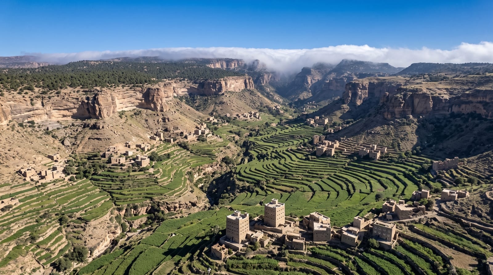
The Asir Mountains, part of the Sarawat range, run parallel to the Red Sea across south-western Saudi Arabia, mostly within Asir Province and on towards the border with Yemen, and they include Jabal Sawda, officially the highest point in the country. Geologically they form the eastern shoulder of the Red Sea rift, with limestone, sandstone and shale of Jurassic to Paleogene age resting on Precambrian granite. Mostly seasonal rain gives the region the highest average rainfall in Saudi Arabia, from 600 to over 1,000 mm (24 to 39 in) a year in the wettest parts, while the plains and plateaus to the east get from 500 mm (20 in) to under 100 mm (3.9 in). Coffee, wheat, cotton, ginger, indigo, palms and vegetables are grown, mostly on steep terraces, cattle, sheep, goats and camels are raised, and terraces and defensive towers mark the landscape. Abha, the capital of Asir Province, lies at 2,270 m (7,450 ft) near Jabal Sawda, and its mild climate makes it a popular destination for Saudi holidaymakers.
Background
The Asir Mountains, whose Arabic name means difficult, are a mountainous region of south-western Saudi Arabia that runs parallel to the Red Sea, mainly in Asir Province but also near the border with Yemen. Covering about 100,000 km² of mountains, plains and valleys, they belong to the wider Sarawat range. Their rocks are chiefly limestone, sandstone and shale laid down from the Jurassic to the Paleogene on a Precambrian granite basement. The region receives the highest average rainfall in the country, 600 to over 1,000 mm a year in its wettest parts, and is thought to be one of the last natural refuges of the Arabian leopard.
Source: Wikipedia, "Asir Mountains"
The landscape
- Abha - the provincial capital, with hilltop forts and the Shadda Palace of 1927, now a museum of local crafts and household objects.
- The cable cars - one in Abha and one built in the 1990s to take visitors down to the old village of Habala.
- Asir National Park - set up in 1981 and stretching from the Red Sea coast to the peaks, with juniper woodland above 1,600 m (5,250 ft).
- Habala - a village in a valley almost 300 m (980 ft) below the crest of the mountain front, once reached only by rope ladder, which gave it its name.
When to go
Year-round. Abha is mild through most of the year and noticeably cooler in winter; most of its 278 mm (11 in) of rain falls from February to April, with a smaller wet spell in July and August, and snow falls now and then on the higher ground. The Abha Festival is held in summer.
Things to know
The rugged terrain has helped keep the wildlife and plants of the region intact: several new species of slime mould and of plants have been found here, the mountains are considered one of the last places where the Arabian leopard lives in the wild, and the Asir magpie is believed to number no more than 135 pairs. West of Abha, the village of Rijal Almaa, more than 900 years old, has about 60 buildings of stone, clay and wood, some of them eight storeys high, their rooms painted inside by the village women in the Al-Qatt style.
Nearby
In a straight line from the heights near Jabal Sawda, which rises about 5 km to the west, Abha is about 10 km to the east-southeast and Khamis Mushait about 34 km to the east; Rijal Almaa lies about 16 km to the west-southwest and Habala about 55 km to the east-southeast. Jizan, on the Red Sea coast, is about 154 km to the south, and the Farasan Islands lie some 40 km off its shore.
Key facts
Source: Wikidata, item Q730673, read on 18 October 2026.
What to pack for The Asir Mountains
Chosen from what this place is for. Tap a kit for the full checklist.
- Broken-in walking shoes or boots - Grip and ankle support matter more than looks; never hike in brand-new boots. Find on Amazon
- Binoculars - The single best wildlife tool - even a compact pair transforms a sighting. Find on Amazon
- Warm base layers - Merino or synthetic against the skin - never cotton, which chills when damp. Find on Amazon
- Layers for big temperature swings - Warm sun by day, near-freezing at night, even near the equator. Find on Amazon
Some links on this page are Amazon affiliate links - if you buy through them we may earn a small commission at no extra cost to you.
All packing kitsPlan your trip
Where to start if The Asir Mountains is going on the list.
Booking links on this page are affiliate links - if you book through them we may earn a small commission at no extra cost to you. It never changes what we write about a place.
Opening times, ticket prices and seasonal closures change - check the official source before you go: official site.