Ilheu das Rolas
The island on the equator - a boat-hop islet where the zero line crosses a monument, with reef coves and plantation ruins for the day.
Updated 22 October 2026
AI illustration
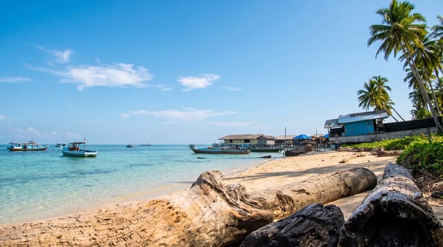
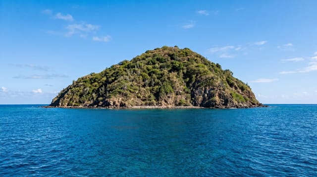
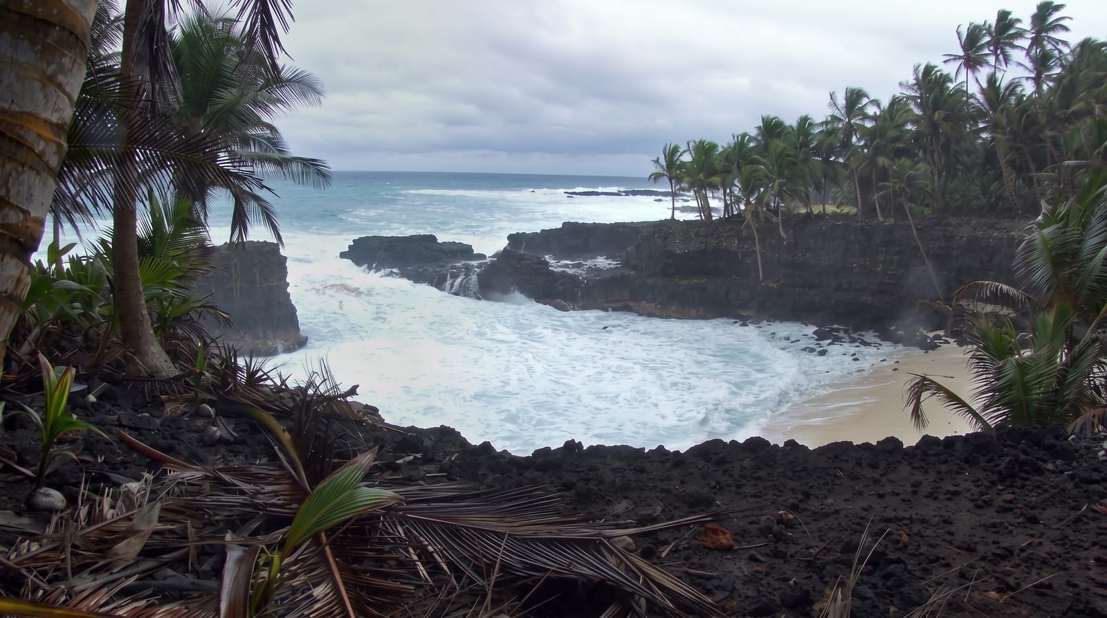
Off Sao Tome's southern tip, Ilheu das Rolas sits precisely where schoolbooks promise: the equator crosses the islet, and the marble marker on its ridge - reached by a sweaty, satisfying path - lets visitors stand with a foot in each hemisphere while the mosaic map underfoot confirms the geography. The rest of the day earns the boat fare on its own: reef coves for snorkelling, the abandoned roca's ruins dissolving into palms, fishing families' villages along the shore, and views back across the strait to the big island's green wall. Resort facilities and simple local arrangements coexist; both versions end at the same sunset.
History
The islet appears as Illie de Rolle on a map by Johannes Vingboons of 1665. The Portuguese naval officer Gago Coutinho, whose geodetic mission worked on São Tomé between 1915 and 1918, showed that the equator crosses it, and the resulting map was published in 1919 (Wikipedia, Ilhéu das Rolas).
What you'll find
- The equator marker - two hemispheres, one photograph.
- The reef coves - snorkelling the islet's clear corners.
- The roca ruins - plantation memory going back to green.
- The strait views - Sao Tome's peaks across the water.
When to go
June to September for calm crossings and dry paths; morning boats give the fullest day and the glassiest snorkelling. The marker photo queue - such as it is - peaks midday.
Practical notes
The crossing is short but open - lifejackets worth requesting; the marker path is hot and slick in flip-flops. Day-trip logistics run smoothest arranged the evening before at Porto Alegre. It is a charming, modest day - the equator does the headline work.
Nearby
Porto Alegre, Praia Jale's turtle beach and the southern roca coast.
Key facts
Source: Wikidata, item Q1535148, read on 18 October 2026.
What to pack for Ilheu das Rolas
Chosen from what this place is for. Tap a kit for the full checklist.
- Travel rod + reel - A packable multi-piece rod fits in a case and covers most holiday fishing. Find on Amazon
- Reef-safe sunscreen - High SPF that will not bleach the coral you are swimming over. Find on Amazon
- Your own mask + snorkel - A well-fitting mask is the single biggest comfort upgrade underwater. Find on Amazon
- Binoculars - The single best wildlife tool - even a compact pair transforms a sighting. Find on Amazon
Some links on this page are Amazon affiliate links - if you buy through them we may earn a small commission at no extra cost to you.
All packing kitsPlan your trip
Where to start if Ilheu das Rolas is going on the list.
Booking links on this page are affiliate links - if you book through them we may earn a small commission at no extra cost to you. It never changes what we write about a place.
Opening times, ticket prices and seasonal closures change - check the official source before you go: official site.