Monte Titano Trails
Paths around the republic's mountain - the witches' path beneath the towers, quarry woods and viewpoints back at the fortress skyline.
Updated 7 August 2026
UNESCO World Heritage
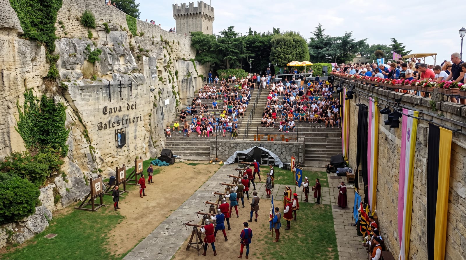
Most visitors see Monte Titano only from the battlements; the trails see the battlements from below, which is where the skyline actually lives. The Sentiero delle Streghe - the witches' path - runs along the cliff base beneath the three towers, linking crags and woods with the fortress walls overhead; other paths drop through old quarry terraces to Borgo Maggiore and circle the mountain through oak and hornbeam. The whole mountain and historic centre are UNESCO-listed as a surviving city-state landscape, and the outside-the-walls angles are the ones the postcards use.
Highlights
- Sentiero delle Streghe - the cliff-base path beneath the towers.
- The tower skyline views - the fortress profile from below and across.
- Quarry terraces - the old stone workings in the woods.
- The Borgo Maggiore link paths - walking down to the funicular town.
When to go
Spring and autumn give the clearest air and comfortable walking; summer mornings beat both heat and the midday coach crowds up top. Paths can be slippery after rain on the limestone. Winter walking is possible on clear days with care.
Good to know
Trails are short but steeper and rougher than the polished old town suggests - proper shoes, not sightseeing sandals. Signage is adequate rather than lavish; the tourist office map helps. The reward-to-effort ratio is excellent: twenty minutes below the walls delivers views most day-trippers never see.
Nearby
The three towers, the old town gates and the funicular at Borgo Maggiore.
What to pack for Monte Titano Trails
Chosen from what this place is for. Tap a kit for the full checklist.
- Broken-in walking shoes or boots - Grip and ankle support matter more than looks; never hike in brand-new boots. Find on Amazon
- Layers + a waterproof shell - Mountain weather turns fast; a packable rain jacket saves the day. Find on Amazon
- Daypack with rain cover - 20-30 litres holds water, snacks, layers and a first-aid kit. Find on Amazon
- Offline maps + a power bank - Download the trail before you lose signal; carry backup charge. Find on Amazon
Some links on this page are Amazon affiliate links - if you buy through them we may earn a small commission at no extra cost to you.
All packing kitsPlan your trip
Where to start if Monte Titano Trails is going on the list.
Booking links on this page are affiliate links - if you book through them we may earn a small commission at no extra cost to you. It never changes what we write about a place.
Opening times, ticket prices and seasonal closures change - check the official source before you go: official site.