Anse Mamin
A dark-sand beach north of Soufrière reached by walking from Anse Chastanet, with an eighteenth-century plantation in the valley behind.
Updated 22 October 2026
AI illustration
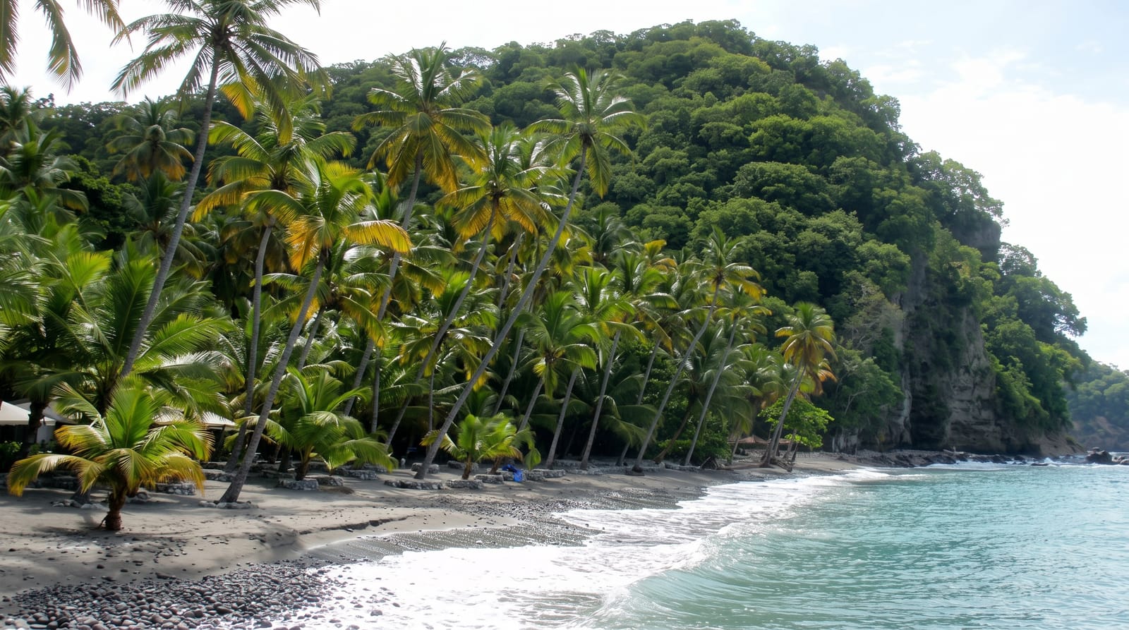
Anse Mamin is the next bay north of Anse Chastanet and is reached on foot along the shore, which keeps it quieter than its neighbour. The sand is volcanic and dark, the water is clear, and behind the beach the valley holds the ruins of an eighteenth-century French plantation, with the mill, the aqueduct and the stone works among the trees. A network of mountain bike trails has been cut through the plantation land and up the ridge, run from the resort at Anse Chastanet and open to visitors, which is an unusual thing to find in a Caribbean rainforest valley.
History
The valley was an 18th-century sugar plantation, ruined by a flood in 1845 and abandoned; in the early 20th century the British built byways linking it to the Soufrière road, and in 1991 it was named in Saint Lucia's environmental profile for its coral reef (Wikipedia, Anse Mamin).
What you'll find
- The dark volcanic sand - a different beach from the pale coral ones.
- The plantation ruins - mill, aqueduct and works in the valley behind.
- The bike trails - cut through the plantation land and up the ridge.
- The walk from Anse Chastanet - fifteen minutes along the shore.
When to go
December to April is the dry season. Mornings are quieter and cooler for the walk and the trails. The bay is sheltered and swimmable most of the year. Snorkelling is better at Anse Chastanet next door.
What to expect
Access is on foot along the shore or by boat; there is no road. Facilities are limited to the resort operation. The bike trails are charged and are steep and technical in the upper sections. The plantation ruins are unlabelled and easily walked past.
Nearby
Anse Chastanet is fifteen minutes south along the shore; Soufrière is beyond.
Key facts
Source: Wikidata, item Q4770555, read on 18 October 2026.
What to pack for Anse Mamin
Chosen from what this place is for. Tap a kit for the full checklist.
- Reef-safe sunscreen - High SPF that will not bleach the coral you are swimming over. Find on Amazon
- Your own mask + snorkel - A well-fitting mask is the single biggest comfort upgrade underwater. Find on Amazon
- Padded shorts - The one thing that makes a full day in the saddle bearable. Find on Amazon
- Strong insect repellent - DEET or picaridin; the jungle is where bites and disease risk are highest. Find on Amazon
Some links on this page are Amazon affiliate links - if you buy through them we may earn a small commission at no extra cost to you.
All packing kitsPlan your trip
Where to start if Anse Mamin is going on the list.
Booking links on this page are affiliate links - if you book through them we may earn a small commission at no extra cost to you. It never changes what we write about a place.
Opening times, ticket prices and seasonal closures change - check the official source before you go: official site.