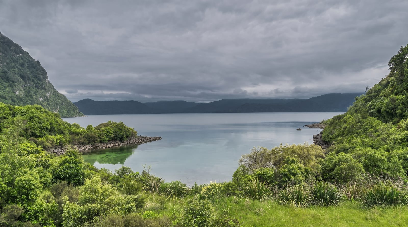
Lake Onega
The second largest lake in Europe, with over a thousand islands, Neolithic rock carvings on its shore and Kizhi out on the water.
Updated 22 October 2026
Onega covers about ten thousand square kilometres, second in Europe only to Ladoga next door, with a shoreline broken into bays and over a thousand islands, mostly in the northern half where the granite comes to the surface. Petrozavodsk sits on the western shore. Out on the water is Kizhi, the island whose eighteenth-century wooden churches are a UNESCO site. On the eastern shore, at Besov Nos and along the granite slabs nearby, are Neolithic petroglyphs - about 1,200 figures pecked into the rock four to six thousand years ago, showing swans, elk, boats, hunters and a large horned figure the Russians named the Devil, which Orthodox monks later carved a cross over. These, with the White Sea petroglyphs, were listed by UNESCO in 2021. Hydrofoils run from Petrozavodsk in season; the eastern shore sites need a long drive or a boat.
History
Peter I founded Petrozavodsk on the lake in 1703 to work the local ore, Kondopoga has been known since 1495, and the Dormition Monastery on Cape Muromsky on the eastern shore was founded in 1350. The Onega petroglyphs, about 1,200 engravings of the 4th to 2nd millennia BC along the eastern shore, were listed by UNESCO in 2021 (Wikipedia, Lake Onega).
What you'll find
- The scale - ten thousand square kilometres and over a thousand islands.
- The Besov Nos petroglyphs - about 1,200 Neolithic figures pecked into granite slabs.
- The carved-over figure - a cross cut by monks across the large horned figure.
- Kizhi - the wooden church island out on the northern water.
When to go
June to September, when hydrofoils run and the shore is accessible. A day for Kizhi; longer for the eastern petroglyph sites. Ice closes navigation in winter.
Practical notes
The petroglyph sites are remote, on the far shore, and reaching them means a long rough drive or a boat charter. Petroglyphs are faint and best in low sun. Onega makes real waves and crossings are cancelled. Mosquitoes on the shore are severe.
Nearby
Kizhi is out on the lake; Petrozavodsk is the base and Kivach is north.
Key facts
Source: Wikidata, item Q166162, read on 18 October 2026.
What to pack for Lake Onega
Chosen from what this place is for. Tap a kit for the full checklist.
- Reef-safe sunscreen - High SPF that will not bleach the coral you are swimming over. Find on Amazon
- Modest clothing - Shoulders and knees covered - the single most common requirement. Find on Amazon
- Quick-dry towel - A microfibre towel packs small and dries in minutes. Find on Amazon
- A scarf or shawl - To cover the head or shoulders on entry; women especially at mosques. Find on Amazon
Some links on this page are Amazon affiliate links - if you buy through them we may earn a small commission at no extra cost to you.
All packing kitsPlan your trip
Where to start if Lake Onega is going on the list.
Booking links on this page are affiliate links - if you book through them we may earn a small commission at no extra cost to you. It never changes what we write about a place.
Opening times, ticket prices and seasonal closures change - check the official source before you go: official site.