Lake Yojoa
Honduras's largest lake and a birder's paradise - a serene mountain-ringed lake between the two big cities, surrounded by cloud forest, coffee farms and waterfalls, famed for its birdlife and lakeside fried fish.
Updated 21 October 2026
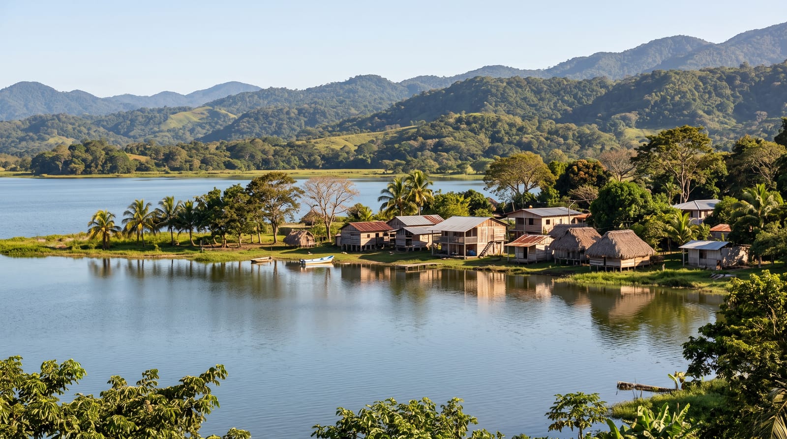
AI illustration
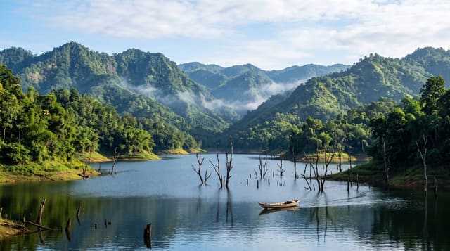
Lake Yojoa, the largest natural lake in Honduras, lies serenely between mountains roughly midway between the country's two biggest cities, a tranquil and scenic retreat ringed by cloud-forest peaks, coffee plantations and national parks. It is celebrated above all for its extraordinary birdlife, with hundreds of species recorded, making it one of Central America's premier birding destinations. Around its shores, visitors can explore the Pulhapanzak waterfall, cloud-forest reserves, a craft brewery and coffee farms, and feast on the famous lakeside fried-fish stalls.
The landscape
- The birdlife - the hundreds of species around the lake.
- The Pulhapanzak waterfall - the thundering cascade nearby.
- The cloud-forest parks - Cerro Azul Meambar and Santa Barbara.
- The fried fish and coffee - the lakeside food stalls and farms.
When to go
November to April, the drier season, for the most comfortable weather and best birding and hiking; the lake is a peaceful year-round destination, and its convenient location on the route between San Pedro Sula and Tegucigalpa makes it an easy and rewarding stop. Early mornings are best for birdwatching.
Before you go
It is a low-key, gently scenic destination rather than a dramatic one, appealing most to birdwatchers, nature lovers and those wanting a peaceful lakeside break rather than beaches or big sights; some lakeshore areas are workaday.
Nearby
The Pulhapanzak falls, the cloud-forest reserves and the cities are within reach.
Key facts
Source: Wikidata, item Q1305720, read on 18 October 2026.
What to pack for Lake Yojoa
Chosen from what this place is for. Tap a kit for the full checklist.
- Broken-in walking shoes or boots - Grip and ankle support matter more than looks; never hike in brand-new boots. Find on Amazon
- Reef-safe sunscreen - High SPF that will not bleach the coral you are swimming over. Find on Amazon
- Binoculars - The single best wildlife tool - even a compact pair transforms a sighting. Find on Amazon
- Layers + a waterproof shell - Mountain weather turns fast; a packable rain jacket saves the day. Find on Amazon
Some links on this page are Amazon affiliate links - if you buy through them we may earn a small commission at no extra cost to you.
All packing kitsPlan your trip
Where to start if Lake Yojoa is going on the list.
Booking links on this page are affiliate links - if you book through them we may earn a small commission at no extra cost to you. It never changes what we write about a place.
Opening times, ticket prices and seasonal closures change - check the official source before you go: official site.