Bosque Estatal de Maricao
The wettest and most botanically rich forest reserve on the island, in coffee country, with a stone tower looking to both coasts.
Updated 22 October 2026
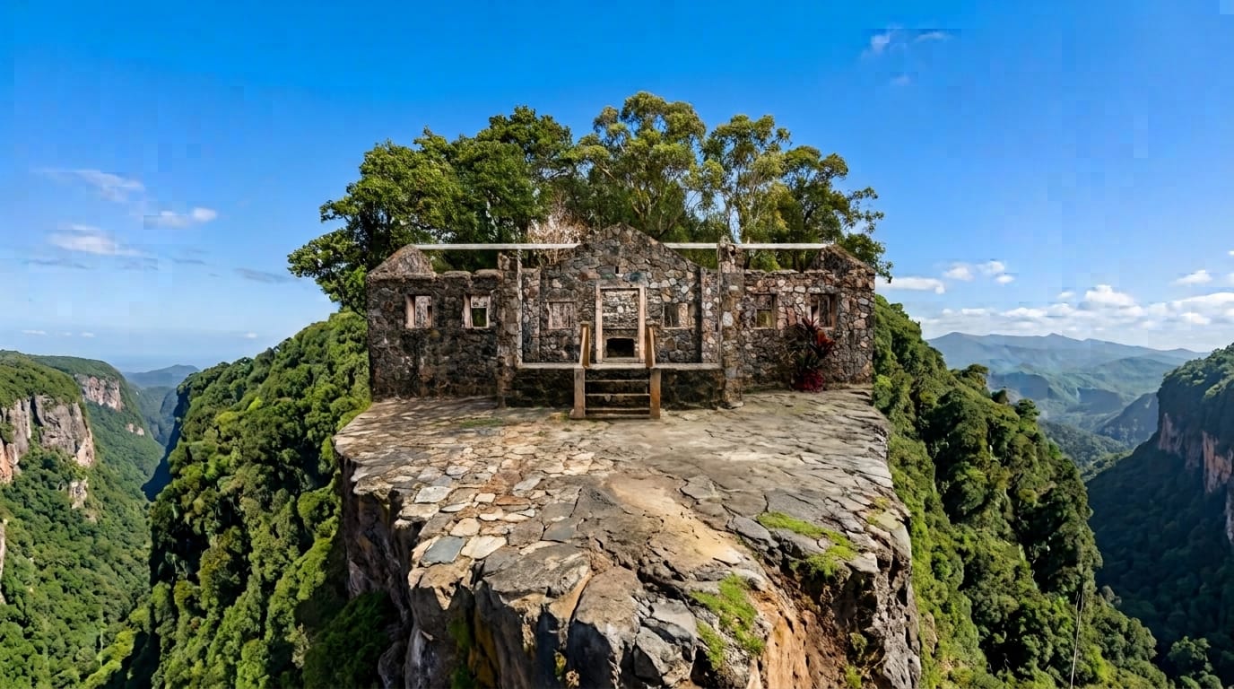
AI illustration
Maricao sits high in the western mountains and catches enormous rainfall, and the result is the most botanically diverse of the island's forest reserves, with hundreds of tree species, dozens of them found nowhere else, growing on serpentine soils that produce unusual plant communities. It is also the heart of the coffee country: the slopes below are planted with shade-grown arabica and the town holds a coffee festival each February. A squat stone observation tower built by the Civilian Conservation Corps in the 1930s stands on the ridge, and on a clear day the view reaches the Atlantic on one side and the Caribbean on the other. A fish hatchery in the valley raises native species for the reservoirs.
History
The forest was created by a proclamation of Governor Arthur Yager on 22 December 1919, and with 10,803 acres it is the largest unit of the island's state forest system (Wikipedia, Maricao State Forest).
The landscape
- The stone observation tower - a 1930s lookout with both coasts in view.
- The endemic trees - species found only in this forest and on these soils.
- The coffee slopes - shade-grown arabica on the hills below.
- The fish hatchery - raising native species in the valley.
When to go
December to April is drier, though this is the wettest reserve on the island and rain is likely in any month. The coffee festival in Maricao is in February. Mornings are clearest for the tower view; cloud usually arrives by midday.
Things to know
It rains here constantly and trails are muddy and slippery most of the year. Facilities are minimal and the reserve office keeps short hours. The mountain roads are narrow, winding and slow, and the drive from San Juan is long. Trail maintenance has been patchy since the hurricanes.
Nearby
San Germán is 45 minutes south; the coffee haciendas are on the surrounding slopes.
Key facts
Source: Wikidata, item Q3728983, read on 18 October 2026.
What to pack for Bosque Estatal de Maricao
Chosen from what this place is for. Tap a kit for the full checklist.
- Broken-in walking shoes or boots - Grip and ankle support matter more than looks; never hike in brand-new boots. Find on Amazon
- Layers + a waterproof shell - Mountain weather turns fast; a packable rain jacket saves the day. Find on Amazon
- Daypack with rain cover - 20-30 litres holds water, snacks, layers and a first-aid kit. Find on Amazon
- Offline maps + a power bank - Download the trail before you lose signal; carry backup charge. Find on Amazon
Some links on this page are Amazon affiliate links - if you buy through them we may earn a small commission at no extra cost to you.
All packing kitsPlan your trip
Where to start if Bosque Estatal de Maricao is going on the list.
Booking links on this page are affiliate links - if you book through them we may earn a small commission at no extra cost to you. It never changes what we write about a place.
Opening times, ticket prices and seasonal closures change - check the official source before you go: official site.