Serra do Cume
A ridge viewpoint over Terceira's field pattern, a green patchwork divided by thousands of dry-stone walls.
Updated 28 August 2026
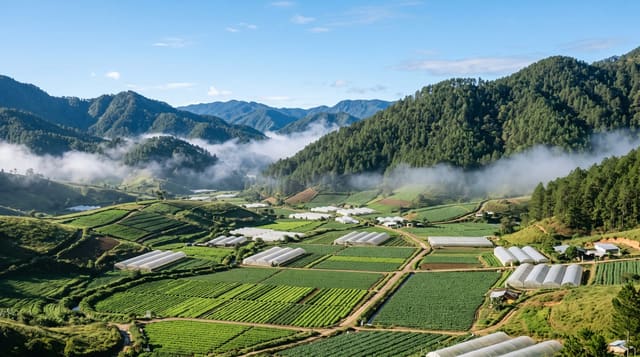
The Serra do Cume is the eastern rim of an old caldera on Terceira, and the road runs along it to a viewpoint at around five hundred metres looking down over the plain towards Praia da Vitória. What you see is the reason to come: the entire lowland divided into small irregular fields by dry-stone walls built from cleared basalt, thousands of them, in a pattern that reads from above as a green quilt with black seams, cattle grazing throughout. Terceira runs on dairy, and the walls both cleared the ground of stone and provided shelter and boundaries. On a clear day the whole eastern half of the island is laid out, with the airport, the bay and the coast. It is a roadside stop of twenty minutes, and there is a second viewpoint on the other side of the ridge looking the opposite way.
What you'll find
- The field pattern - thousands of dry-stone walls dividing the plain into a quilt.
- The dairy landscape - cattle grazing across the whole lowland.
- The caldera rim - the ridge itself, the eastern edge of an old crater.
- The two viewpoints - one over the plain, one facing the other way.
When to go
Year-round; clear days show the pattern best, and low sun brings out the walls. Thirty to sixty minutes as a roadside stop.
Good to know
Cloud sits on the ridge often and hides everything. Very windy and exposed at the top. Facilities amount to a car park. The road up is narrow with cattle grids and livestock.
Nearby
Praia da Vitória is below; Biscoitos and the north coast pools are west.
Key facts
Source: Wikidata, item Q31799139, read on 18 October 2026.
What to pack for Serra do Cume
Chosen from what this place is for. Tap a kit for the full checklist.
- Broken-in walking shoes or boots - Grip and ankle support matter more than looks; never hike in brand-new boots. Find on Amazon
- Spare batteries + cards - Cold and long shoots drain power; never run out at the good light. Find on Amazon
- Layers + a waterproof shell - Mountain weather turns fast; a packable rain jacket saves the day. Find on Amazon
- A compact tripod - Essential for night skies, aurora, waterfalls and low light. Find on Amazon
Some links on this page are Amazon affiliate links - if you buy through them we may earn a small commission at no extra cost to you.
All packing kitsPlan your trip
Where to start if Serra do Cume is going on the list.
Booking links on this page are affiliate links - if you book through them we may earn a small commission at no extra cost to you. It never changes what we write about a place.
Opening times, ticket prices and seasonal closures change - check the official source before you go: official site.