Tayid Lighthouse
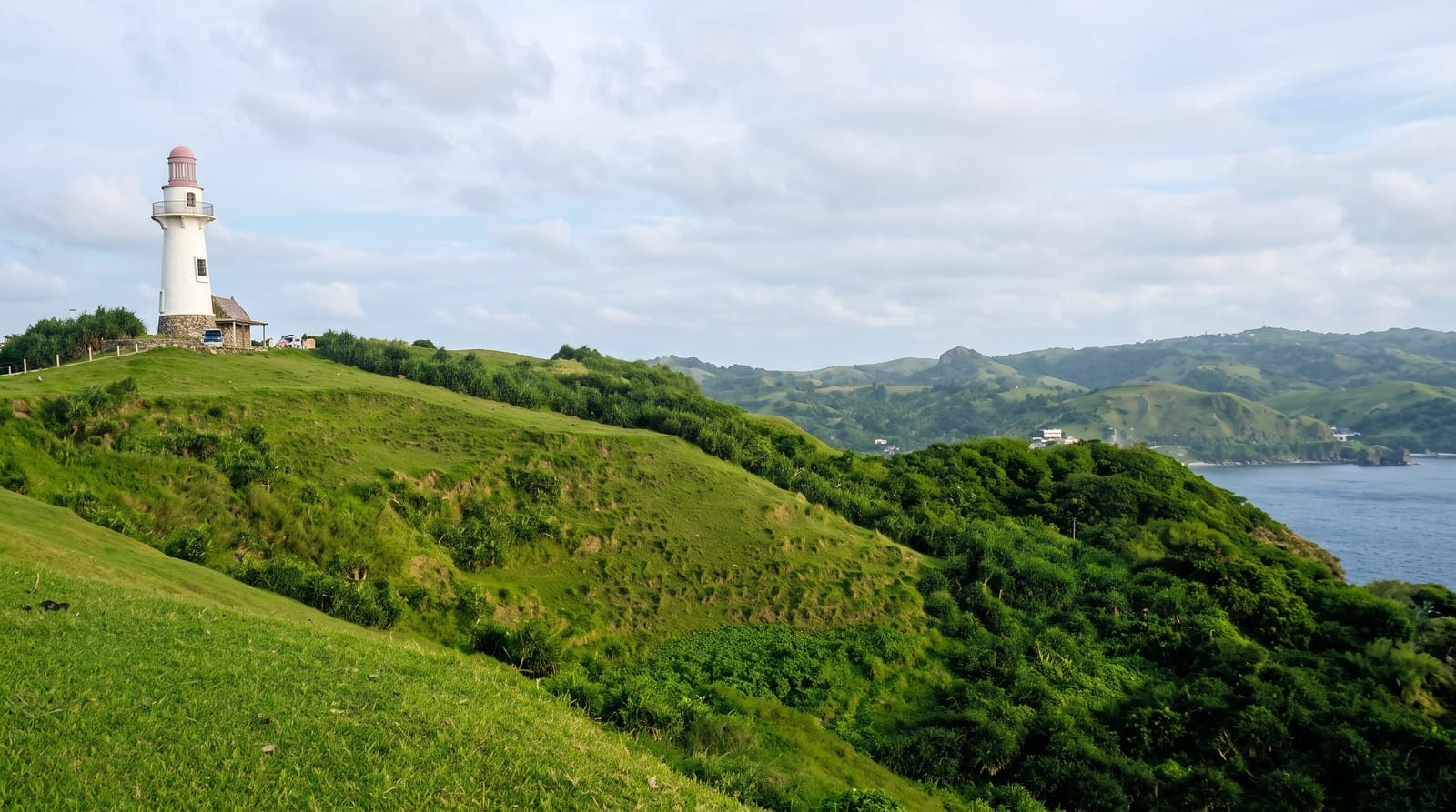
A hexagonal light above Mahatao's cliff pastures on Batan Island, standing over the Marlboro-country hills of Batanes.
Updated 24 August 2026
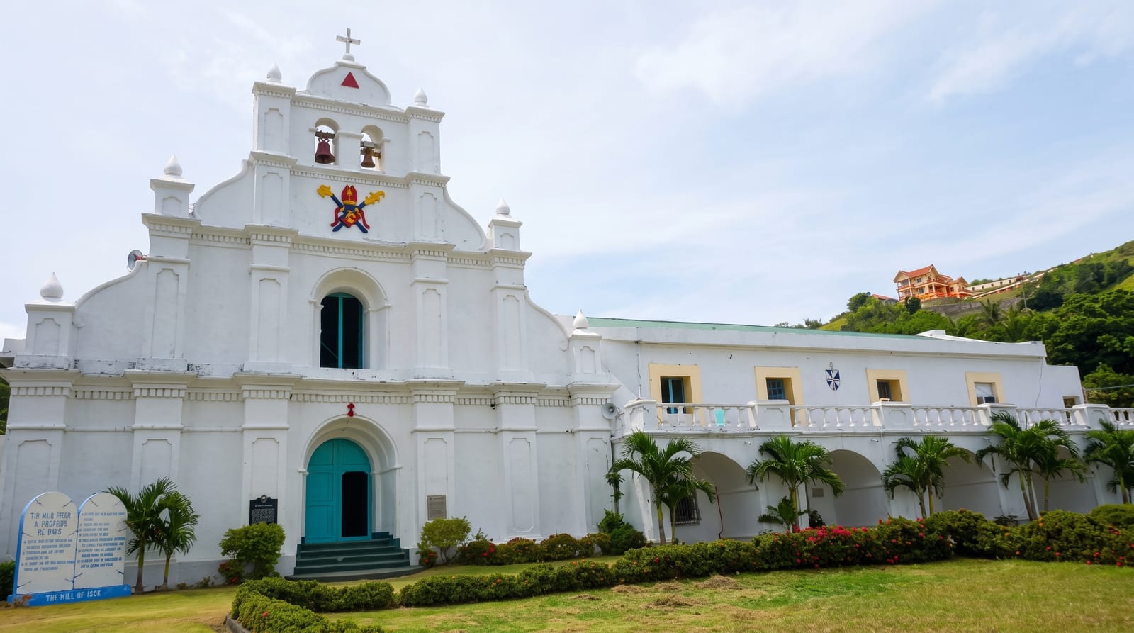
Tayid stands on a rise above Mahatao on the eastern side of Batan Island, a hexagonal stone tower built in the 2000s alongside the others in Batanes to mark the coast and to give the island's roads a destination. What it overlooks is the reason to go: Racuh a Payaman, the communal pasture that everyone calls Marlboro Country, where cattle and carabao graze on grass running to the edge of cliffs that drop into the Pacific, with the hills of Uyugan beyond and Iraya behind. The tower itself is closed more often than not, and nobody minds - the point is the walk out along the ridge and the view. Wind here is relentless, which is why the grass is short and the trees are absent, and why the Ivatan build their houses of metre-thick stone. It sits on the standard south Batan circuit with the Mahatao church, the House of Dakay at Ivana and the Chawa viewpoint.
The main sights
- The hexagonal tower - the stone light on the ridge.
- Racuh a Payaman - the cliff-edge communal pasture below.
- The Pacific cliffs - drops straight into open ocean.
- The Iraya view - the volcano north across the island.
When to go
March to June for settled weather; the wind blows year-round and is fierce in the typhoon months. Morning light suits the east-facing cliffs.
What to expect
The tower is usually closed to climbing. There is no shelter from wind or sun on the ridge, and cliff edges are unfenced. It is a viewpoint stop, not a site with facilities.
Nearby
Mahatao church, the House of Dakay at Ivana and the south Batan road circuit are all close; Basco is twenty minutes north.
What to pack for Tayid Lighthouse
Chosen from what this place is for. Tap a kit for the full checklist.
- Comfortable walking shoes - Sightseeing means kilometres of pavement and cobbles daily. Find on Amazon
- A slim anti-theft daypack - Zips that close properly; keep it in front in crowds and on transit. Find on Amazon
- A refillable water bottle - Many cities have public fountains; save money and plastic. Find on Amazon
- A light layer + compact umbrella - For museum air-con and a sudden shower. Find on Amazon
Some links on this page are Amazon affiliate links - if you buy through them we may earn a small commission at no extra cost to you.
All packing kitsPlan your trip
Where to start if Tayid Lighthouse is going on the list.
Booking links on this page are affiliate links - if you book through them we may earn a small commission at no extra cost to you. It never changes what we write about a place.
Opening times, ticket prices and seasonal closures change - check the official source before you go: official site.