Mount Arayat
The lone volcano of the Pampanga plain - a forested cone rising from flat rice country, climbed by two trails to a crater-rim summit.
Updated 22 October 2026
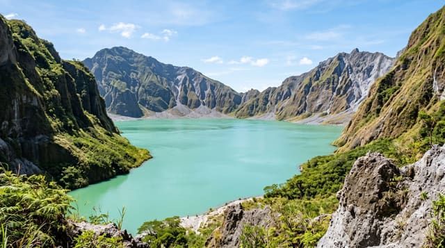
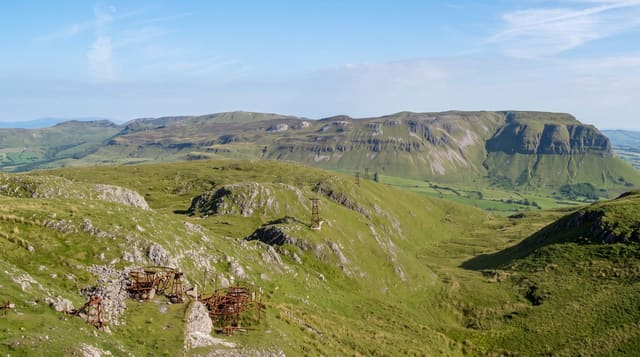
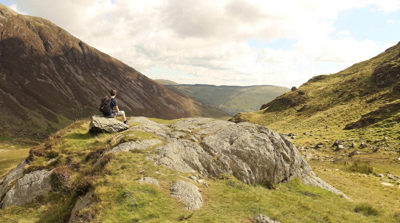
AI illustration
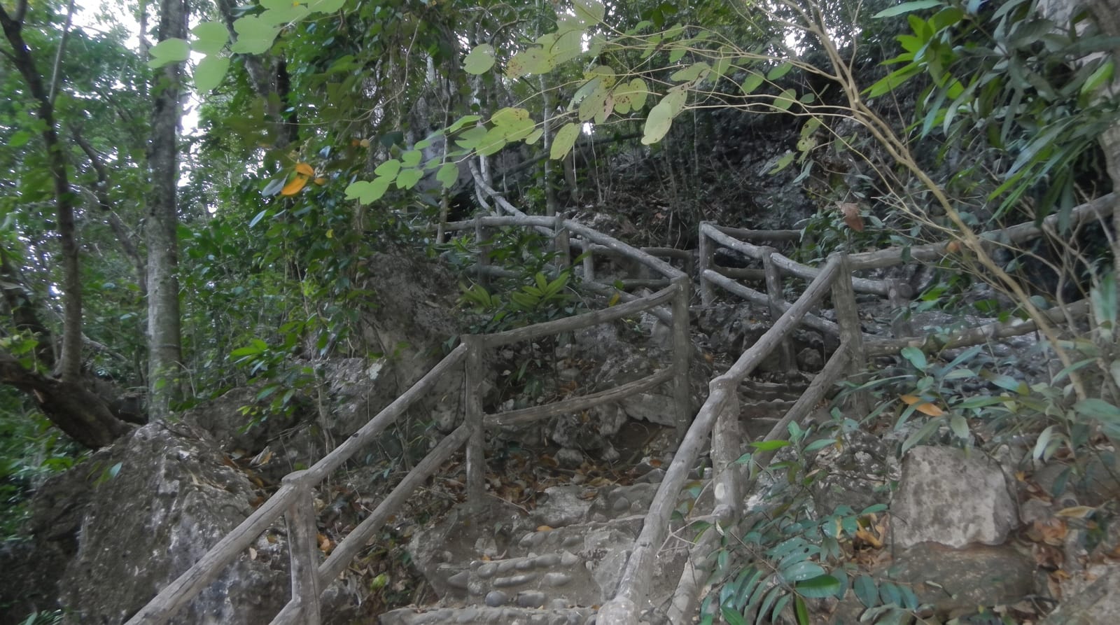
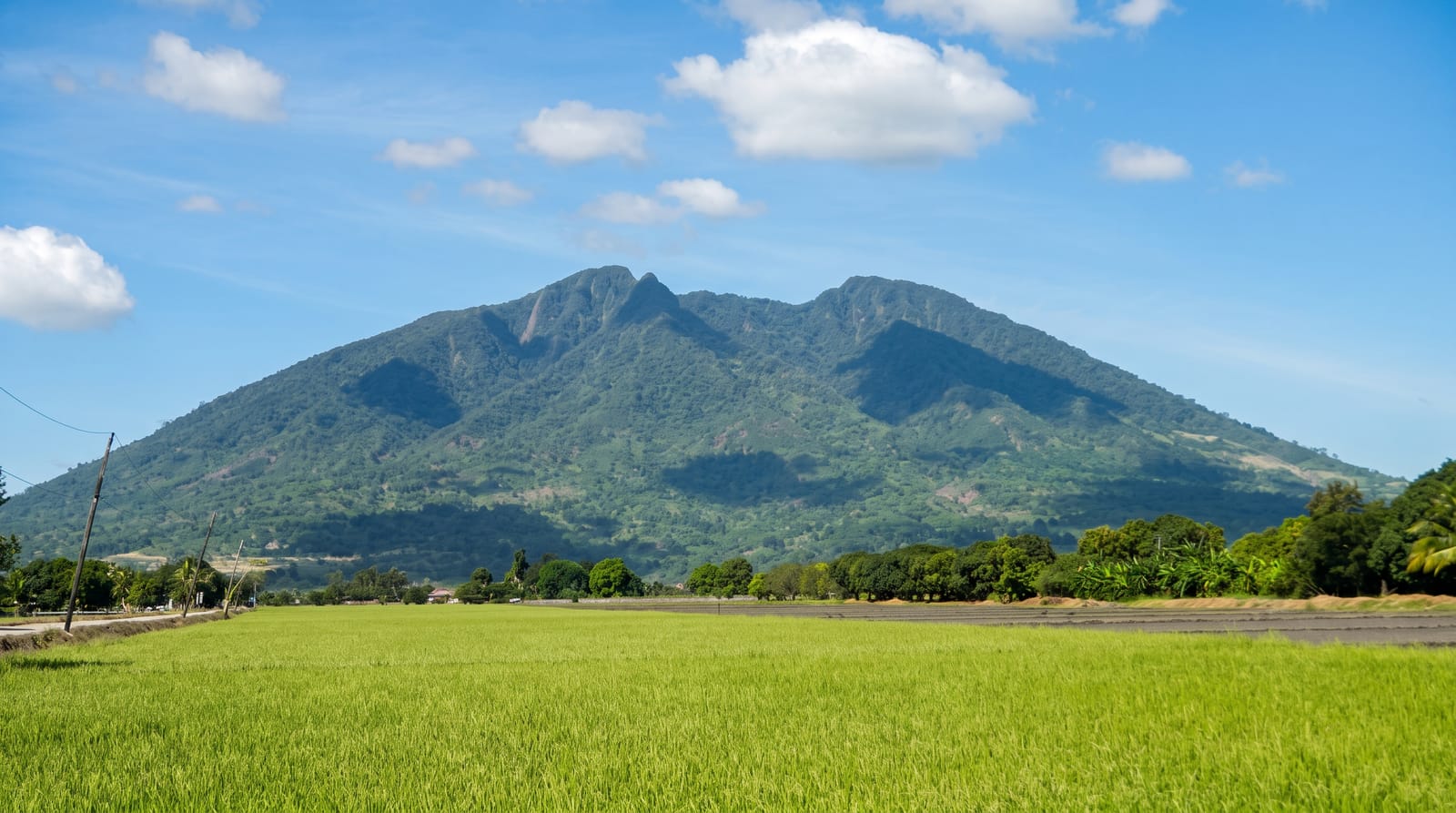
Nothing else interrupts the Pampanga plain, which is why Arayat is visible for fifty kilometres in every direction: a solitary forested cone of just over a thousand metres, an old and long-quiet volcano whose horseshoe crater opens to the west. Two routes climb it. The Arayat side, through the national park with its old spring-fed pools, is the shorter and steeper, largely a scramble on roots and rock. The Magalang side is longer and gentler, a ridge walk through cogon grass and forest that most day-hikers prefer, and the two are often combined as a traverse with a guide arranged at either end. The summit area is thick with trees and gives its views in windows rather than panoramas - the plain, the fishponds, Pinatubo's ash-blasted skyline to the west and, on clear mornings, the Sierra Madre east. The mountain is culturally loaded too: Pampanga's folklore places the goddess Sinukuan on its slopes.
History
The earliest Western mention of the mountain is in the travel diary of the Italian Gemelli Careri in 1696, who recorded that the local people called it Bondo Kalaya; this became Bondoc Alaya and in time Arayat, though other explanations link the name to a Spanish encomendero or to dayatan, the dry-season rice crop. The isolated volcano rises to 1,026 metres above the plains of Pampanga (Wikipedia, Mount Arayat).
The landscape
- The lone cone - a volcano standing out of flat rice country.
- The two trails - steep Arayat side, long Magalang ridge.
- The summit windows - views out through the canopy.
- The park pools - old spring-fed swimming basins at the base.
When to go
November to April for dry trails; start early, as the plain heats fast and afternoon storms build in the wet months.
What to expect
Guides and registration are required and the trails are steeper and rootier than the modest height suggests. Water is scarce on the ridge - carry your own. The summit is forested; do not expect a bare-peak panorama.
Nearby
Pampanga's food towns, the Candaba wetlands and Clark's aviation area lie across the plain.
Key facts
Source: Wikidata, item Q626809, read on 18 October 2026.
What to pack for Mount Arayat
Chosen from what this place is for. Tap a kit for the full checklist.
- Broken-in walking shoes or boots - Grip and ankle support matter more than looks; never hike in brand-new boots. Find on Amazon
- Reef-safe sunscreen - High SPF that will not bleach the coral you are swimming over. Find on Amazon
- Layers for big temperature swings - Warm sun by day, near-freezing at night, even near the equator. Find on Amazon
- Layers + a waterproof shell - Mountain weather turns fast; a packable rain jacket saves the day. Find on Amazon
Some links on this page are Amazon affiliate links - if you buy through them we may earn a small commission at no extra cost to you.
All packing kitsPlan your trip
Where to start if Mount Arayat is going on the list.
Booking links on this page are affiliate links - if you book through them we may earn a small commission at no extra cost to you. It never changes what we write about a place.
Opening times, ticket prices and seasonal closures change - check the official source before you go: official site.