Benbulbin
A flat-topped limestone mountain rising straight off the Sligo farmland, its north face cut into vertical fluting by ice.
Updated 19 October 2026
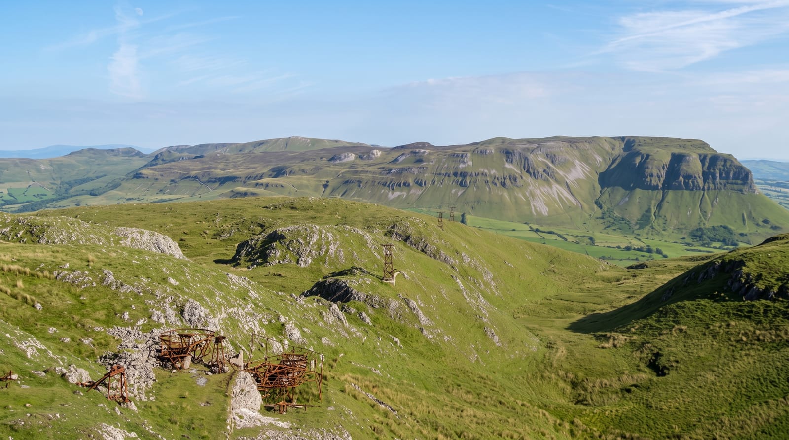
AI illustration
Benbulbin is the flat-topped ridge that dominates north Sligo, a table of limestone capped with harder rock and cut on its northern face into vertical fluting by ice. It stands 526 metres, which is not high, but it rises straight off low farmland and is visible from most of the county. The mountain is a botanical site as much as a scenic one, holding arctic and alpine plants on ledges that grazing animals cannot reach. Most visitors see it from the road or walk the forest loop at Gortarowey, which curls through conifer plantation to open views of the north face. The summit plateau is reached from the far side and is boggy and exposed.
History
The mountain, 526 m high, formed as a nunatak in the last Ice Age. Its Irish name, Binn Ghulbain, joins binn, "peak", with a word that may mean beak or jaw, or may refer to Conall Gulban, a son of Niall of the Nine Hostages (Wikipedia, Benbulbin).
What's there
- The north face - the fluted vertical wall, best seen from the coast road.
- Gortarowey forest loop - a waymarked walk of a few kilometres to the viewpoints.
- The ledge flora - arctic and alpine species surviving above the grazing line.
- Drumcliffe - the churchyard and round tower at the foot of the mountain.
When to go
The mountain reads best under low sun in spring or autumn, when the fluting on the north face throws shadow. Summer haze flattens it. The forest loop is walkable all year on a gravel path. If you plan to go onto the plateau, pick a settled clear day, since cloud sits on the top for much of the winter.
Good to know
From the popular loop you look at Benbulbin rather than climb it, and some people expect a summit trail that does not exist on that side. The plateau route is long, wet underfoot and dangerous near unfenced cliff edges in cloud. Parking at the forest entrance is small and fills at weekends. In flat grey light the whole thing looks like a lump.
Nearby
Sligo town is ten minutes south; Mullaghmore and the coast are north.
Key facts
Source: Wikidata, item Q816458, read on 18 October 2026.
What to pack for Benbulbin
Chosen from what this place is for. Tap a kit for the full checklist.
- Broken-in walking shoes or boots - Grip and ankle support matter more than looks; never hike in brand-new boots. Find on Amazon
- Warm base layers - Merino or synthetic against the skin - never cotton, which chills when damp. Find on Amazon
- Layers for big temperature swings - Warm sun by day, near-freezing at night, even near the equator. Find on Amazon
- Layers + a waterproof shell - Mountain weather turns fast; a packable rain jacket saves the day. Find on Amazon
Some links on this page are Amazon affiliate links - if you buy through them we may earn a small commission at no extra cost to you.
All packing kitsPlan your trip
Where to start if Benbulbin is going on the list.
Booking links on this page are affiliate links - if you book through them we may earn a small commission at no extra cost to you. It never changes what we write about a place.
Opening times, ticket prices and seasonal closures change - check the official source before you go: official site.


