Lake Mainit
One of the country's largest and deepest lakes, lying between Surigao del Norte and Agusan del Norte with fishing towns on its shores.
Updated 22 October 2026

AI illustration
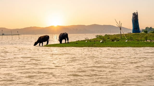
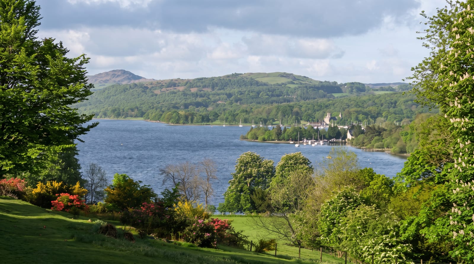
Lake Mainit spreads across the boundary between Surigao del Norte and Agusan del Norte, the fourth largest lake in the Philippines by area and the deepest of the big ones, filling a basin ringed by hills with four municipalities on its shore. It is a working lake rather than a tourist one: fishing is the economy, and the pijanga and other endemic fish taken from it appear in every market around. Visitors come for the setting - the view across the water to the mountains, the boat trips out from Mainit or Jabonga, the hot springs at Mainit town that give it its name, and the small waterfalls in the hills behind. Bird life along the shallow margins is good in the early morning. There is little formal tourism infrastructure, and the lake is generally seen as a stop on the road between Surigao and Butuan rather than a destination in itself.
History
The lake takes its name from the Visayan word mainit, "hot". It is the fourth largest lake in the Philippines, with a surface of 170.6 square kilometres, and the deepest, reaching 223 metres (Wikipedia, Lake Mainit).
What you'll find
- The open lake - the wide water with hills behind.
- The fishing boats - the working craft of the shore towns.
- The hot springs - the thermal water that names Mainit.
- The shore margins - shallow edges good for birds at dawn.
When to go
December to May for the driest roads and calmest water. Early morning for birds and mist on the lake.
Good to know
There is little in the way of tourist facilities - no resorts of note, few restaurants. Boat trips are arranged informally at the shore. It suits a stop on a longer drive rather than a destination visit.
Nearby
Surigao City and the Siargao ferries are north; Butuan and the Agusan valley are south.
Key facts
Source: Wikidata, item Q1869003, read on 18 October 2026.
What to pack for Lake Mainit
Chosen from what this place is for. Tap a kit for the full checklist.
- Travel rod + reel - A packable multi-piece rod fits in a case and covers most holiday fishing. Find on Amazon
- Reef-safe sunscreen - High SPF that will not bleach the coral you are swimming over. Find on Amazon
- Swimwear - Needed at most public thermal pools; some traditional baths are nude and single-sex. Find on Amazon
- A small tackle selection - Hooks, weights, line and a few lures or flies suited to local waters. Find on Amazon
Some links on this page are Amazon affiliate links - if you buy through them we may earn a small commission at no extra cost to you.
All packing kitsPlan your trip
Where to start if Lake Mainit is going on the list.
Booking links on this page are affiliate links - if you book through them we may earn a small commission at no extra cost to you. It never changes what we write about a place.
Opening times, ticket prices and seasonal closures change - check the official source before you go: official site.