Chott el Jerid
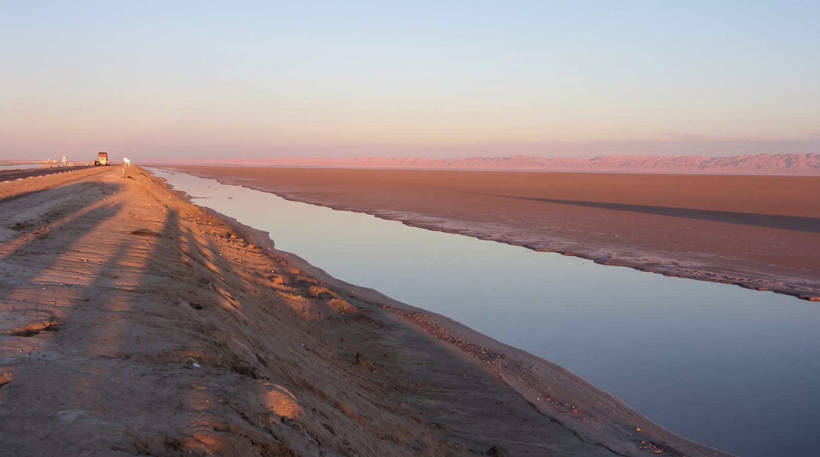
A vast salt flat crossed by a single causeway, dry and blinding for most of the year and given to mirages.
Updated 21 October 2026
AI illustration
Chott el Jerid is the largest salt pan in the Sahara, some 250 kilometres long and over 7,000 square kilometres between Tozeur and Kebili, a basin that fills with a shallow film of water after winter rain and then bakes dry, leaving a crust of salt that stretches to the horizon in white, pink and grey. A single causeway crosses it, and driving out onto that road with nothing on either side but glare and salt is a genuinely disorienting experience. Mirages here are frequent and convincing. Along the crossing, opportunistic stalls sell desert roses, crystallised gypsum formations, and the salt is stained in places by mineral and algal colour. At either end are the mountain and desert oases of Tozeur, Nefta, Chebika and Tamerza, where springs support dense palm groves against bare rock.
Highlights
- The causeway crossing - driving the road across the open salt pan.
- Coloured salt - pink, ochre and grey staining in the crust after rain.
- Tozeur old town - distinctive patterned brickwork in the medina.
- The mountain oases - Chebika, Tamerza and Mides in the hills to the northwest.
When to go
October to April. The crust is at its most colourful shortly after winter rain, though heavy rain can flood sections of the causeway. Summer temperatures on the chott are dangerous and the glare is severe.
Good to know
There is very little to do but drive across and stop, and visitors expecting a landmark find a lot of flat white nothing, which is either the appeal or a disappointment. Stalls along the causeway are persistent. Do not drive off the causeway onto the crust: it looks solid and is not, and vehicles get bogged in the mud beneath.
Nearby
Tozeur and Nefta are at the western end; Douz and the sand dunes lie southeast.
Key facts
Source: Wikidata, item Q849143, read on 18 October 2026.
What to pack for Chott el Jerid
Chosen from what this place is for. Tap a kit for the full checklist.
- Reef-safe sunscreen - High SPF that will not bleach the coral you are swimming over. Find on Amazon
- Loose, light, long clothing - Covering up beats bare skin in the desert - and locals dress this way for a reason. Find on Amazon
- Quick-dry towel - A microfibre towel packs small and dries in minutes. Find on Amazon
- A wide-brim hat + sunglasses - Shade for your face and eyes where there is none overhead. Find on Amazon
Some links on this page are Amazon affiliate links - if you buy through them we may earn a small commission at no extra cost to you.
All packing kitsPlan your trip
Where to start if Chott el Jerid is going on the list.
Booking links on this page are affiliate links - if you book through them we may earn a small commission at no extra cost to you. It never changes what we write about a place.
Opening times, ticket prices and seasonal closures change - check the official source before you go: official site.