Itbayat Island
The northernmost inhabited island of the Philippines - a raised coral plateau ringed by cliffs, with no beach and ports where boats are lifted onto rock.
Updated 22 October 2026
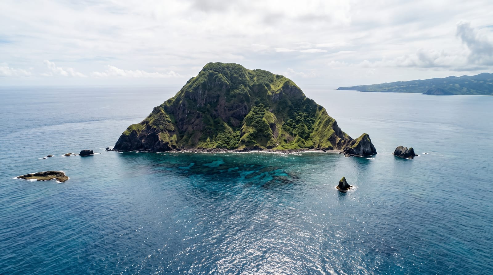
AI illustration
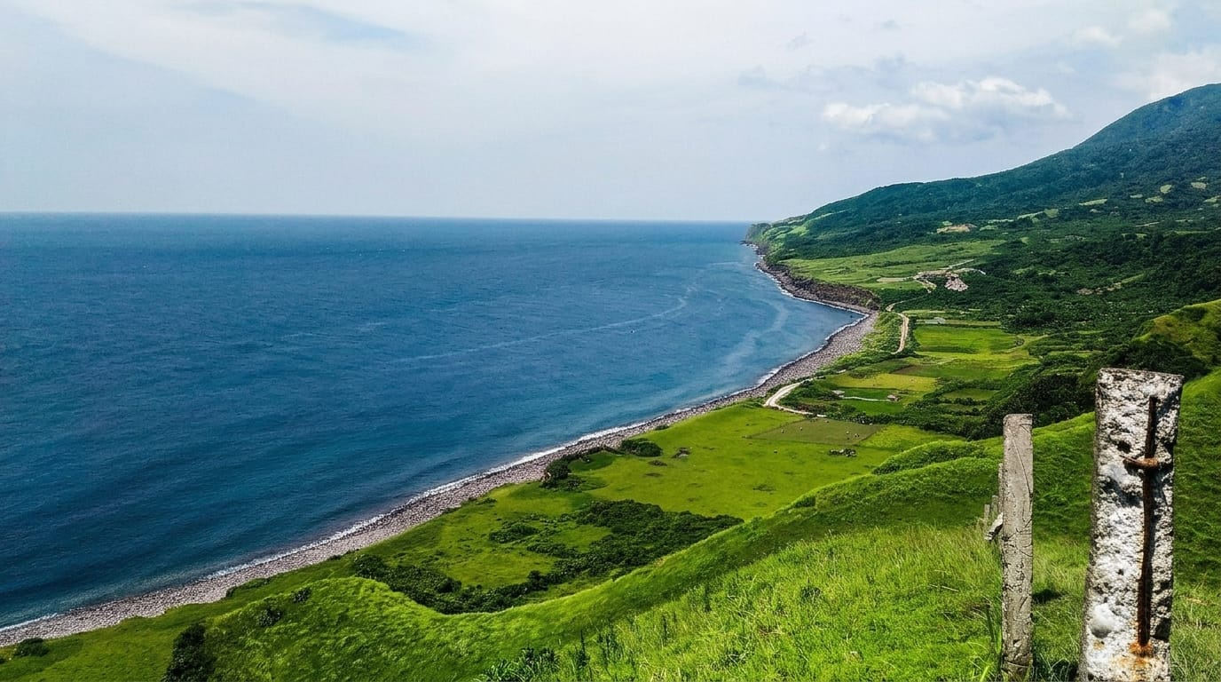
Itbayat is the last inhabited island before Taiwan, and it is built unlike anywhere else in the country: a raised coral platform tilted out of the sea, ringed almost entirely by cliffs, with no natural beach and no harbour. Boats arrive at rock-cut ports like Chinapoliran, where passengers jump onto the stone as the swell lifts the hull and the boat itself is winched up out of the water. Above the cliffs the island is farmland and pasture, with the town of Mayan, stone houses, cattle, and viewpoints - Torongan Hill, Rapang Cliff with its wind-sculpted cypress and grazing goats, Mount Riposed - looking out over an unbroken horizon. Torongan Cave, on the coast, is associated with the earliest Austronesian arrivals in these islands. The crossing is the barrier: the falowa boats run only when the channel allows, flights are small and few, and visitors are routinely stuck for extra days. Those who make it find the emptiest, strangest island in Batanes.
History
Between 2,000 and 4,000 years ago Austronesian settlers reached Itbayat, living in Torongan Cave below Torongan Cliff and building the Axurud, the oldest stone tomb in Batanes. The mission was founded in 1855, the island became a municipal district in 1909 and a municipality in 1935 (Wikipedia, Itbayat).
The landscape
- The cliff ports - boats winched onto rock at Chinapoliran.
- Rapang Cliff - wind-shaped cypress and goats above the sea.
- Torongan Cave - the coastal cave of early Austronesian arrival.
- The plateau farms - stone houses, pasture and open horizon.
When to go
March to May, when the channel is at its calmest; even then crossings cancel. Never plan a tight return connection out of Itbayat.
Good to know
The boat crossing is rough and famously sickening; the light plane is faster but tiny and weather-bound. Accommodation is homestays, power and signal are limited, and there is no beach - this is a cliff island.
Nearby
Basco and Batan's circuits lie across the channel; Sabtang's stone villages are the other island trip from Basco.
What to pack for Itbayat Island
Chosen from what this place is for. Tap a kit for the full checklist.
- Reef-safe sunscreen - High SPF that will not bleach the coral you are swimming over. Find on Amazon
- Head torch + spare batteries - Hands-free light is essential; caves are truly dark. Find on Amazon
- Quick-dry towel - A microfibre towel packs small and dries in minutes. Find on Amazon
- Grippy closed shoes - Cave floors are wet, muddy and slick with formations. Find on Amazon
Some links on this page are Amazon affiliate links - if you buy through them we may earn a small commission at no extra cost to you.
All packing kitsPlan your trip
Where to start if Itbayat Island is going on the list.
Booking links on this page are affiliate links - if you book through them we may earn a small commission at no extra cost to you. It never changes what we write about a place.
Opening times, ticket prices and seasonal closures change - check the official source before you go: official site.